- Place
- Žagarė, Joniškis District Municipality
- Region
- Žagarė Regional Park
- Type
- educational trail across a glacial esker landscape
- Address
- S. Daukanto Street, Žagarė, Joniškis District
- Coordinates
- 56.35764, 23.23117
- Visit duration
- about 1.5-2 hours; longer if you continue towards Žvelgaičiai Lake and other points
- Best time
- late spring to autumn; a dry day is easier for stairs and natural-surface sections
Žagarė Esker Trail, Žagarė Esker Nature Route
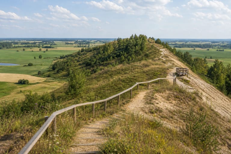
A trail across the high part of Žagarė Esker
The Žemaitija Protected Areas Directorate gives two options for the Žagarė Esker Educational Trail: a 3.6 km circuit around Žvelgaičiai Lake and an approximately 5 km route starting at Žvelgaitis Hillfort. The S. Daukanto Street coordinate on this page marks the directorate's start beside the hillfort, not every turn of the trail.
This page is about the specific visitor trail. It should not be confused with the separate Žagarė Esker page: that page focuses on the geological formation's structure and scale, while this one focuses on walking surfaces, stairs, viewpoints, facilities, and practical access.
How the glacial ridge formed
The esker formed when meltwater streams from a retreating glacier deposited sand, gravel, and pebbles. The VLE describes the Žagarė esker as part of a longer glacial landform: it extends for about 17 km in Lithuania and much farther across the Baltic region. Around Žagarė, a particularly clear and visitor-important section remains.
The VLE highlights an approximately 1 km best-preserved section near Žvelgaitis Hill, up to 18 m high and about 5.97 ha in area. These figures describe the geological object, not the length of the educational trail. Natura 2000 habitats are also protected here, so stay on the route.
Žvelgaitis Hillfort, Voras, and the lakeshore
The route crosses a landscape where the glacial ridge meets Žvelgaitis Hillfort. Nearby references include the Voras viewpoint, Žvelgaičiai Lake, and a spring. The hillfort has its own page, so the useful point here is that its slopes and rises become part of the walking experience.
Maps and visitor descriptions also mention extensions towards the lake, Meilė Island, a pontoon bridge, and the setting of former mill sites. Access to these points can depend on season, water level, and the condition of the infrastructure; do not treat them as guaranteed parts of the route.
Stairs, surfaces, and facilities
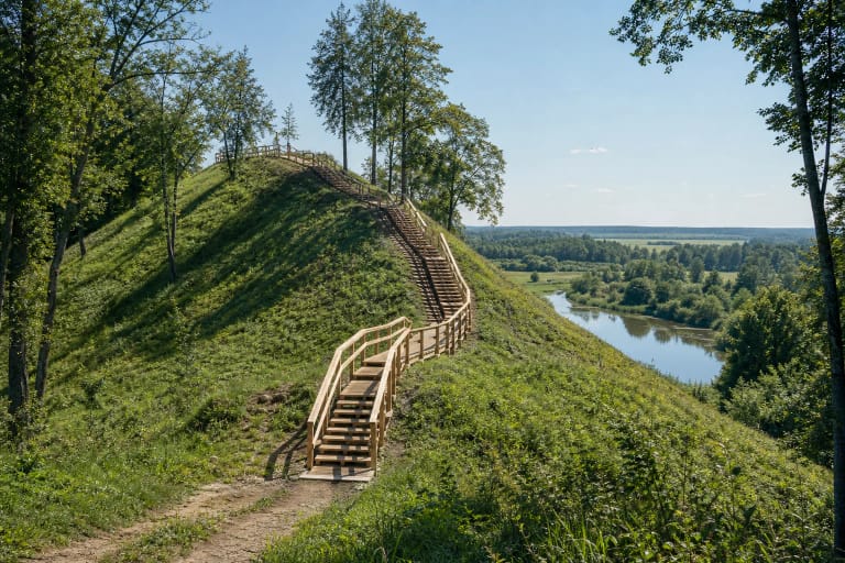
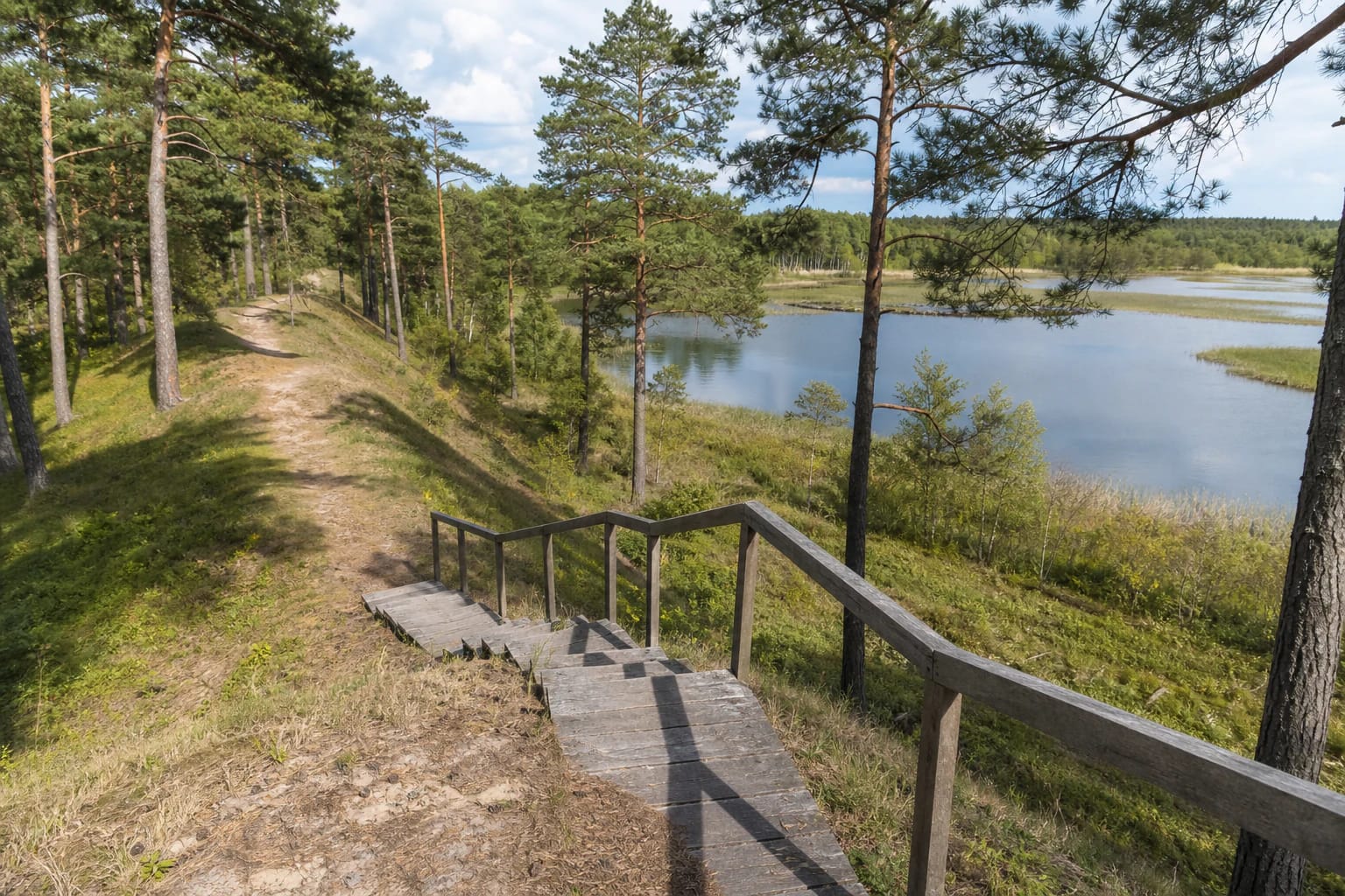
The ridge includes natural and sandy surfaces, with timber stairs and handrails on steeper sections. In 2022 the Žemaitija Protected Areas Directorate reported renewing three of the most worn stair sections; the same account mentions eleven stair locations along the route. After rain or frost, timber and slopes may be slippery.
The Saugoma.lt entry lists shelters, small viewpoints, information stands, fire places, basketball and beach-volleyball areas, parking, outdoor toilets, and changing cabins. This is the officially listed infrastructure, but condition and operation can differ on the day of a visit.
Visiting the protected esker
Allow about 1.5-2 hours for the route, and longer for stops at the hillfort and lake. Shoes with good grip are useful, especially after rain. Because of stairs, slopes, and natural ground, this trail is not confirmed as fully step-free or suitable for every mobility aid.
The checked official trail pages did not list fixed opening hours or a separate ticket. Leave vehicles only in designated places, use fire places only where permitted, and follow protected-area rules in the Natura 2000 landscape.