Joniškis District Municipality
Joniškis District
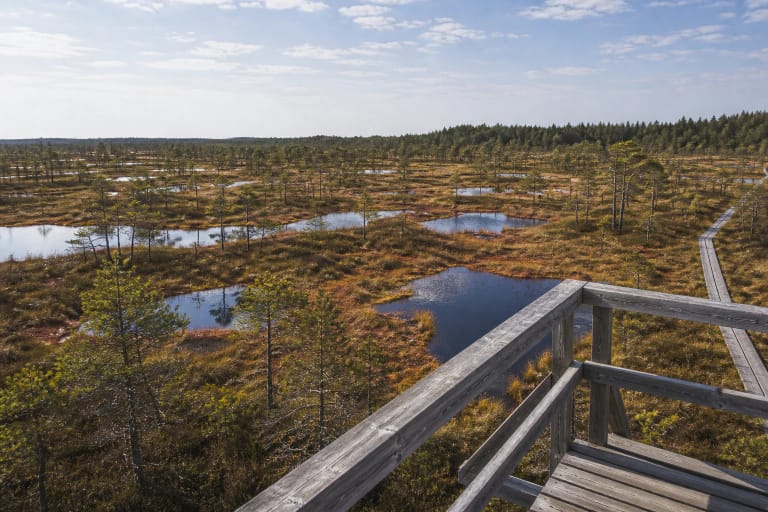
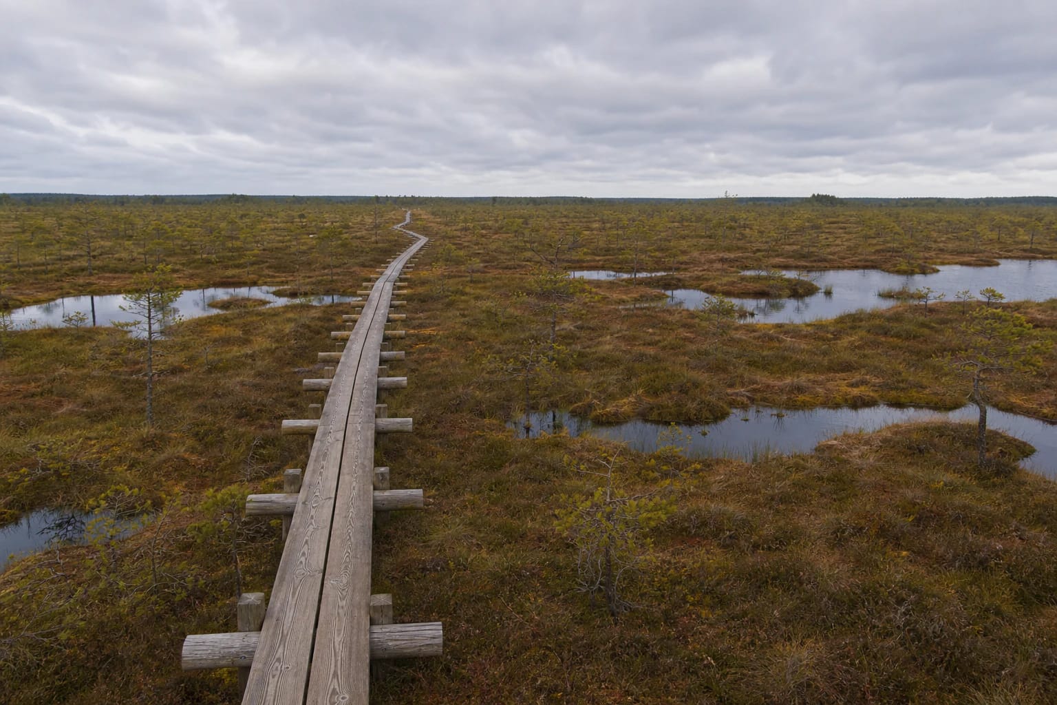
long bog boardwalk in Žagarė Regional Park
Mūša Tyrelis Telmological Reserve, Joniškis District
56.21100, 23.24700
2-4 hours for the full route
May-October; in winter only after assessing trail and weather conditions
Mūša Tyrelis Trail
A long route through the bog
Mūša Tyrelis Educational Trail stands out for its scale. Saugoma.lt gives a 5,775.87 m boardwalk, while with ground sections the whole route is more than 6 km.
This is not a fifteen-minute stop. Mūša Tyrelis works best as a slow hike requiring time, water, comfortable footwear, and respect for the bog environment.
Telmological reserve
Mūša Tyrelis Telmological Reserve was established in 1988 and is part of the European Natura 2000 network; Saugoma.lt gives an area of 1,675.6 ha. It protects a system of bogs, peatlands, wet forests, and open tyrelis habitats. In 2008 Mūša Tyrelis bog was added to Žagarė Regional Park, increasing the park from 4,930 to 7,140.42 ha.
VLE describes Mūša Tyrelis as one of the few large natural bog complexes surviving in North Lithuania. The whole wetland covers about 24.3 sq. km, and the greatest peat thickness in the raised bog reaches 9.9 m. This northern, open, wide horizon gives the trail its character.
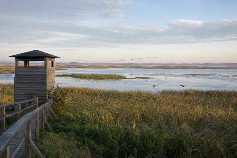
The bog has many protected plants, including Baltic and narrow-leaved marsh orchids, bird's-eye primrose, and common butterwort. Rare birds breeding here include European golden plover, wood sandpiper, grey crane, and black grouse; in spring, flocks of migrating white-fronted and bean geese stop here.
The beginnings of the Mūša and Juodupis
Saugoma.lt and VLE emphasize that the Mūša and Juodupis begin on the southern edge of Mūša Tyrelis. This gives the route a hydrological layer: visitors are walking not only through a bog but through a place where rivers begin.
In the middle of the bog lies natural Miknaičiai Lake, about 5.7 ha; VLE describes it as a relic of a once large shallow basin. The trail, installed in 2015, leads to the lake and across more open bog areas, so the landscape changes: boards over sphagnum, dwarf pines, water eyes, forest edges, and open tyrelis space.
The image of Lithuania's longest bog boardwalk
Mūša Tyrelis Trail is often presented as included in the Lithuanian record book because of the long boardwalk through bog. It is a strong travel hook, but the record is a means, not the only point.
The real impression appears through long walking: the horizon changes little, yet different bog textures, bird sounds, water level, and light gradually become visible.
A layer of partisan memory
Sources also mention partisan sites in the Mūša Tyrelis area, connected with a Genys unit camp or headquarters active in 1945-1946. This layer should be treated respectfully as historical memory in the bog landscape.
Bogs were often difficult to access, so in post-war resistance history they gained practical importance. When visiting such places, stay on marked trails and do not disturb memorial objects.
Practical preparation
Because of its length, the trail requires more preparation than short boardwalk loops. Carry water, protection from sun or wind, and in the warm season insect repellent.
In winter or after rain, assess boardwalk slipperiness. Wind feels stronger in the open bog, and you must return at the same pace, so do not start the route too late.