- Place
- Šventoji, Palanga City Municipality
- Region
- Palanga
- Type
- active 39-metre coastal navigation lighthouse in a fenced technical compound
- Address
- Approaches from Švyturio Street, Šventoji, Palanga City Municipality
- Coordinates
- 56.02517, 21.08217
- Visit duration
- 15-30 minutes for the exterior; the tower is not routinely open to visitors
- Best time
- a bright, dry day for the exterior; after dark, observe the signal only from a safe public place
Šventoji Port Lighthouse, Šventoji Navigation Mark
An active Šventoji navigation mark stands 780 metres inland, not on the beach
Šventoji Lighthouse stands inside the resort, among pines and low buildings, approximately 780 m east of the Baltic shoreline. That position can send a first-time visitor looking in the wrong place by the port mouth or breakwater. The Lithuanian Transport Safety Administration gives 56°01.51′ N, 21°04.93′ E, which converts to 56.025167, 21.082167. This point marks the technical lighthouse site, not a public gate or verified car park.
In the administration's current list of navigation marks, the object is named Šventoji, assigned to Šventoji Port, and numbered 0001 nationally and C3382 internationally. It is not a decorative observation tower or a disused resort emblem. The current official record supplies its light characteristic, sector, and range, so the correct starting point is an operational navigation structure.
The perimeter fence and service equipment belong to that function. Much of the tower and its summit can be seen from surrounding public approaches, but a coordinate does not grant access through the gate. Do not search for an informal route through the fence or approach the base when the compound has not been officially opened.
The 39-metre tower and 42-metre focal height measure different things
The lighthouse is a 39 m, four-sided open steel tower. Its red legs splay near the ground and are tied by dense diagonal trusses, with stairs and intermediate platforms visible inside. The upper section carries a striking rectangular daymark made from horizontal slats: a broad white band crosses a red field. A small gallery and glazed lantern room sit above it.
The 42 m figure in the LTSA record is not a second measurement of the whole structure. It is the focal height of the light above mean sea level, whereas 39 m describes the tower measured from the ground. Because the site itself stands a few metres above sea level, the figures are compatible and should not be merged.
The red lattice, white horizontal upper band, pines, perimeter fence, and modest service setting define the lighthouse visitors can see now. A rounder observation volume, glass lift, or new facade skin shown in municipal design concepts is not the present appearance on the ground.
The construction date remains 1956-1957, followed by changes in 1964 and 2000
Reliable sources do not agree on the first year. Palanga City Municipality and the Cultural Heritage Department's current lighthouse overview use 1957, while the VLE article on Šventoji gives 1956 twice. None explains the difference, making 1956-1957 the responsible date range rather than silently choosing one account.
VLE identifies 1964 as the year a sound signal was installed. That is a documented stage in the technical history of the lighthouse complex, but the current LTSA record describes the light and does not confirm that the old sound signal operates today in the same form. Visitors should not expect it as a regularly audible attraction.
A major reconstruction took place in 2000. The steel structure was strengthened and modernised equipment made in Estonia was installed. Official descriptions call this a major reconstruction, so without a separate primary record there is no basis for claiming that the entire earlier tower was demolished and replaced that year. The current form remains visibly an engineered navigation structure.
Three white flashes in 15 seconds have a nominal range of 17 nautical miles
The current LTSA record writes the characteristic as Bl(3) B 15s in Lithuanian notation and Fl(3) W 15s internationally. It is a group of three white flashes in a 15-second cycle: three 1.5-second light intervals are separated by 1.5-second eclipses, followed by a 7.5-second eclipse before the cycle begins again. The rhythm enables mariners to identify a specific aid rather than merely notice an anonymous light on the horizon.
The official nominal range is 17 nautical miles, approximately 31.5 km, and the focal height is 42 m above sea level. This is a navigation specification for suitable visibility conditions, not a promise that the beam will always be visible at that distance from every Šventoji street. Trees, buildings, weather, and the observer's position all affect the view from land.
LTSA also records a visible sector of 000°-180°. It is safest to preserve that technical statement rather than turn it into an unverified tourist panorama diagram. If you want to watch the signal after dark, use a legal and clearly visible public place, stay outside the compound, and do not stand in the carriageway.
The tower interior and proposed viewing room are not yet a routine visitor experience
Šventoji Lighthouse occupies a fenced technical compound. In earlier years, supervised entry was occasionally offered on lighthouse days or during special events, but a one-off programme is not the same as regular opening hours. On 20 July 2026, official sources provided no permanent tower timetable, admission price, or unrestricted compound access.
In 2021 Palanga Municipality presented options for a glass lift, safer spiral stairs, an enclosed viewing room at roughly 35 m, an enlarged platform, and a future interpretation of lighthouse history. This was a tourism-adaptation concept, not an opening announcement. The Cultural Heritage Department likewise wrote in 2023 about plans to open lighthouses transferred to municipalities.
The later status check is decisive: Palanga's 2026 budget announcement allocated work to finish preparing the technical design for renovation and visitor adaptation that year. The lift, viewing room, museum function, and redesigned approaches shown in concepts therefore cannot yet be listed as working amenities. Plan an exterior-only stop unless an official municipal or operator notice explicitly gives a date and entry conditions.
How to fit the lighthouse safely into a Šventoji walk
Allow 15-30 minutes for the exterior. As you approach from the direction of Švyturio Street, first look for the red-and-white upper daymark rising over the pines, then read the complete engineering form from a safe public position, from the splayed lower legs to the lantern. A telephoto lens can reveal the trusses and slatted upper panel without crowding the fence or service zone.
No marked visitor platform or complete step-free access audit was found in official sources. Nearby street surfaces may provide a partial view more easily than the fence line, but a specific wheelchair viewpoint cannot be guaranteed. Park only where permitted, never block the service gate, and check the latest Palanga Municipality information for temporary restrictions or a specially announced opening.
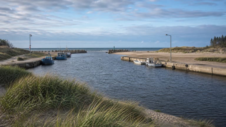
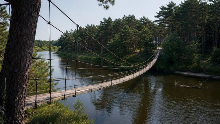
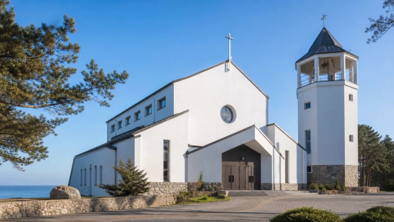
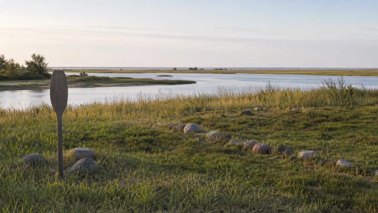
This short stop for industrial architecture combines naturally with Šventoji Port and river mouth, the Monkey Bridge, and the Star of the Sea Church. The route contrasts a navigation mark, river-and-sea infrastructure, a pedestrian bridge, and a tall sacred landmark. The Šventoji Prehistoric Settlement adds a much older layer of coastal history to a longer day.