- Place
- Vilnius City Municipality
- Region
- Vilnius
- Type
- city viewpoint, public square, and protected Old Town panorama point
- Address
- Jonas Kristupas Glaubicas Square at the junction of Maironio, Subačiaus, and Markučių streets, Vilnius
- Coordinates
- 54.67752, 25.30055
- Visit duration
- 20-40 minutes for the panorama; 1.5-3 hours with Kūdrų Park, Užupis, and the Bastion of the Vilnius Defensive Wall
- Best time
- a clear morning or late afternoon; autumn and leafless seasons reveal more layers of the city, although slopes can be slippery after rain and in winter
Subačiaus apžvalgos aikštelė, Subačius Street Observation Deck, Jonas Kristupas Glaubicas Square
The viewpoint, the square, and the exact location
Subačius Observation Deck stands on the southeastern edge of the Old Town, where Maironio, Subačiaus, and Markučių streets meet. The coordinates 54.6775191, 25.3005511 identify the exact Google Maps listing beside the panorama panel. Precision matters because search results sometimes apply the same name to nearby slopes, a seasonal café, or the lookout by the Bastion of the Vilnius Defensive Wall.
On 27 November 2024, Vilnius City Council named the previously unnamed public space Jonas Kristupas Glaubicas Square. Subačius Observation Deck remains the familiar name of the lookout and its Google Maps listing. Both names describe the same place: one refers to its function, while the other is the square's official name.
The actual site is a broad terrace paved with even rectangular slabs. A low black metal railing with a diamond pattern runs between pale concrete posts; nearby are an inclined panorama panel, traditional streetlamps, and a border of ornamental grasses and purple-flowering plants. It is not a wooden platform, an observation tower, or an enclosed terrace.
How to read the layers of the city
The view opens across a green slope and Kūdrų Park, historically known as the Missionaries' Ponds. Treetops fill the foreground, with the roofs of Užupis and the eastern Old Town rising behind them. The terrain prevents a single continuous wall of façades: instead, the city appears in layers of parkland, low houses, church towers, hills, and the distant modern high-rise district.
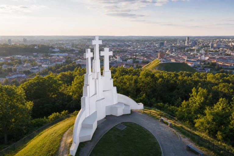
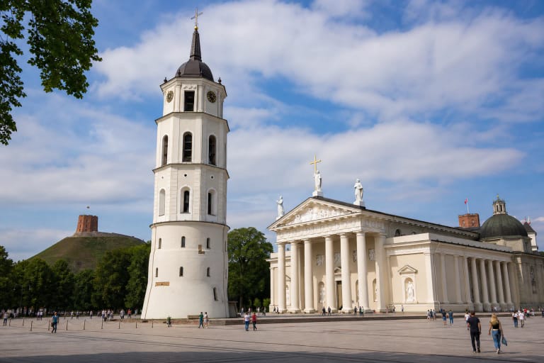
Official descriptions of the viewpoint identify St Bartholomew's Church on the Vilnia slope, the towers of the Šventaragis Valley, Gediminas Hill, and the Hill of Three Crosses. Glass towers on the right bank of the Neris form another clear marker in the distance. The panorama panel by the railing helps match these names to the skyline, so it is worth reading before taking photographs.
This is not an unchanging postcard. Summer foliage hides some of the lower roofs, autumn colour makes the Vilnia valley's relief easier to read, and winter reveals more buildings but may leave the approaches slippery. The sun sets towards the Old Town, giving warmer side light in late afternoon; early morning generally offers fewer visitors and a cleaner skyline.
A 2003 viewpoint and a monitored panorama
The present observation deck is not a surviving historic structure. The Vilnius Old Town Renewal Agency records the reconstruction of the Maironio and Subačiaus street junction in 2002-2003, together with a city viewpoint and a pedestrian path incorporating another lookout between Subačiaus and Maironio streets. Later city documents date the principal terrace to 2003.
Its significance lies less in the age of the terrace than in the historic landscape it reveals. Since 2016, the Vilnius Old Town Renewal Agency has documented changing panoramas from several important locations, including the Subačiaus and Maironio junction. This monitoring helps assess how new construction, vegetation, and changes to public space affect the Old Town skyline.
An assessment commissioned by the Cultural Heritage Department includes a panorama photographed from the Subačius viewpoint in January 2024. That does not mean every tree or bench is an individually protected object. The protected concern is the broader visual integrity of Vilnius's historic centre, with the viewpoint serving as a fixed reference from which changes can be compared.
The old Subačius route, city gate, and Glaubicas name
Subačiaus Street is much older than the viewpoint. It appears in fifteenth-century documents and formed part of a route leading out of the city towards the eastern lands of the Grand Duchy of Lithuania. One interpretation suggests that its name may derive from a wealthy fifteenth-century resident, but this remains a hypothesis rather than an established fact.
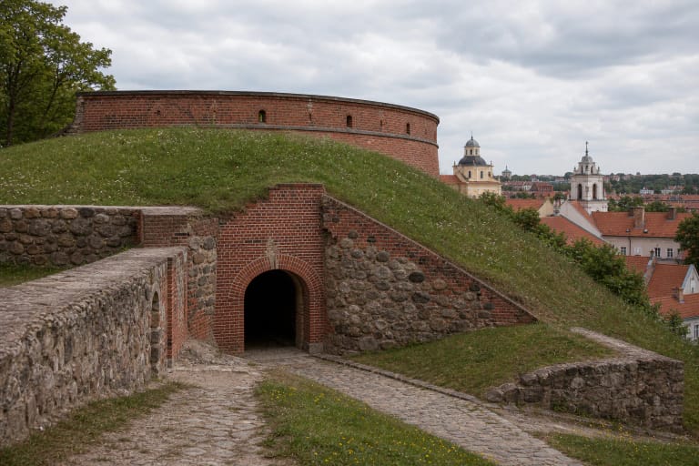
Construction of the Vilnius defensive wall began in 1503 and was completed in 1522. VLE states that by the early seventeenth century it had ten gates, including Subačius Gate, and that most of the wall and its gates were demolished in 1800-1805. The gate stood farther west, around today's junction of Bokšto, Subačiaus, and A. Strazdelio streets. There are no gate ruins on the present panorama terrace.
The square's new name commemorates Jonas Kristupas Glaubicas, who lived from 1700 to 1767. Vilnius City Municipality describes him as one of the foremost late Baroque and Rococo architects of the Grand Duchy of Lithuania. The city points to architectural traces of his work within the view and associates him with St Johns' Church, St Catherine's Church, the Basilian Gate, and the reconstruction of the nearby Missionaries' Church. The name therefore connects directly to the architecture in the panorama.
Free access, step-free arrival, and seasonal services
The lookout is an ungated public outdoor space with no admission charge. On 21 July 2026, its exact Google Maps listing marked it as open 24 hours. Cleaning, a city event, winter surfaces, or traffic changes at the junction may still affect part of the terrace temporarily. Allow 20-40 minutes for the panorama, or plan a longer walk if adding Kūdrų Park, Užupis, or the bastion.
The terrace itself is level and paved, and the Google Maps listing identified a wheelchair-accessible entrance and parking in 2026. Reaching it from lower parts of the Old Town or Užupis involves Vilnius's slopes, while street works and weather can change pavement conditions. Wheelchair users and visitors with pushchairs will usually find arrival at street level easier than the steep footpaths climbing from the park; check current conditions before setting out.
A seasonal outdoor café sometimes operates beside the lookout, but it is a separate temporary business rather than a guaranteed facility of the square. Check opening hours, menu, and prices with the operator instead of relying on older travel photographs. On 21 July 2026, Google Maps showed a rating of 4.7 out of 5; ratings and review totals change over time.