- Place
- Anykščiai District Municipality
- Region
- Aukštaitija
- Type
- 1.2-kilometre educational woodland trail to a Struve Geodetic Arc point
- Address
- Storiai village, Anykščiai District
- Coordinates
- 55.49158, 25.13404
- Visit duration
- 1-2 hours, including the 1.2-kilometre walk out, return, and stops at the interpretation panels
- Best time
- April to October is most convenient for walking; after rain or in winter, assess the woodland path, bridges, and steps for slipperiness.
Storiai Trail, Storiai Nature Trail - Struve Geodetic Arc
The trail leads to a Struve Geodetic Arc point
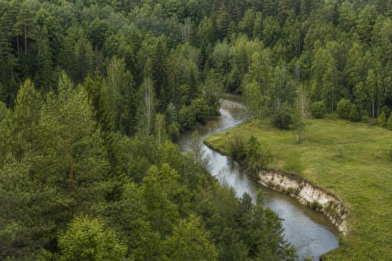
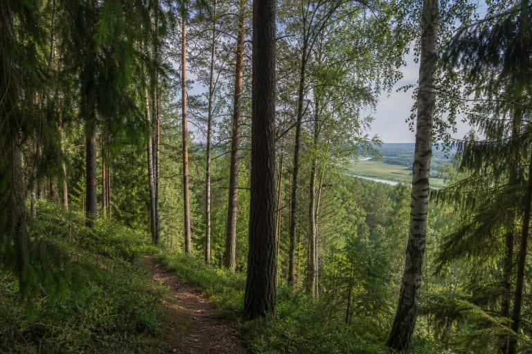
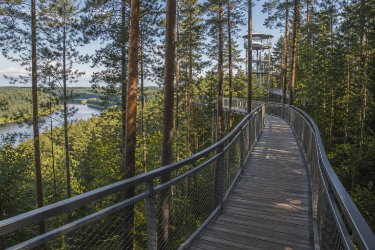
Storiai Nature Trail is in Anykščiai Regional Park near Storiai village. Opened in June 2023, it is more than a woodland walk: it introduces the history of the Struve Geodetic Arc's measurements and the Storiai triangulation point.
VLE records 265 stations in the historic chain, 18 of them in present-day Lithuania. UNESCO inscribed 34 surviving components in 2005; Lithuania's three are Gireišiai, Meškonys, and Paliepiukai. Storiai belongs to the wider arc network but is not one of those three UNESCO components.
The 1.2-kilometre route goes out and returns the same way
The official description gives a 1.2-kilometre compacted gravel and woodland trail in one direction. Visitors turn around at the end and return to the car by the same route, so plan for roughly twice the distance, not only 1.2 kilometres.
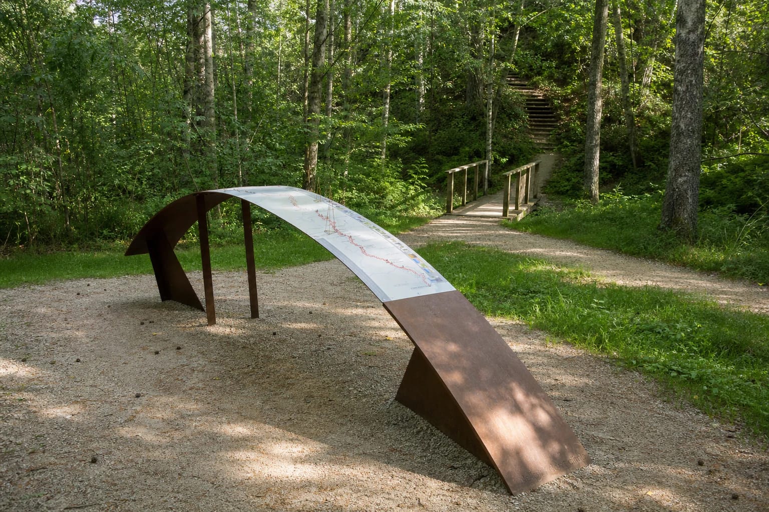
Timber bridges, benches, and interpretation surfaces line the route. One distinctive display curves like a geodetic arc; the panels explain the surveying method and offer QR codes and audio content.
Steep steps climb to Storiai Hill at the end
Steep wooden steps at the route's end lead to the highest Storiai Hill in Anykščiai Regional Park. They are an important part of the trail experience but require sure footing, especially in wet or cold weather.
The protected-areas directorate lists the site among disability-friendly visitor places and records a compacted car-park surface and compacted sections of trail. The steep steps, woodland ground, and bridges nevertheless mean that the full route is not equally passable for wheelchair users or visitors with greater mobility limitations.
Read the landscape as well as reaching the point
Storiai Trail connects woodland relief, a hill, and the history of measurement technology. The interpretation panels explain why nineteenth-century surveyors needed a long chain of measurements and how triangulation points related to one another.
The trail works best as a slow educational route: pause at the panels, notice the woodland ground, and take the steps carefully. The 1.2-kilometre figure does not include stops, photographs, or the return walk.
Assess the surface and season before setting out
After rain, gravel and woodland ground may be slippery, while moisture can collect on the bridges and wooden steps. Wear shoes with good grip and do not try to bypass the steps on unmarked slope paths.
Leave the car in the official parking area, do not drive off the road into the forest, and take rubbish with you. With children, stay close to the bridges and steps and allow enough time for a safe return.
The official site descriptions publish no separate admission fee or gate hours. Visit in daylight for easier reading and follow any temporary forestry, maintenance, or safety signs on arrival.