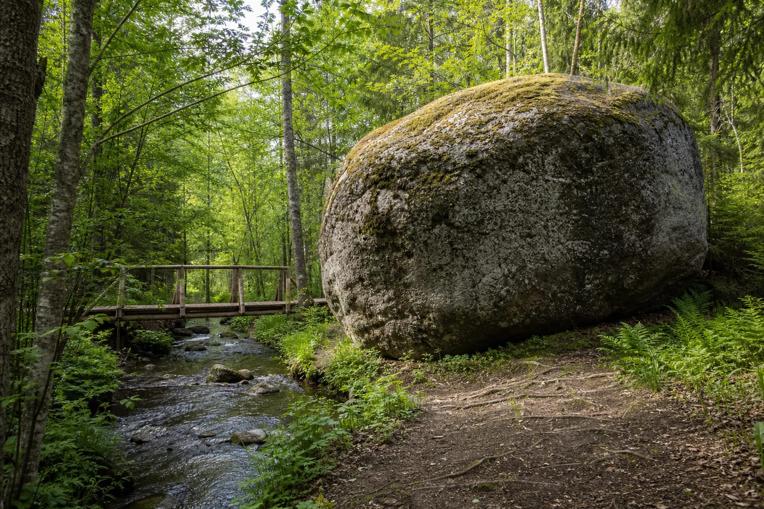
- Place
- Varnakalnis, Krekenava Eldership, Panevėžys District Municipality
- Region
- Krekenava Regional Park
- Type
- geological nature-heritage object - erratic boulder
- Address
- Linkava Hydrographic Reserve, at the end of Girinio Trail by the deer enclosure, Panevėžys District
- Coordinates
- 55.53300, 24.11800
- Visit duration
- depends on the Girinio Trail section chosen; allow time for the woodland approach, riverbank, and a quiet stop by the boulder
- Best time
- a dry, light-filled part of the year; woodland ground and the bank can be slippery after rain
Akmuo Rapolas, Rapolas Stone, Puntukas's brother
A large erratic on the Linkava bank
Rapolas Boulder rests on the right bank of the Linkava, within the Linkava Hydrographic Reserve and Krekenava Regional Park. It is not a museum specimen in a stone garden but a glacial nature monument that remains in its woodland and stream setting.
Saugoma.lt records the boulder as 2.55 m high, 5.14 m long, and 4.18 m wide. Its maximum horizontal circumference is 14.54 m. Those figures are difficult to picture from one photograph, so the riverbank, woodland path, and exposed body of the stone provide the best sense of scale on site.
The coordinate on this page marks the protected object, not a car park. Plan the arrival around the Girinio Trail parking area and the final approach on foot rather than trying to drive directly to the Linkava bank.
A rock carried here by the ice sheet
The official object description identifies the rock as blastoclastite, or cataclastic granite gneiss. That geological name is a reminder that the boulder is more than a rounded stone: deep-earth processes and glacial transport shaped its material and present form.
Like Lithuania's other glacial erratics, Rapolas Boulder was carried here by an ice sheet from Fennoscandia. In the Krekenava landscape it is a tangible sign of the last glaciation, a massive body set within a much younger stream-valley and woodland view.
Look for changes in surface texture, rounding, and the way mosses and lichens meet the woodland light, rather than invented carvings or legendary marks. Do not chip, scrape, or remove any part of the protected boulder.
How the boulder became Rapolas
The boulder acquired the name Rapolas in the 20th century. Saugoma.lt explains that Rapolas was probably a settler and landholder on a nearby homestead established around Krekenava, and that the place-name is associated with him. This is a local name history, not a confirmed ancient cult story.
Because of its impressive size, local people also call it Puntukas's brother. The comparison conveys the boulder's place in local memory, but it does not mean that the two stones are geologically related or have the same dimensions.
The site can be read in two layers: as a precisely described geological object and as a landscape place given a person's name. Both remain interesting when the local comparison does not replace the verified geological facts.
Finding Rapolas Boulder from Girinio Trail
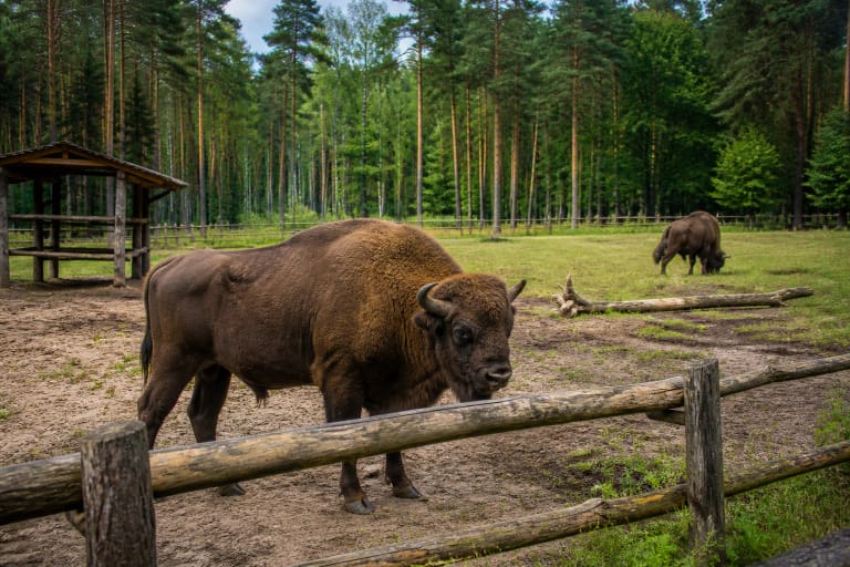
Saugoma.lt gives a clear landmark: at the end of Girinio Trail, by the deer enclosure, turn right onto the approach road to reach Rapolas Boulder. Leave the car at the Girinio Trail parking area and walk the final section.
That instruction matters more than trying to find a convenient road directly beside the stone. Woodland roads can be uneven, and a stream bank is not an urban pavement. Download a map or save the official object point before leaving reception, since mobile signal can vary in the forest.
The trail, deer enclosure, and boulder are close to one another but are not one attraction with one infrastructure standard. The condition of signs, parking, the enclosure, and the bank may be managed separately, so follow the newest signs on site.
Stream, woodland, and the boulder's scale
The boulder is set not in an open square but where Linkava water meets the woods. A darker stream valley, leafy bank, pines, and natural ground make it part of the landscape rather than a one-minute photographic backdrop.
Slow down near the bank and keep away from the wetter edge. Water, roots, loose stones, and mud can change the stability of the approach even within one season. Do not block narrow passages, wade into the stream, or move natural material along the bank.
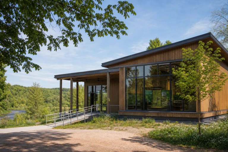
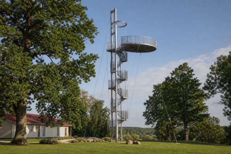
This stop works best as part of a wider Krekenava Regional Park day: the boulder offers the small scale of the Linkava valley, while the observation tower, visitor centre, and other park sites show how it belongs to the protected area's larger landscape.
Visiting a nature monument responsibly
The object description says that Rapolas Boulder is not adapted for visitors with mobility disabilities. This concerns not only the stone itself but also the natural approach from the parking area: assess the woodland road, slopes, and bank against individual needs before travelling.
Do not climb the boulder, scratch its surface, collect mosses or lichens, or light a fire beside the stream. Leave the car in the designated parking area and take rubbish away. The value of a nature monument is its place and integrity, not its use as a prop.
The checked official object descriptions publish no separate ticket or box-office hours, but daylight is the safest choice for a woodland and waterside visit. Check protected-area notices again before setting out for temporary access or visiting restrictions.