- Place
- Oreliai, Krekenava Eldership, Panevėžys District Municipality
- Region
- Krekenava Regional Park
- Type
- 0.5 km educational and interpretive woodland trail
- Address
- Varnakalnis Forest, beside the Linkava, Krekenava forest district, Panevėžys District
- Coordinates
- 55.53300, 24.11600
- Visit duration
- about an hour with the five stops, the Girinis shelter, and the lookout stop
- Best time
- late spring to early autumn, when the forest stations are easy to read and the natural tread is drier
Girinis educational trail, Girinio takas
Krekenava's Girinis Trail is a short forest circuit
This Girinis Trail is in Krekenava Regional Park, in Varnakalnis Forest beside the Linkava. It is about 0.5 km long, so this is a compact interpretive loop whose value lies in its learning stops rather than its mileage.
The name can cause confusion because Lithuania has another Girinis Trail in Marcinkonys. The Krekenava route is identified by Varnakalnis Forest, the Linkava valley, its timber entrance, and its five-station educational structure.
The route begins by the entrance gate, and its natural woodland tread immediately moves visitors from the parking area into trees, leaf litter, and stream-valley habitat. Walk the short circuit slowly enough for the stations to become observations rather than passing signs.
Five stations teach visitors how to read a forest
The official record names five themes: tree species most common in Lithuanian forests, forest layers, forest regeneration and protection of young plantings, thinning and sanitary felling, and the main types of forest felling with timber measurement.
This is more than a tree-identification path. The stations explain how a forest has high and low layers, how it is renewed, how young trees are protected, and why forestry separates different purposes for cutting.
Some stops introduce wood samples and ways to measure the volume of a standing or felled tree. That practical angle suits children and educational groups, but use any on-site equipment only as its instructions intend.
The Girinis shelter and the Linkava lookout
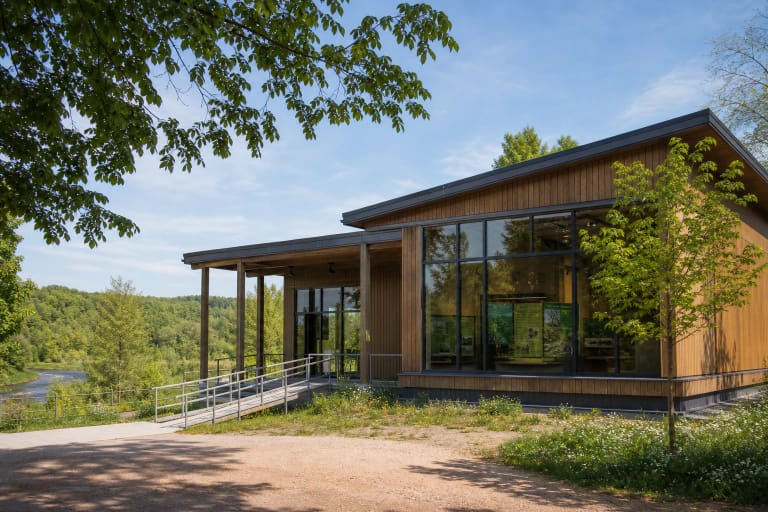
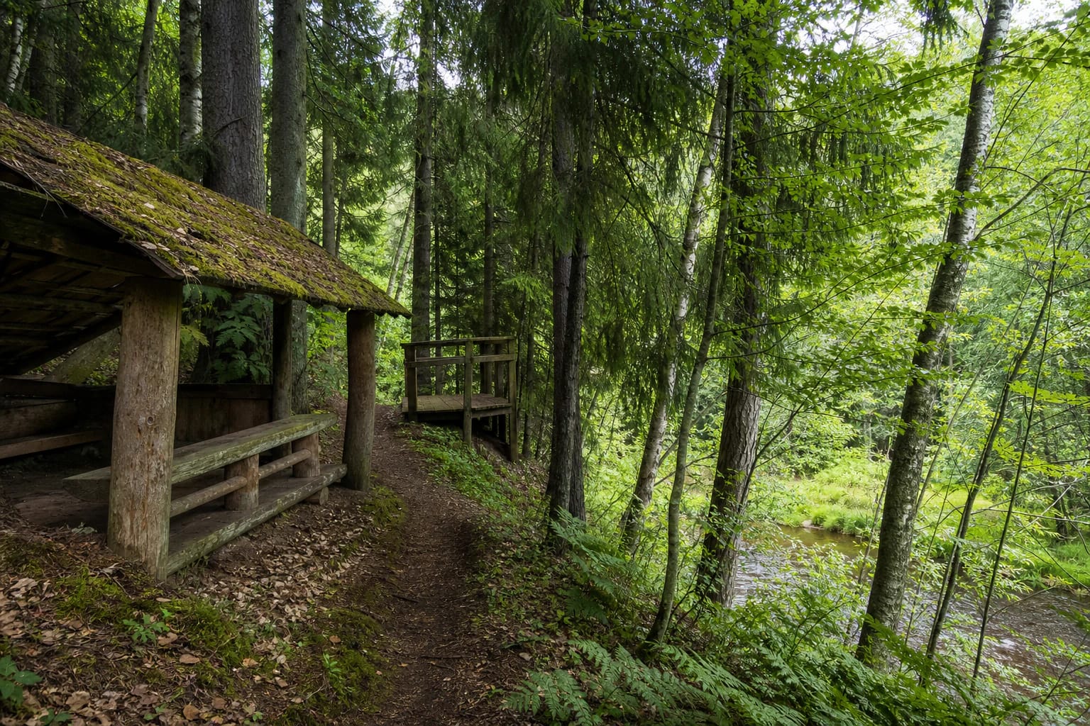
A small Girinis house and shelter stand at the end of the trail. Saugoma.lt says it displays photographs of forest animals and birds, drawings by young visitors, and creative work. It is a modest station that extends the trail's education and local character, not a large visitor centre.
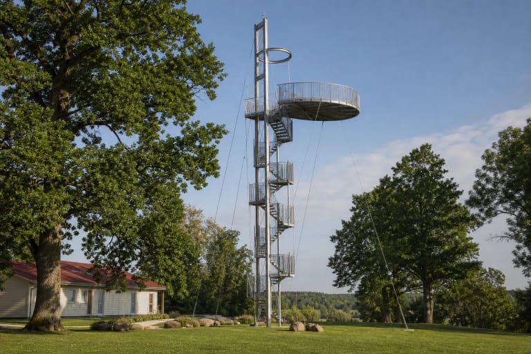
A lookout tower opens onto the Linkava valley and its slope. The trail experience briefly expands here: after following trunks, ground cover, and woodland shade, visitors can see the terrain shaped by water.
Benches are placed along the route, and a fireplace is mentioned in the valley. This is woodland infrastructure, so check its condition, safety, and permitted use on the day; light a fire only where signs and current rules allow it.
The Linkava woodland is a living teaching aid
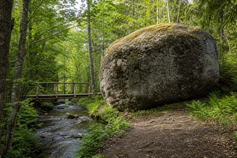
Girinis Trail follows the Linkava, giving its forest lesson a valley dimension. Damper bank conditions, natural ground, spruce, pine, birch, and other deciduous trees create different settings to compare from one station to the next.
Notice changes in the forest layers, trunk age, and the amount of light beneath the canopy. Spring makes ground-cover and bird activity easier to notice, summer closes the canopy, and autumn brings colour and fungi. No particular animal or plant sighting is guaranteed.
The trail also explains human care: protection from browsing animals, planting and regeneration, and timber use. It is a useful place to show that a protected landscape is not an absence of human work but a responsible relationship with forest processes.
Arriving in Varnakalnis Forest
Girinis Trail is beside the Krekenava forest district in Varnakalnis Forest, near Oreliai in Panevėžys District. The practical arrival landmark is the trail gate and nearby parking area; the coordinate here marks the trail site, not the centre of the whole regional park.
Leave the car in the designated place and walk towards the gate. A map pin is not a map of the complete half-kilometre loop, so first-time visitors should save the location in advance and expect a natural, uneven route near the Linkava valley.
Saugoma.lt says that the trail is not adapted for visitors with mobility disabilities. Even if the entrance can be reached by car, natural ground, slopes, and access to the lookout may not meet individual accessibility needs.
A short trail still needs woodland rules
Half a kilometre does not make this an urban park. Stay on the existing path, protect the stations, leave the forest floor undisturbed, and do not remove wood samples or other objects from the surroundings. Keep dogs according to protected-area rules and observe wildlife quietly.
After rain, natural ground, timber steps, or the valley edge can be slippery. Daylight makes the panels easier to read, helps visitors reach the lookout safely, and leaves time to return from the water. Check temporary trail or forest notices before travelling.
The checked official trail descriptions publish no separate ticket or box-office hours. That is not a promise that every station, lookout, shelter, or fireplace will always be in the same condition: follow current on-site information and leave the forest as you found it.