- Place
- Panevėžys District Municipality
- Region
- Aukštaitija
- Type
- remains of an approximately 50-metre-long historic watermill dam
- Address
- Slabada village, Krekenava eldership, Panevėžys District
- Coordinates
- 55.55848, 24.11440
- Visit duration
- 30-60 minutes; up to 2 hours with the recreation area and a Nevėžis Valley walk
- Best time
- from late spring to autumn in daylight; keep well away from the water after heavy rain and during snowmelt
Slabada Mill Dam, Slabada Weir, Former Slabada Watermill Remains
What you actually see
No picturesque mill building or waterwheel survives at Slabada. The principal feature is a low, irregular weir crossing the Nevėžis. Water is calmer immediately upstream, then foams and accelerates as it passes over stone, timber, and concrete.
Fragments of the former mill foundations remain beside it on the right bank. They are easy to miss if you concentrate only on the band of white water. Read the place as one system: the dam controlled water level and direction, while the bank-side structure marks where the river's energy was transferred to the mill.
The nineteenth-century watermill
A guide to Nevėžis-area tourist routes published by Panevėžys District Municipality dates the Slabada mill to the nineteenth century. It gives no exact construction year, so describing the remains as more than a century old is safer than assigning a precise date to the lost building.
Watermills were integral to local economies. A weir raised and directed the water, whose movement powered machinery connected to millstones or other equipment. The production building at Slabada disappeared, but its hydraulic component outlasted it and still makes the former purpose legible.
Boulders, oak timbers, and concrete
Regional-park information describes a structure formed from boulders and oak logs, later strengthened with concrete. That combination explains its irregular surface: this is not a single modern reinforced-concrete wall.
The official municipal route guide gives the dam's length as approximately 50 metres. It also notes that water is eroding the structure and flows mainly along the right side of the channel. Both the fabric and the path of the water can change, so treat it as an ageing river structure rather than a stable footbridge.
Using the correct public approach
The Google Maps point marks the dam itself, but navigation can suggest an unsuitable lane through private property. Local reporting has documented visitors meeting barriers on one side of the river even though public recreation infrastructure is available on the opposite bank.
Driving from Krekenava towards Naujamiestis, look for the public approach roughly one kilometre beyond the regional park visitor centre. Pass an old red-brick house, then after about 100 metres look for the parking area and footpath leading towards the dam. Follow signs on site, do not bypass barriers, and never cut through residential yards.
Safety and visit planning
View the weir and fast water only from the bank and designated recreation area. Do not step onto wet boulders or concrete, wade into the current, or swim near the drop. Even a low weir can create a powerful recirculating current, while flow and bank conditions change quickly after rain.
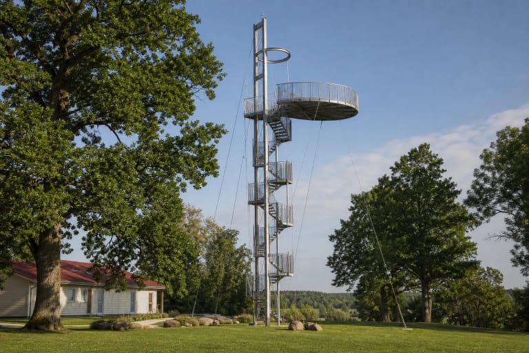
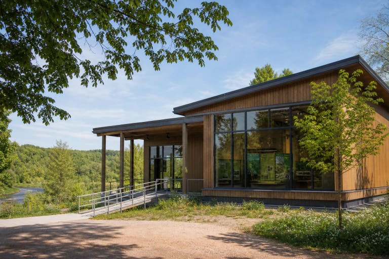
There is no admission fee or fixed opening time. Allow 30-60 minutes for the dam and foundation fragments, or combine it with Krekenava Observation Tower and the visitor centre. Google Maps showed 4.5 out of 5 from 198 reviews on 27 July 2026; these figures change over time.