- Place
- Vilnius City Municipality
- Region
- Vilnius
- Type
- an urban erosion-hills landscape reserve
- Address
- Panerių Forest, Paneriai, Naujininkai, and Vilkpėdė elderships, Vilnius
- Coordinates
- 54.64400, 25.21500
- Visit duration
- 2-4 hours for a chosen woodland route; longer if you combine nature with Panerių cultural heritage
- Best time
- April to October for trails; early spring and late autumn for relief and ravines
Panerių Landscape Reserve, Panerių Erosion Hills Reserve, Panerių Forest Reserve
One of Vilnius's largest landscape reserves
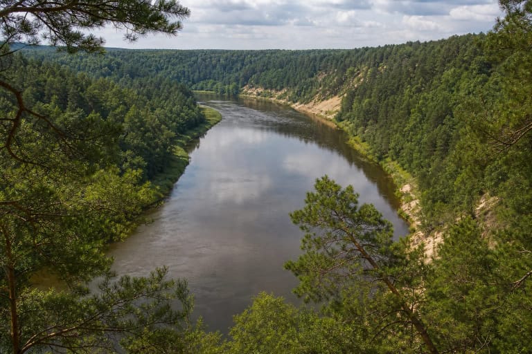
Panerių Erosion Hills Landscape Reserve lies in Vilnius City Municipality, across Paneriai, Naujininkai, and Vilkpėdė elderships, in Panerių Forest. The Pavilniai and Verkiai Regional Parks Directorate describes it as a landscape on the left side of the Neris Valley between Žemieji Paneriai, Aukštieji Paneriai, Užusienis, Kirtimai, and Gariūnai. It was established on 29 May 1996.
The reserve covers about 7.9 square kilometres, or roughly 790 hectares. The map point is a representative centre of the reserve, not one entrance, car park, or the start of the entire Panerių Nature Trail. Plan your route around a particular purpose: woodland relief, a geological feature, or cultural heritage.
Erosion hills and living habitats
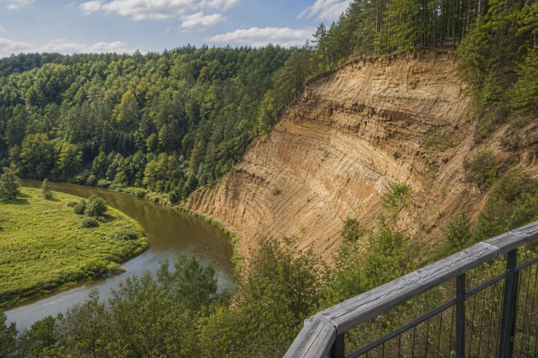
The reserve was created to protect the erosion hills in the Neris sub-valley zone. Its surface is strongly rolling and cut by ravines and old erosion channels. Deciduous woodland and spruce grow on lower hill surfaces, while higher ground toward Aukštieji Paneriai becomes drier pine forest. This is not one uniform woodland, but a mosaic of habitats with different moisture and elevation.
The Directorate highlights habitats of rare plants including dark-leaved helleborine, green-winged orchid, and field garlic. Near Gariūnai, a suffosion circus is protected as a geological natural monument. These places are valuable not because visitors must cross every slope, but because they show how water and soil shaped the city's edge.
Panerių Nature Trail and woodland routes
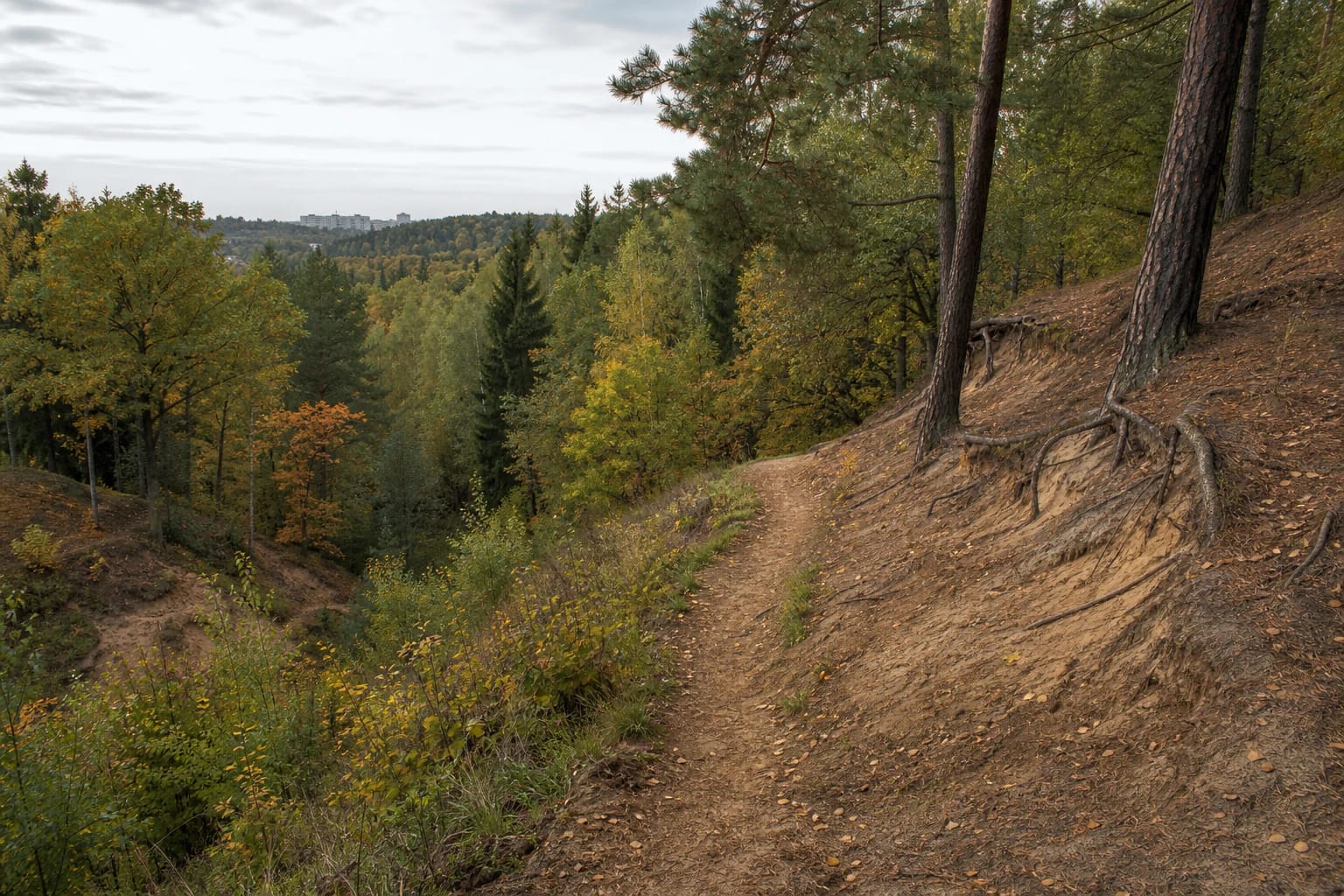
The Pavilniai and Verkiai Directorate highlights Panerių Nature Trail on its reserve page. Visitors encounter hill ridges, ravines, woodland roads, and cultural-heritage references, but one trail name does not describe all of the nearly 790-hectare territory. Save the latest route map before setting out and choose the section you can safely complete in the time available.
Some woodland paths cross uneven, sandy, or root-covered ground. Ravine bottoms can be slippery after rain, while the hill ridges change elevation quickly. Slow walking and a route chosen in advance matter more here than trying to see every marked point in one day.
Gariūnai Circus, the tunnel, and the old road
The suffosion circus near Gariūnai on the northern side of the reserve is a geological natural monument. It makes sense only in the wider context of the erosion hills: the hollows and slopes are not decoration, but traces of the relationship between water and soil.
The reserve also protects cultural-heritage sites: the disused Aukštieji Paneriai railway tunnel, a section of the old Vilnius-Kaunas road, the area around the Panerių battle site and chapel, and Panerių and Gariūnai hillforts. Visit natural and historical sites respectfully, keeping them within their local memory and protection requirements.
The 2026 planning change and responsible visiting
In 2026, Vilnius City Municipality published a special-plan project. It proposes expanding the reserve into Panerių Forest areas with European Community habitat sites, refining the boundaries, and adding protection and management rules. This is planning-project information, not a claim that new boundaries have already taken effect, so check the municipality's latest status before a longer visit.
Stay on marked trails, do not climb unmarked slopes, damage ravines, or create new shortcuts. Not every heritage site is arranged as a viewing platform, so protect the terrain, avoid dangerous excavations, and follow local signs.