- Place
- Lazdynai Eldership, Vilnius City Municipality
- Region
- Vilnius
- Type
- forest park by the Neris with walking routes and traces of local history
- Address
- Near Jonažolių St. 10, Vilnius
- Coordinates
- 54.65506, 25.19541
- Visit duration
- 2-4 hours for a chosen 6-8 km route; allow at least 1 hour for a shorter walk
- Best time
- April-October in daylight; use grippy footwear after rain and avoid the forest during storms
Bukčiai Forest
Bukčiai: a forest park in a Neris bend
Bukčiai Forest Park is in Vilnius's Lazdynai Eldership, beside a bend of the Neris and near Lazdynėliai. Access near Jonažolių St. 10 is a useful landmark, and the park's official map marks the family and riverside route start at 54.655059, 25.195408. The large woodland has no single gate, so use the separately marked start for a different route.
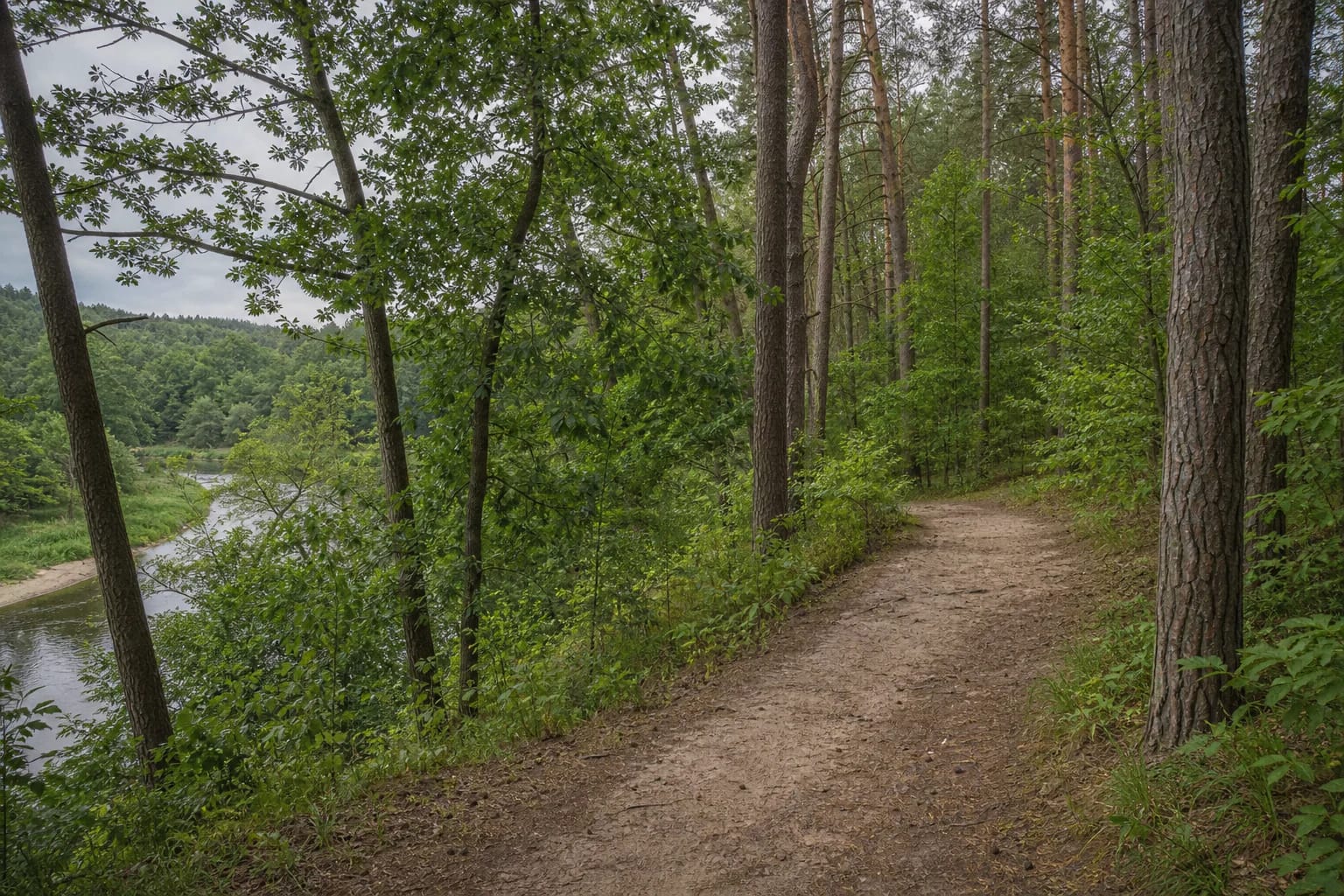
Bukčiai feels more like a natural urban woodland than a formal central park. Sandy and leafy paths run among pines and deciduous trees, with some ground falling towards the Neris. The river is an important landscape feature, but the riverbank sections are not bathing infrastructure.
Three route choices
The Bukčiai Forest Park website presents three walks with different characters. The family option is 6 km on wider paths to a children's and leisure area in Bukčiai. The 7 km pet route is described as more varied, with both broad and winding paths leading to the Lazdynėliai dog trail.
The longest option is 8 km, following winding paths along the riverbank to the old Bukčiai pedestrian bridge and requiring more effort and attention. These distances help with route choice, but they do not promise uniform surfaces or equal difficulty around the entire loop. Save the chosen route map before setting out.
After rain, sand, roots, and slope edges can be slippery, while strong winds can quickly make forest conditions unsafe. Wear shoes with good grip, leave time to return, and do not cut across steep slopes or wet ground.
The Neris bank and woodland terrain
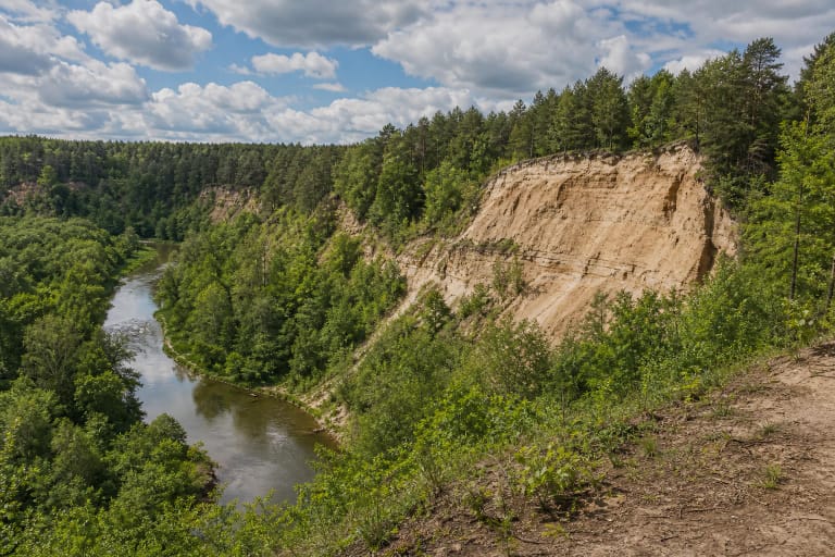
Closer to the Neris, the park changes character: water appears through gaps in the trees, and the winding river explains the relationship between the place and its landscape. In daylight, the walk moves between pine forest, deciduous stands, and more open riverbank views.
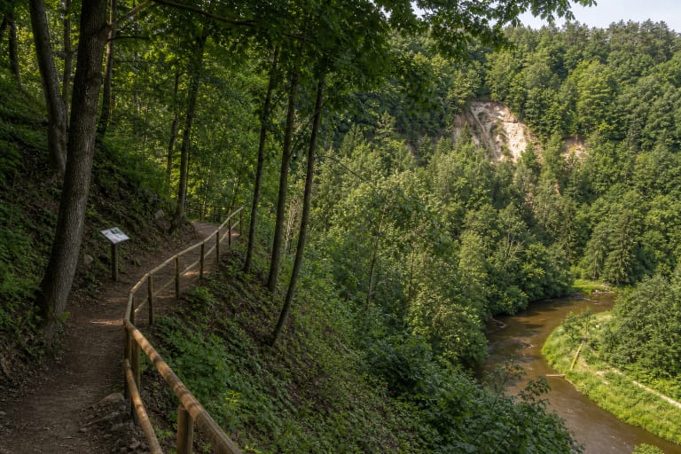
In places the river lies below the trail, so descend only where the route is clear and stable. Do not walk onto wet banks, wade, or treat the river as a safe swimming place. Water level, current, and bank conditions depend on weather and season.
Military and industrial traces
In the forest, traces remain of a shooting range built by the Polish army between the wars: firing positions and target mounds. A roughly 10 m high and 50 m long embankment is associated with it. This is a twentieth-century military remnant, not an ancient hillfort.
Near Lazdynėliai, at the end of Lietaus Street, are the small Bukčiai Cemetery. The old Bukčiai pedestrian bridge is described nearby as a 1955-1957 structure designed by engineer Viktoras Ražaitis. It matters as a sign of Vilnius's industrial and engineering history, but should not be treated as a usable pedestrian crossing.
The story of the former Buchta brickworks adds another layer to the Bukčiai area: local clay was used for bricks, and surviving buildings are associated with the surroundings of Bukčių St. 49. View such traces only from public, safe places; do not enter abandoned buildings or fenced land.
Check conditions before you go
Bukčiai is not a level, fully paved park. The 6 km family route is described as wider, but forest surfaces, roots, sand, and slopes can make it difficult for a stroller or wheelchair. If step-free access matters, test a short section near the chosen entrance and assess the surface on the day.
In 2025, Vilnius City Municipality announced selective sanitary cutting in Bukčiai Forest Park. After storms or tree-maintenance work, warnings and temporary closures may affect parts of the route. Follow local signs, walk in daylight, keep dogs under control according to current rules, and take rubbish with you.
Jonažolių Street is a useful arrival reference, but leave a car only in lawful places and keep access ways clear. Public transport stops and timetables change, so check them on the day of travel.