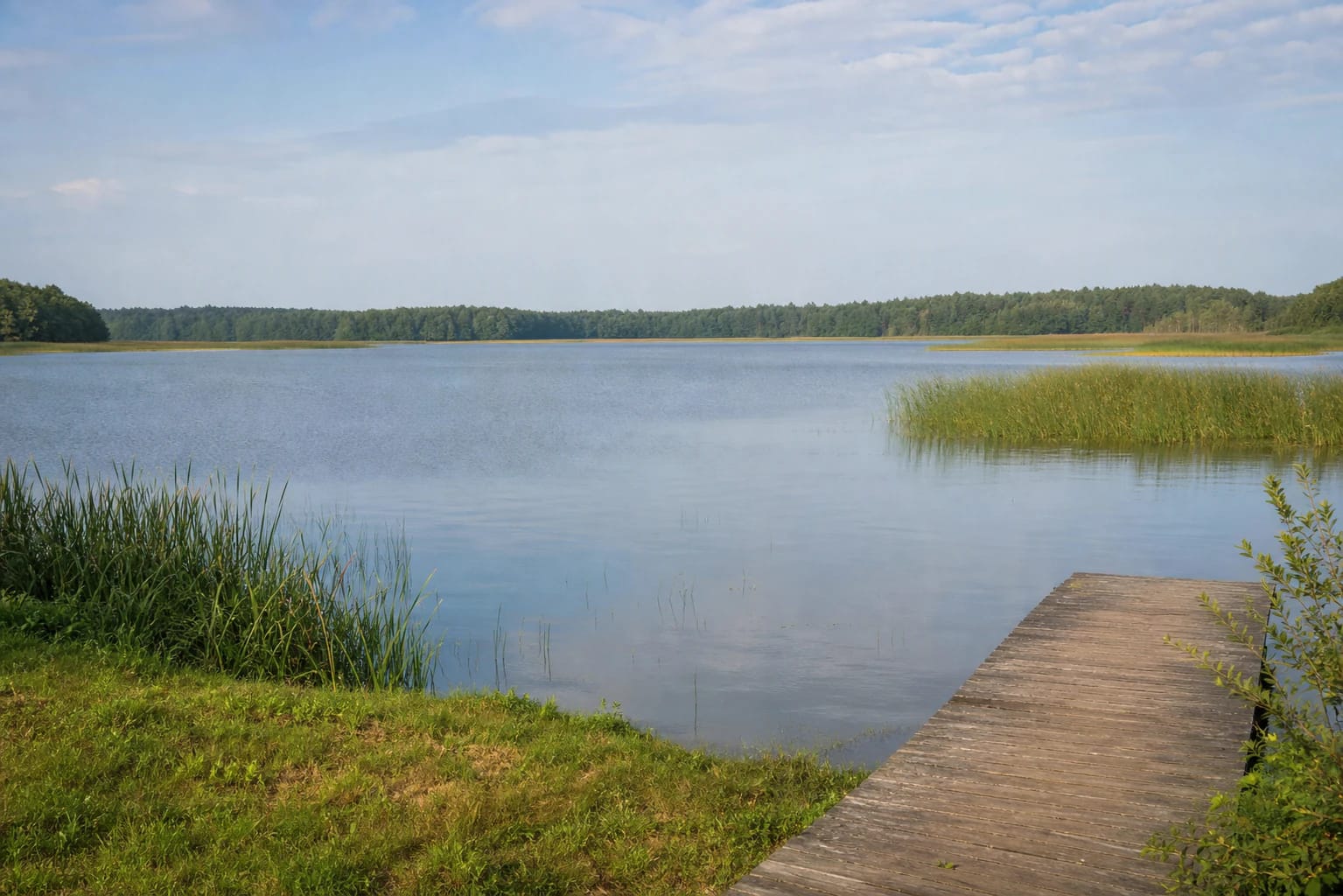
- Place
- Laukuva eldership, Šilalė District Municipality
- Region
- Samogitia
- Type
- a large shallow lake in Sietuva Landscape Reserve and Varniai Regional Park
- Address
- Lake Paršežeris, Laukuva eldership, Šilalė District
- Coordinates
- 55.64474, 22.29127
- Visit duration
- 1-3 hours for a chosen shore or the campsite area; longer when combined with Paršežeris Nature Trail
- Best time
- in daylight from late spring through autumn; check local signs and current advice before entering the water or planning water activities
Paršežeris, Paršežeris near Laukuva
The exact water body, not only the Paršežeris campsite
This page describes Lake Paršežeris itself - a lake in Šilalė District about 4 km northeast of Laukuva. The nearby Paršežeris campsite and the existing Paršežeris Nature Trail are separate visitor objects, so check that navigation has selected the lake rather than only a recreation-service listing.
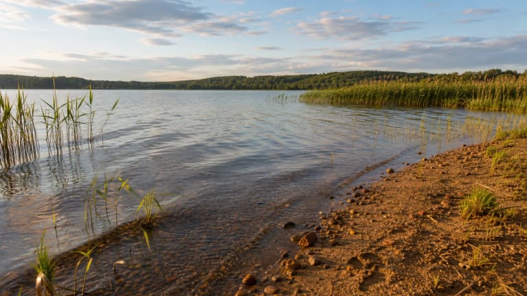
VLE describes the lake as 193.4 ha, 1.9 km long, and up to 1.1 km wide. The map point 55.644740, 22.291270 is a representative lake-centre coordinate, not an official beach, jetty, or single access point. Choose an approach according to local signs and lawful shore use.
A shallow glacial basin whose water travels to Lūkstas
The Paršežeris basin formed where a block of glacial ice lay, and terraces remain on its slopes. VLE gives a maximum depth of 4.4 m and an average depth of 2.6 m, so this is not a deep upland lake: its scale is expressed by the broad water surface, low banks, and wet margins.
The Raudis flows into the lake, while water leaves Paršežeris through the Sietuva stream towards Lake Lūkstas. Both belong to the Venta basin. This explains why the surrounding value lies not only in open water but also in the stream, wetlands, and cultural landscape between the lakes.
VLE gives the lake's flow-through rate as about 220 percent. That is a hydrological indicator of water exchange, not permission to wade anywhere or a guarantee that currents are uniform. Treat the water as a natural body with uneven shores and bottom conditions.
Wet shores are part of the lake's value
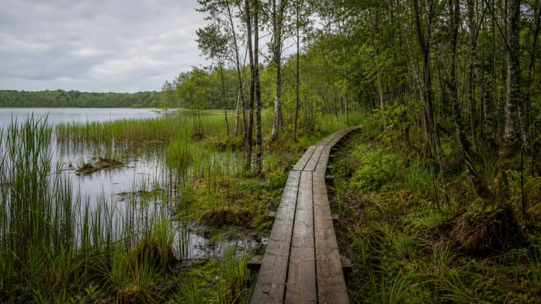
VLE gives the shoreline as 6.23 km and not very indented, but describes the banks as low and marshy. Ežeras fen lies southwest of Paršežeris, and Paršežeris raised bog lies to the east. Not every shore section is therefore suitable for access, walking, or photography.
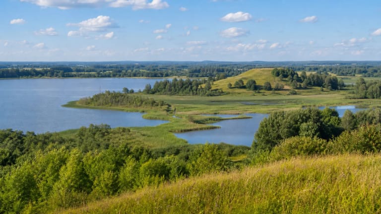
Paršežeris is in Sietuva Landscape Reserve and belongs to Varniai Regional Park. The 2023 Venta River Basin District plan describes this system as an old through-flowing lake-basin landscape with the natural Sietuva stream, lakeside fens, rare plants and animals, and cultural values.
A wetland is not a dry meadow that can be crossed at will. Do not enter saturated margins, disturb vegetation, drive across fields, or create shortcuts through the bog. The shore remains valuable precisely because it has not all been turned into a recreation lawn.
The 2023 water-status assessment is not today's bathing notice
The Environmental Protection Agency's 2023 Venta River Basin District management plan lists Paršežeris among protected-area lakes that do not meet good ecological status and marks the water body as poor. It identifies diffuse and point-source pollution as risk sources.
That classification is an ecological-status datum from a defined management-plan period, not a 2026 bathing-water test. No new current Paršežeris bathing notice was found in the sources checked, so the 2023 ecological classification cannot establish conditions for entering the water on a particular day.
Before swimming, wading, or planning water sports, check local signs and current municipal or public-health notices. Do not use the water when there is visible bloom, unusual colour, odour, surface film, or another warning, and keep children under direct supervision at the shore.
Visiting begins with choosing the right shore access
The lake-centre coordinate is for orientation, not a route to an entrance. There is a campsite and a nature-trail start in the Paršežeris area, but their services, gates, parking, and operating arrangements can change. Leave the car only in a lawful place, never on wet meadow or a root zone.
Allow 1-3 hours for a chosen shore or campsite area, and considerably longer when combining the visit with Paršežeris Nature Trail. A dry day from late spring through autumn is easier, while rain makes fen edges, grass, and natural approaches more slippery and difficult.
The lake is best experienced through its scale and quiet - from an open shore, a campsite approach, or an equipped trail section. Do not enter private land, light fires outside designated places, leave rubbish, or forget the basic rule: this lake-and-wetland system is more than a recreation platform.