- Place
- Balninkai eldership, Molėtai District Municipality
- Region
- Aukštaitija
- Type
- lake
- Address
- Alaušai, Balninkai eldership, Molėtai District
- Coordinates
- 55.30184, 25.09484
- Visit duration
- 1-3 hours, for a brief landscape stop or a longer day around the Molėtai lakes
- Best time
- late spring, summer, and early autumn; choose a calm or lightly breezy day for a broad water view
Alaušai, Alaušai Lake, Alaušų ežeras
A broad lake in western Molėtai District
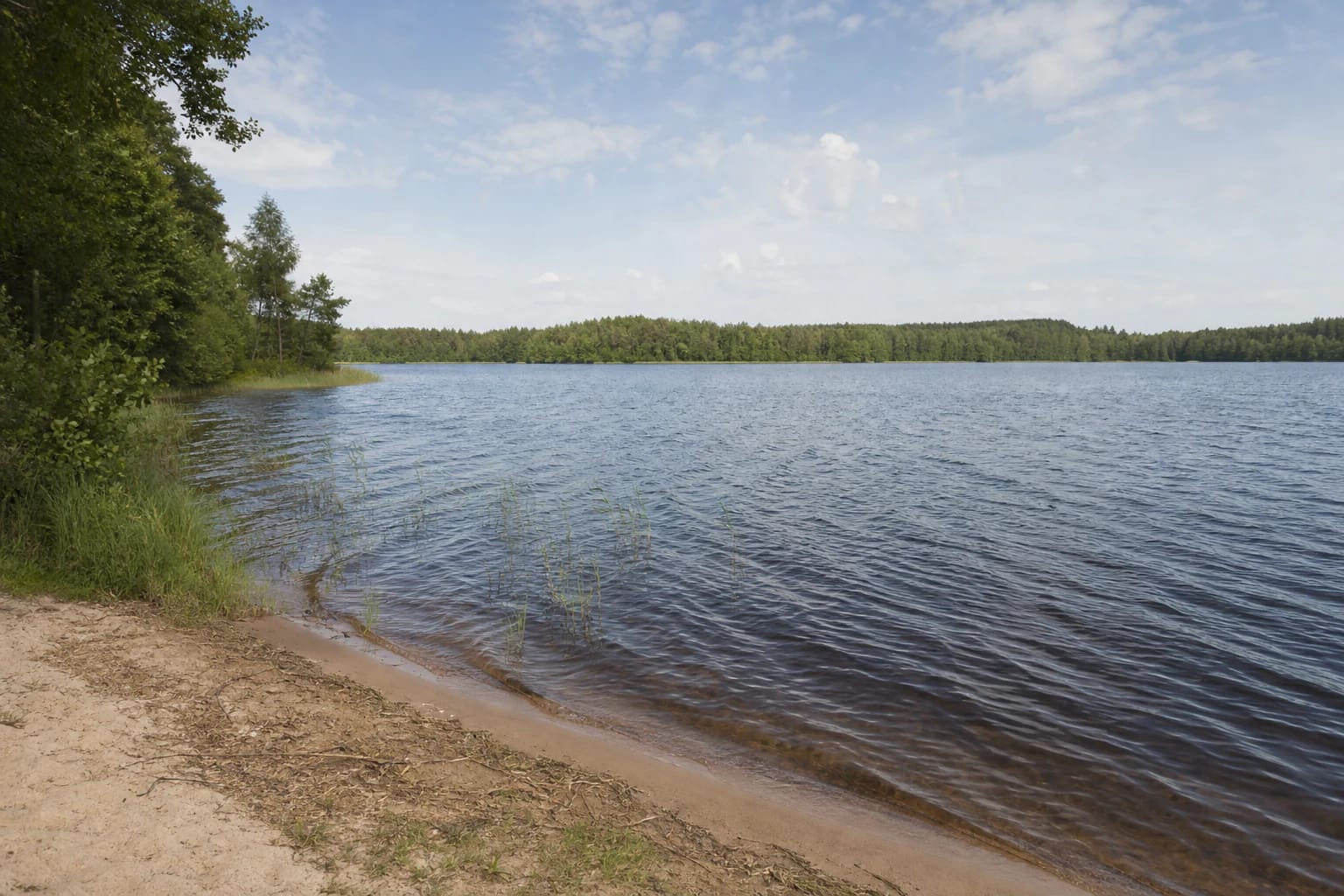
Lake Alaušai lies in western Molėtai District, near the boundaries with Anykščiai and Ukmergė districts. The lake runs from north-west to south-east, is about 3.5 kilometres long, and reaches 1.3 kilometres at its widest. That scale explains the feeling of open space rather than a small forest pond.
VLE gives the lake an area of 259 hectares, a surface elevation of 114.4 metres, a maximum depth of 16.2 metres, and an average depth of 6.2 metres. State water-body data can present a slightly different area because of the dataset and accounting date, so this guide follows the clearly stated encyclopaedia figure.
The coordinate 55.30183995, 25.09483785 is a representative point for the exact public place card. It distinguishes this plural Alaušai from the different Lake Alaušas in Utena District, but it does not identify a particular entrance, beach, or parking place.
High shores and sandy shallows shape the lake's mood
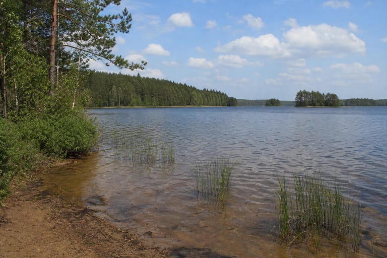
The shoreline of Alaušai is winding and about 9.1 kilometres long. Shores are high in many places, while the north-western end is marshier. One part of the bank may offer an open sandy water edge, while another requires respect for wet meadow and shoreline vegetation.
VLE describes the shallows as fairly broad and sandy except at the north-western end. This explains the lake's character, but it does not promise that every shore is comfortable for barefoot walking or suitable for swimming. After rain, sand, slopes, and grass may be slippery.
The lake has two islands with a combined area of about 0.5 hectares. They look different from different shores, and bays, reeds, or trees may hide them. The islands are not a reason to wade or paddle into an unfamiliar place; observe them from lawful shore access instead.
Balninkai is the eastern landmark, not a lake-wide promenade
Balninkai lies east of Lake Alaušai and is the clearest settlement landmark for planning a visit. The town gives the lake a useful local context, but the shore extends far beyond one town approach. Different access points may have different surfaces, roads, and lawful parking options.
This guide deliberately does not call the lake coordinate a beach. The public map card represents the water body, not one bathing place or infrastructure complex. Reach the water only by a public road, path, or other lawful access, do not cross private property, and do not use private jetties without permission.
The Ministry of Environment reminds visitors that people may pass along a shore freely, but must reach it lawfully. That matters at a large lake where an attractive view does not necessarily mean that a public road or car park is nearby.
Lake Alaušai belongs to the Plaštaka basin
Two small streams flow into Alaušai, and an outlet stream flows to Plaštaka in the Šventoji basin. This makes the lake part of a wider Aukštaitija water network rather than a closed basin. Its condition depends not only on what a visitor sees at the bank but also on the wider catchment.
VLE places the maximum depth of 16.2 metres at the southern shore and describes a marshier north-western end. Do not infer the whole lake bed from one stop: depth, wind, and vegetation vary between bays and shores.
Quiet matters here for more than photography. Avoid making noise at reed beds and do not drive across sensitive wet shores. If you find litter, take it with you; a large lake's banks are a shared test of visitor responsibility.
What to know before visiting Lake Alaušai
Alaušai suits a broad water view, quiet photography, and a day trip that combines Balninkai with other Molėtai sights. Allow roughly 1-3 hours for one stop, adjusting the time to the lawful access point, weather, and whether you want to see more than one part of the shore.
Before swimming, assess the day's water, lakebed, and weather conditions, and use only a clearly lawful and suitable shore. A large lake does not have uniformly developed banks, so an easy approach in one place says nothing about the safety or public status of the rest of the shoreline.
Bring water, comfortable shoes, and protection from sun and insects. Park only where permitted, do not step onto private jetties, and do not try to bypass wet or steep shores by car. The lake's breadth is best experienced slowly and without leaving a trace.