- Place
- Inturkė eldership, Molėtai District Municipality
- Region
- Labanoras Regional Park
- Type
- lake and Kertuojai Hydrographic Reserve in Labanoras Regional Park
- Address
- Lake Kertuojai, Inturkė eldership, Molėtai District
- Coordinates
- 55.18218, 25.61849
- Visit duration
- 1-3 hours, depending on the shore you choose, photography, and time to rest
- Best time
- late spring, summer, or early autumn; choose a calm day for a clearer view and follow protected-area rules
Kertuojai, Kertuojų ežeras, Kertojų ežeras
A large lake, but not a deep one, in the Labanoras lake district
Lake Kertuojai lies in Inturkė eldership, Molėtai District, within Labanoras Regional Park. The State Service for Protected Areas places it in the park's lake district, while VLE lists Kertuojai among the park's 285 lakes. This is not a small forest tarn: official water-body data gives an area of 545.2 hectares, so no single shore reveals the whole oval basin.
Kertuojai's size is balanced by its shallowness. A VSTT guide describes an average depth of about 2 metres, which helps the lake warm faster in spring than deep lakes. That explains its character, but it is not a promise of safe swimming: the bed, wind, and aquatic vegetation can differ from one shore to another.
The coordinate 55.18218, 25.61849 is a representative point near the lake centre, taken from a public geographic map. It helps locate the water body but does not lead to a particular entrance, beach, or legal parking place.
Two islands and wooded shores make a broad, wind-shaped view
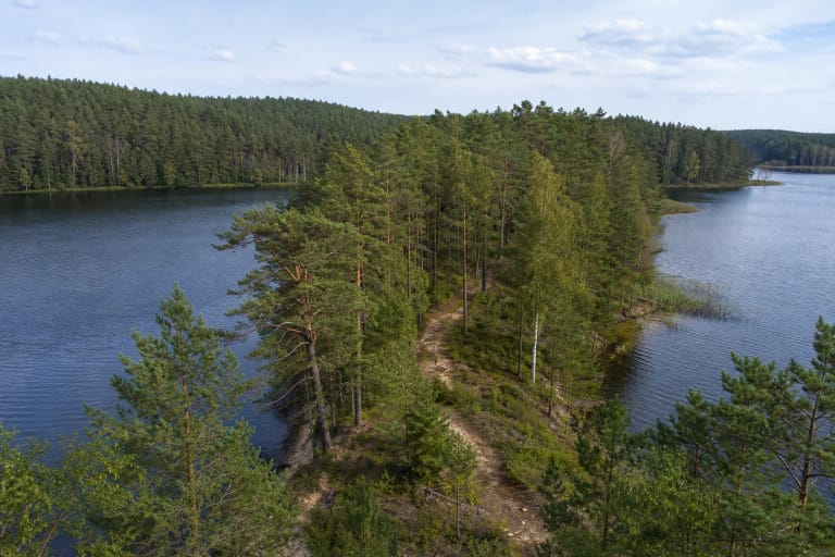
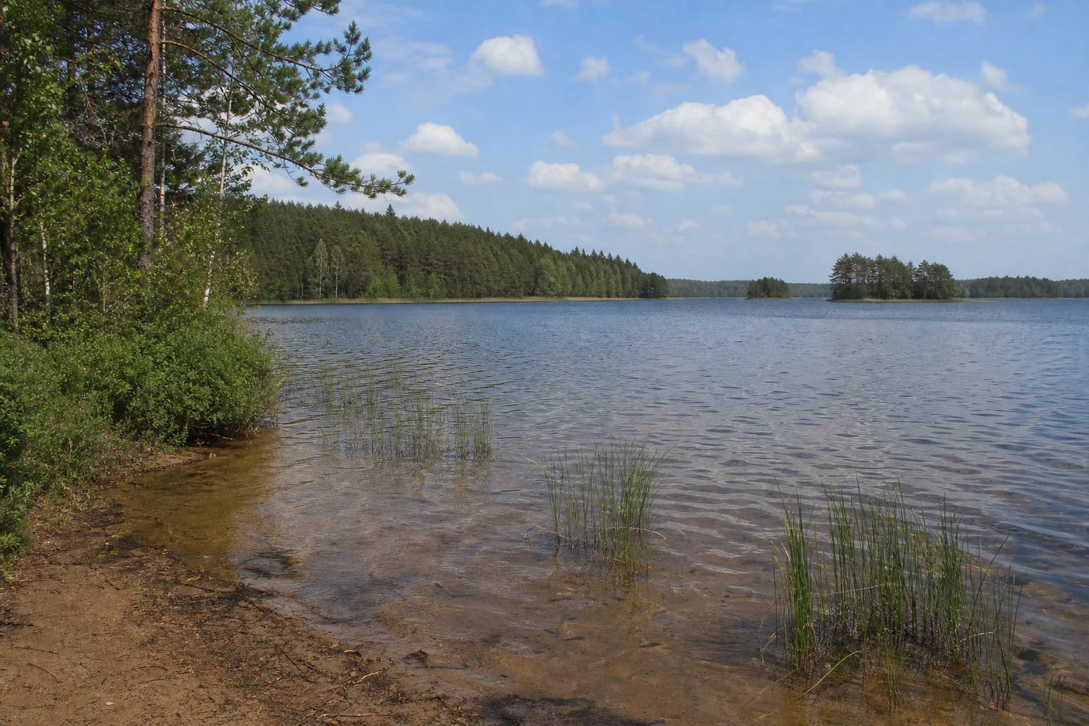
Public views of Kertuojai show an open lake: a low sandy or muddy shore, shallow water, reed clumps, and a dark forest belt of pines and deciduous trees on the far side. The shoreline is not a continuous urban promenade and does not have one uniform surface around the whole lake.
VLE and local descriptions record two islands in Kertuojai. From one shore they may look like wooded points of land, and trees or reeds can hide one of them. Step back from overgrown edges for a photograph, but do not push through reeds, wet meadow, or private land.
Kertuojos Hillfort stands in the eastern lake surroundings, adding cultural heritage to the natural route. It is a separate site, not a lakeside viewing platform, so plan its access independently.
The Kertuojai Hydrographic Reserve has a specific visiting regime
Lake Kertuojai lies in the Kertuojai Hydrographic Reserve within Labanoras Regional Park. The protected landscape concerns more than the water surface: it includes the relationship between the lake, streams, shores, and forest. A convenient-looking bank is therefore not permission to drive over a meadow, park on the shore, or camp anywhere you choose.
The State Service for Protected Areas says that visitors must follow park regulations, information signs, and the rules of the functional zones. Because the shoreline is long, a shelter or fire site seen at one point does not prove that the same facility exists on another shore. Check current signs and directorate information before travelling.
Read the Kertuojai landscape from existing roads and lawful access points. Do not leave litter, damage the shore, drive a vehicle into the water, or disturb birds and other wildlife in the protected lake district.
Boating is allowed only under the Environmental Protection Department's conditions
The Environmental Protection Department's memorandum dated 30 June 2026 says that non-motorised craft and craft with an electric motor may operate on Kertuojai throughout the boating season. Petrol engines are prohibited. The distinction matters both to anglers and to visitors planning a canoe or boat trip.
Under the same official page, the boating season runs from ice melt until ice cover forms. If stable ice cover does not form, the stated period is from 1 April to 15 March. This is not an invitation to launch in any weather: a shallow lake can become exposed to wind quickly, while reeds and islands require careful navigation.
Find a lawful launch point and check signs before putting a craft on the water. This page does not name a particular slipway because the lake's representative map point does not confirm one.
Kertuojos Stream connects the lake to Labanoras's wider water system
Lake Kertuojai belongs to the Žeimena basin. The VSTT guide describes Kertuojos Stream as a link between Kertuojai and the Black and White Lakajai lakes. This makes Kertuojai part of a connected Labanoras lake district rather than an isolated blue shape on a map.
The guide also emphasises that Kertuojai is shallow and warms quickly in spring, while fish use Kertuojos Stream to move between the lakes for spawning. This is an ecological process to observe without disturbing the shore, not a reason to approach animals or alter the stream channel.
Because the lake is hydrologically connected, its condition depends on the wider system. Do not enter marked sensitive areas or assume that water tourism overrides nature-protection requirements.
How to plan a visit to Lake Kertuojai
Kertuojai suits quiet landscape watching, photography, and a longer day in Labanoras. Allow 1-3 hours, but base the timing on the shore you can lawfully reach, its conditions, and whether you also visit Kertuojos Hillfort rather than on an assumed single trail length.
After rain, a low shore may be muddy and reed margins slippery. Wear shoes that can get wet, stay off unfamiliar wet ground, and keep children well back from the water, especially where the bottom drops away unexpectedly.
Check the weather, road conditions, and protected-area notices before travelling, and leave the car only in a lawful place. The representative lake coordinate is not a guarantee of infrastructure, water quality, or safe access.