- Place
- Utena District Municipality
- Region
- Aukštaitija
- Type
- tunnel-valley lake
- Address
- Klykiai, Tauragnai Eldership, Utena District
- Coordinates
- 55.47099, 25.76278
- Visit duration
- 1-2 hours for a chosen shore and a quiet break; longer if combined with a Tauragnai-area itinerary
- Best time
- late spring to early autumn; check the latest water-quality information before swimming and choose a calm day
Klykio Lake
Klykių Lake lies beside Klykiai village near Tauragnai
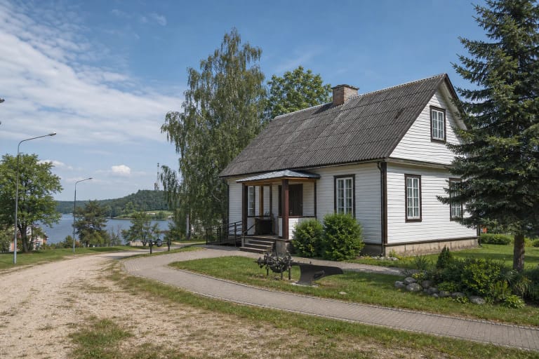
Klykių Lake is in Utena District Municipality, about 4 km north-west of Tauragnai, beside the Utena-Tauragnai road. The Encyclopedia of Lithuania describes it as Klykių Lake, while the Utena District Municipality places the recreation area by the lake in Klykiai village and Tauragnai Eldership.
The name is sometimes shortened to Klykio Lake, especially in municipal project texts, but this page uses the encyclopedic name Klykių Lake. The map point is a representative lake-area location, not a separate road, car-park, or single-entrance address.
A small surface area with considerable depth
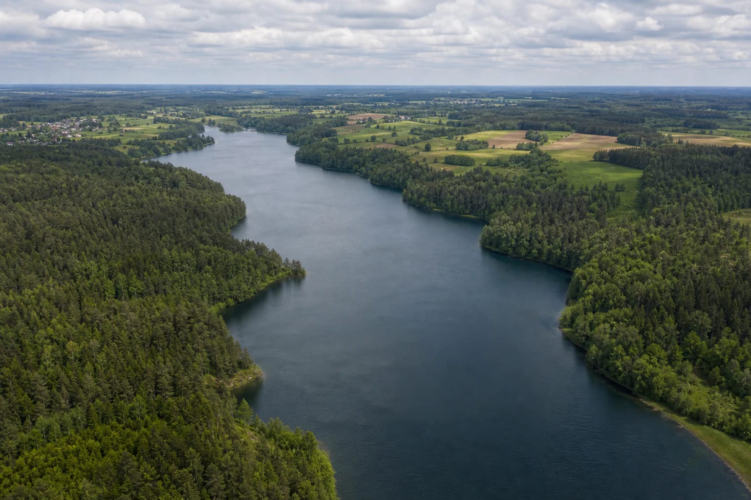
The lake covers 47 ha, measures 1.8 km from north-west to south-east, and reaches about 0.4 km at its widest point. Its surface elevation is 185.4 m, its maximum depth is 42.6 m in the centre, and its average depth is 14.3 m. Klykių Lake should not be judged by surface area alone: it is a narrow water body with a deeply cut basin.
The Encyclopedia of Lithuania identifies the lake as tunnel-valley in origin, gives its basin area as 1.9 km², and measures the shoreline at 4.3 km. This morphology helps explain the steeper banks and the changing character of individual shore sections.
High shores and a wooded south-eastern edge
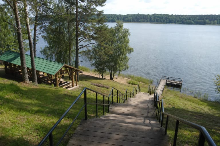
Klykių Lake has high, steep shores that are eroding in many places, so visitors should not descend an unexamined slope simply to reach the water or a viewpoint. The south-eastern shore is wooded; elsewhere the lake views change between village fields, homesteads, and the road setting.
From the air, the lake's narrow form, winding bays, and wooded headlands are especially clear. Overlapping shorelines can make some headlands look detached from a distance, so the landscape is best understood as a continuous, deeply indented shore.
A short water connection to Lake Politiškiai and the Žeimena basin
A roughly 10-metre stream flows from Klykių Lake into Lake Politiškiai to the south-east. The Encyclopedia of Lithuania places Klykių Lake in the Žeimena basin and gives its throughflow as about 8 percent. It is a small but clear hydrological link worth remembering when reading the region's connected lake landscape.
The outlet and slopes are not a fully interpreted hydrology trail. If you need a particular approach, follow local roads, signs, and private-property boundaries rather than relying only on the lake shape shown on a map.
The recreation area and 2026 bathing-water information
In its 2026 bathing-water information, Utena District Municipality lists the recreation area by Klykių Lake in Klykiai, Tauragnai Eldership. The municipality reports that samples taken from 32 bathing waters on 22 June 2026 met hygiene requirements, and the list includes the Klykių recreation area. This is the result for a specific sampling date, not a promise that water conditions will always remain suitable for swimming.
Before entering the water, assess that day's weather, water condition, local signs, and the municipality's latest notices. Children need constant supervision beside a deep lake, and visitors should keep a safe distance from steep or eroding banks.
What the planned shore improvements mean
A 2026 municipal project plans to adapt the Klykio Lake shore for visitors and establish a recreation area in Klykiai village. The wider project description mentions path and surface improvements, children's play spaces, jetties, observation decks, gazebos, changing cabins, portable toilets, tent areas, accessibility measures, and other small-scale infrastructure, but different sites will receive different elements.
The project runs from 4 February 2026 to 30 September 2027. Features listed in a project plan should therefore not be treated as already open: check whether the particular shore section is accessible, whether work is taking place, and which services are actually present on the day.