- Place
- Žygaičiai Eldership, Tauragė District Municipality
- Region
- Tauragė Region
- Type
- glacial lake
- Address
- Draudenių Lake, 3 km west of Žygaičiai, Tauragė District
- Coordinates
- 55.31061, 21.96962
- Visit duration
- 1-3 hours; allow longer for a picnic, swimming, or time on the water
- Best time
- a dry, bright day from May to September; check shoreline works and bathing information before travelling
Ežeras Draudenis, Draudenių Lake near Žygaičiai
Draudenių Lake is near Žygaičiai, and the map point is not a single entrance
Draudenių Lake lies in Tauragė District Municipality, about 3 km west of Žygaičiai. Draudeniai village is on the eastern shore, but the lake and its shores occupy a much wider area than one settlement point. The VLE coordinates mark the lake centre, not a gate, beach, or guaranteed parking place.
That distinction matters when planning a visit: the recreation shoreline and the boat-launch point are separate access areas, while the lake's shoreline is about 3.9 km long. Follow signs on arrival and park only where permitted. Seeing water on a map does not give permission to drive through a private yard, field, or reed bed.
A shallow glacial basin with low, marshy shores
The Encyclopaedia of Lithuania gives Draudenių Lake an area of 106.5 hectares, a length of 1.4 km from east to west, and a maximum width of about 1 km. The lake is oval, its surface lies at 51.7 metres above sea level, its maximum depth is 2.5 metres, and its average depth is 1.5 metres. Its basin formed when a block of glacial ice melted, so today's open, quiet view is a trace of glacial relief.
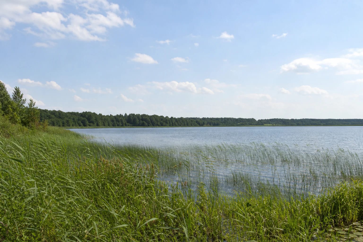
Most shores are low, marshy, and wooded, except for the eastern terrace. Real photographs show tall reeds, grassy water edges, a broad calm water surface, and a low woodland horizon. This landscape is closer to a shallow wetland lake than to a steep-sided resort, so footwear and respect for wet ground matter more than trying to reach the water everywhere.
The encyclopaedia also records that many water caltrops grew in the lake about 3,000 years ago. That is an ancient natural-history fact, not a promise that visitors will see the plant today. The present view is shaped most clearly by reed beds, woodland, shallow water, and open sky.
The shoreline is being renewed in stages, so plans must be separated from the present
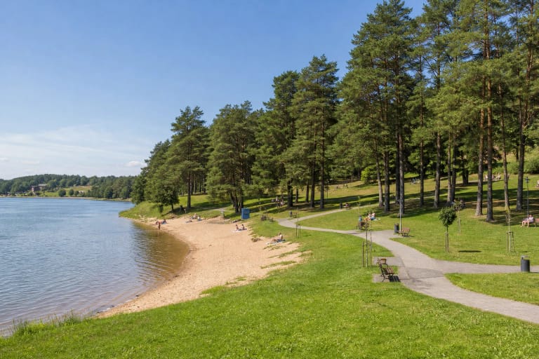
In an April 2026 update, Tauragė District Municipality said that about 5.3 hectares beside the lake were being renewed. The first stage had delivered a boat slip, access road, and information board, while the second stage was still working on parking, paths, play and exercise areas, a pier, a landing, and other elements.
The same municipal notice described a planned observation tower, paths towards the island, lighting, a borehole, sanitary facilities, and showers. These are the project's scope and progress, not a guarantee that every element will be operating, open, or complete on the day of your visit. Check the latest municipal information and on-site barriers before travelling.
The visitor experience can change quickly while the works continue: an access road, path, or beach section may be temporarily closed. Do not enter a building site or climb unfinished structures; use only the access area clearly marked for visitors.
The boat slip serves watercraft, not unrestricted access to the whole shore
In 2023 the municipality announced a boat-launch and recovery point in the northern part of the Draudenių Lake shoreline area. A gravel access road leads to it, and an information board sets out the rules for using the slip. It is a clearer place to launch or remove a small craft than an improvised drive across a shore meadow.
The municipality notes that the lake attracts people who enjoy water activities and fishing, but the slip does not itself authorise every kind of boating or long-term storage in the shared access. Read the local rules before launching a boat, kayak, or other craft, check the weather, and keep the approach clear.
Because the lake is shallow, the bed and entry conditions can vary with location and water level. Do not jump from an unmarked shore or pier, keep children close, and use appropriate safety equipment on the water. Reed beds and marshy edges are not convenient places for an improvised landing.
How to plan a visit to Draudenių Lake
Allow about an hour for a short waterside stop and landscape view, or 1-3 hours and more for a picnic, bathing, or time on the water. The lake is easiest to read on a bright, dry day, when the low woodland horizon and reed structure stand out; after rain, natural shore sections may be muddy.
The official updates checked do not publish one permanent opening time or a general lake ticket. That does not mean every recreation service operates around the clock: check beach, construction, sanitary-facility, and water-quality information separately.
Visit quietly, do not break through reed beds, leave no waste, and light fires only in an explicitly designated place. Protect other visitors' access, anglers' approach, and the wet shoreline habitat.