- Place
- Tauragė District Municipality
- Region
- Tauragė region
- Type
- a forest nature trail beside the natural Lylava stream in a hydrographic reserve
- Address
- Lylava Nature Trail trailhead, Pagramantis Regional Park, Tauragė District
- Coordinates
- 55.37900, 22.18300
- Visit duration
- 1-1.5 hours for the 1.9 km circuit with stops; longer after rain or when taking the slopes and bridges carefully
- Best time
- a drier late spring, summer, or early autumn day; bear's garlic appears in spring, while rain makes the natural path and slopes more slippery
Lylava Hydrographic Reserve Nature Trail, Lylava Stream Nature Trail, Lylava Trail in Pagramantis Regional Park
The newest official entry gives the route as 1.9 kilometres
The State Protected Areas Service Saugoma page presents Lylava Nature Trail as a visitor site in a hydrographic reserve. The same page gives 55.379, 22.183 for the trailhead and a length of 1.9 km. This guide uses that figure as primary because it appears in the current official object entry, and treats the point as the start rather than the centre of the route.
The regional directorate says the trail was established in 2004, while its description updated in 2023 still gives a length of 2.5 km. The sources do not explain whether the difference reflects a measurement method, route variant, or earlier alignment. Plan around the current 1.9 km figure, then use the on-site map and waymarks to judge the actual distance.
The route follows a natural stream, not a decorative channel
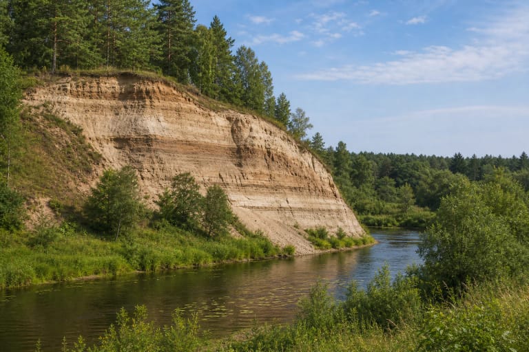
Saugoma says the trail winds along the unique and expressive banks of the Lylava stream. The small watercourse is the route's main orientation: in some places it is visible through the trees, while elsewhere a slope, roots, and ground vegetation conceal it.
The regional directorate describes Lylava as an approximately 9 km, largely unregulated tributary of the Jūra. The nature trail covers only one section. Do not turn the entire stream length into the trail length, and do not infer the condition of every other bank from this short route.
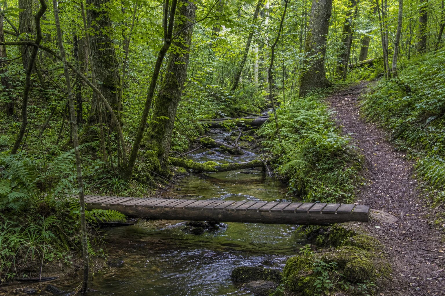
The valley is not a flat urban park. Sources and exact-place photographs show a natural forest path, simple wooden bridges, slopes, and wetter sections. After rain, the stream edge can become slick, and wet roots and mud can slow the walk considerably.
The hydrographic reserve is about habitat, not a guaranteed species display
Saugoma says the trail introduces a natural stream and key woodland habitats. This is a living, less-uniform forest with fallen trees, damp ground, and varied stream-valley relief. A key habitat is not an amenity zone, so observe it without leaving the path or collecting anything.
The official description lists uncommon plants including coralroot bittercress, fir clubmoss, meadow gladiolus, and wild garlic, together with abundant stands of ostrich fern. These facts describe reserve values, not a promise that every plant will be visible in every season or from the path edge.
The same account mentions uncommon Lithuanian woodpeckers: white-backed, green, grey-headed, and black woodpeckers. Treat that as a wildlife possibility rather than a guaranteed one-day checklist. Walk quietly, avoid loud speakers, and never approach holes or nests.
The natural surface and bridge condition matter more than the short kilometre count
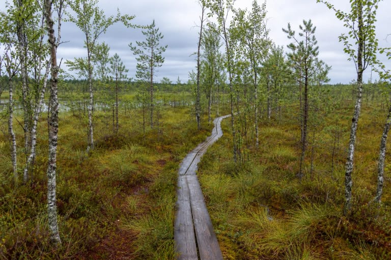
A short route is not automatically easy for everyone. Lylava's banks may include slopes, natural soil, roots, mud, and uneven crossings. Exact-place photographs show a narrow forest path, simple wooden bridges, and rolling ground rather than a continuous boardwalk or paved route.
Check footwear grip before setting out and choose a day when the stream valley is not saturated. Cross bridges one at a time, keep away from unprotected water edges, and do not climb fallen trees for a photograph. Small children and dogs need continuous adult control on the slopes.
The current Saugoma entry does not provide a reliable confirmation that the entire route is step-free or wheelchair accessible. The 1.9 km figure should therefore not be read as an accessibility promise: assess the surface, bridges, and slopes before committing to the circuit.
Arrival in the park valley and respect for the reserve's quiet
Use the 55.379, 22.183 point supplied by Saugoma and follow the trail plan and arrows on site. The official page provides a directions link but does not confirm a separate ticket, gate schedule, or continuously operating services. Do not block the access road, and leave the car only in a designated place.
Allow about 1-1.5 hours if you want to listen to the stream and pause at habitat features. Dry weather can make the walk faster, while spring mud, summer insects, autumn leaves, or a wet slope can change the real timing. Check the forecast and expect a slower route after heavy rain.
This is a reserve trail, not a place for fires, loud picnics, or collecting plants. Do not break branches, dig through the forest floor, pick uncommon plants, or let a dog roam uncontrolled. Lylava is most valuable when visitors leave the stream valley as they found it.