- Place
- Bubiai Eldership, Šiauliai District Municipality
- Region
- Šiauliai Region
- Type
- a large reservoir and waterscape beside Bubiai
- Address
- Bubiai, Šiauliai District, Lithuania
- Coordinates
- 55.88415, 23.14368
- Visit duration
- 1-3 hours; longer if you combine a beach stop with nearby Bubiai sites
- Best time
- May to September; drier, calmer weather is more convenient for the shore, while windy days demand extra care near the water
Šiauliai Sea, Bubiai Lagoon, Bubiai Reservoir
Bubiai Reservoir - the Šiauliai Sea near Bubiai
Bubiai Reservoir lies beside Bubiai in Šiauliai District, about 8 km southwest of Šiauliai. Local and tourism information calls it the Šiauliai Sea or Bubiai Lagoon, a broad name that fits the waterbody's scale while the surrounding landscape remains a rural Dubysa valley.
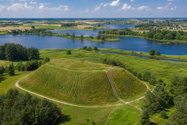
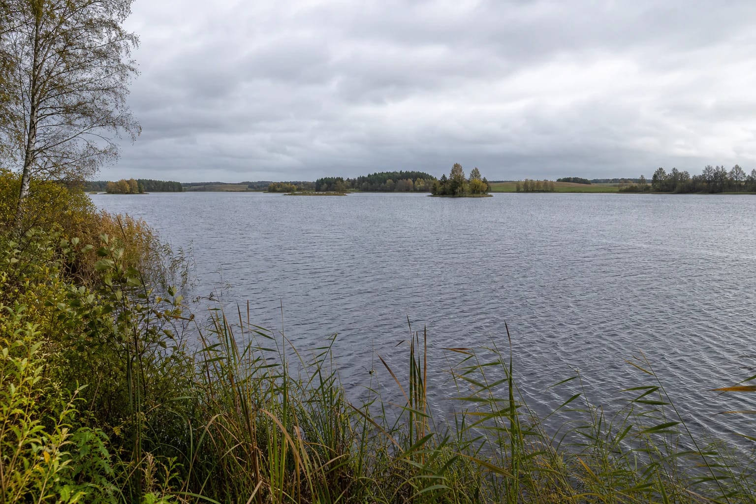
The reservoir has an irregular V shape with branching arms, low shores, and a winding shoreline. Water, reed beds, wooded banks, cultivated fields, and more open beach sections change from one stretch to the next. One stop therefore shows only a small part of the whole reservoir.
The coordinates 55.88415, 23.14368 are a representative reference to the general Bubiai Reservoir landscape. They do not promise a particular beach, pier, parking place, or easiest water access at that same point.
How the large waterbody formed
Bubiai Reservoir was created in 1978 by damming the Dubysa near Pailiai. The impoundment flooded the valleys of the Dubysa, Spalvė, and Šventupis, as well as the small Raizgiai and Jonelaičiai lakes. The present waterscape is therefore a modified valley where traces of earlier waters and settlements meet.
VLE gives the reservoir an area of about 418 ha, a maximum depth of 14 m, an average depth of 5.1 m, and a shoreline of about 45.2 km. Those figures explain why Bubiai Reservoir is not a single small pond beside the village: its arms and access points offer different experiences.
The water is also used for Šiauliai's industrial water supply. This is a reminder that the reservoir is not only a leisure backdrop but also part of infrastructure and water management. Keep the shore clean, do not damage embankments, and stay out of unmarked technical areas.
Islands, shores, and the surrounding landscape
Bubiai Reservoir has ten small islands, the largest roughly half a hectare or a little more. They give the reservoir a lake-like horizon, but their presence does not mean that every island has a landing place, a path, or lawful visitor access.
The island by Sauginiai contains Sauginių Hillfort and a burial site, while Bubiai Hillfort stands nearby on the reservoir landscape. These places show how the waterbody changed the older inhabited and defensive landscape of the Dubysa valley, but each heritage site has its own access question.
Along the shore, look beyond open water. Reed belts, birch woodland, conifer patches, fields, and wind changing the surface create different places for photography and a short walk. Do not plan to walk one continuous trail around the reservoir's roughly 45 km shoreline.
Beaches and recreation by the water
VLE notes beaches at Bubiai Reservoir, while the municipality publishes water-test results for a specific Bubiai Reservoir bathing site in 2026. Choose a marked place for swimming and recreation rather than treating the whole shoreline as one beach: surfaces, access, and facilities differ.
Follow local signs and the municipality's bathing-site information, especially when travelling with children. Do not jump from an unfamiliar shore, swim beyond reed beds or boating routes, and take wind seriously: a broad reservoir can become choppy quickly.
If the aim is a quiet landscape stop rather than swimming, keep a backup point in mind. One bank may be wet, busy, or unsuitable for cars while another arm has completely different conditions.
How to plan a Bubiai Reservoir outing
Allow one to three hours for a first visit: enough to reach a chosen shore, spend time beside the water, visit a particular beach, or combine the stop with Bubiai Hillfort. If you want to see different arms, plan around real roads rather than a straight line on the map.
Park only lawfully and in a designated place, never on grass, an embankment, or private land. Plan a boat or fishing trip only where it is clearly allowed and a suitable launch exists. Stay away from barriers, service structures, and water-management equipment.
Combine Bubiai Reservoir with Bubiai Hillfort, Girnikai Hill, Bijotė Lake, or Kurtuvėnai Manor Estate. A day route then includes water, a viewpoint, and cultural heritage instead of trying to walk a huge reservoir from one end to the other.