- Place
- Kernavė, Širvintos District Municipality
- Region
- Vilnius Region
- Type
- 2.6 km tourist-educational forest trail
- Address
- Baltojo kalno recreation area, Pajautos Street, Kernavė, Širvintos district
- Coordinates
- 54.88900, 24.82700
- Visit duration
- about 1.5-2 hours with stops
- Best time
- dry weather from late spring to early autumn; use extra care after rain
Balto kalno educational trail, Baltojo kalno pažintinis takas, Kernavė tourist-recreation trail
Three Names for One Kernavė Trail
Sources use several closely related names for this route. The official Saugoma.lt page calls it the Balto kalno educational trail, while the Kernavė management plan and Širvintos Municipality material use the tourist-recreation or tourist-educational trail name ‘Come, human, let silence embrace you’. Both names describe the same approximately 2.6 km trail from White Hill near Kernavė.
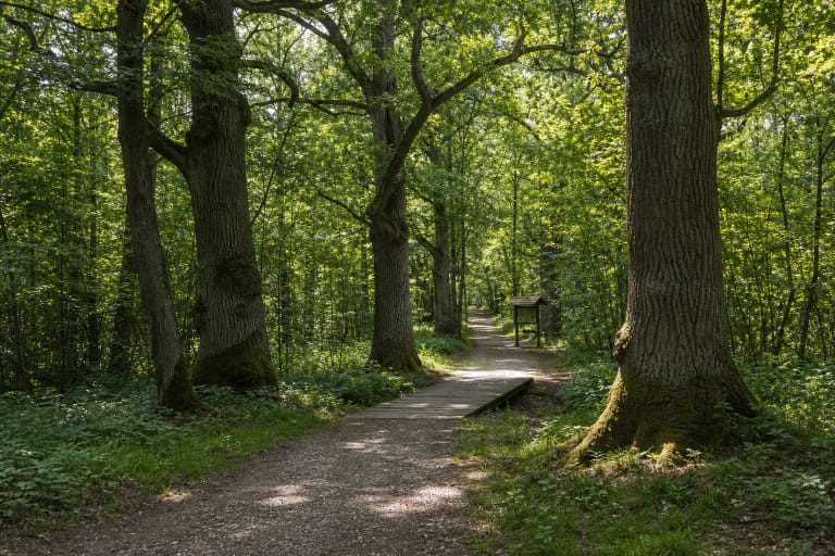
The route is not only a quick walk through woods. Its purpose is to let visitors experience a natural Neris valley landscape at the edge of Kernavė’s reserve, where river, pine forest, and old burial mounds form one coherent story.
From White Hill into the Pine Forest
The official trailhead is at the Baltojo kalno recreation area. It can be reached from Kernavė by Pajautos Street, with parking available at the recreation area. The coordinate 54.889, 24.827 is recorded as the entrance point, not as the geometric centre of the whole route.
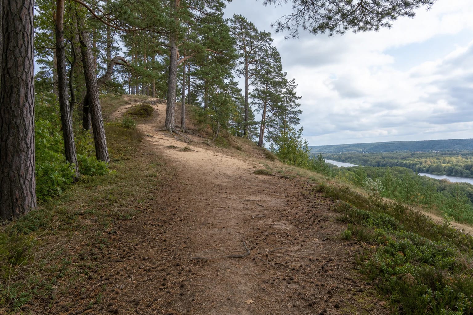
The Kernavė management plan describes a route of about 2,600 metres beginning at historic White Hill and running beside the Neris into the forest. The municipal brochure emphasizes natural surfaces of soil, gravel, and other forest-compatible materials, so some sections may be soft or slippery after rain.
Neris Valley Views and Forest Quiet
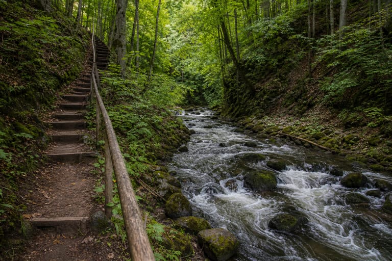
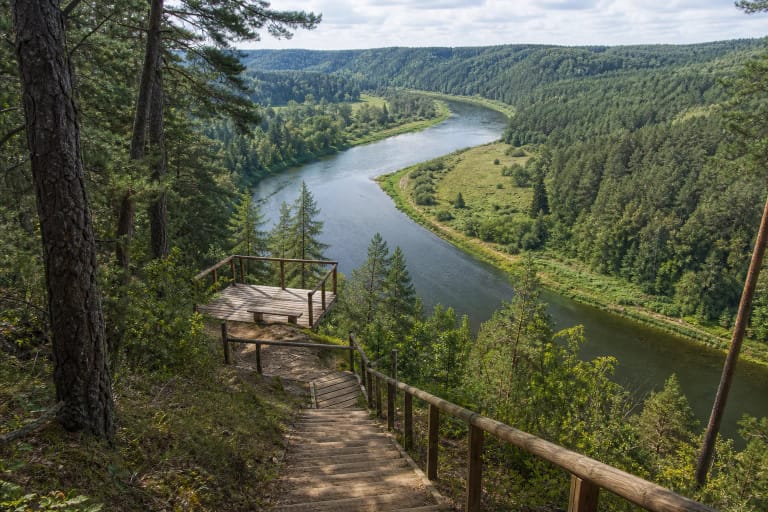
White Hill matters because of its relief: the higher Neris valley bank opens toward the river and wooded valley, while the trail bends and descends among pines. The management plan notes resting places, viewpoints, information boards, and signs, making this a slow-learning route rather than only a fitness walk.
Sandy stretches through the pine forest and the Neris valley panorama are best experienced by following the marked route. Follow the signs on site, do not take shortcuts across burial mounds, and stay away from the slope edge, especially when the ground is wet.
Burial Mounds and Kernavė’s Cultural Landscape
The route passes old 10th-11th-century burial mounds. That is what distinguishes it from an ordinary woodland stroll: the trail enters the cultural landscape of the Kernavė archaeological site, where natural relief and burial monuments connect to a much wider history of settlement.
Burial mounds are not places to climb, dig, or shortcut across. Protect the ground, remain on the trail, leave finds untouched, and take rubbish with you. Here, silence is not only part of the trail’s name but also a respectful way to visit protected heritage.
Practical Visiting
For 2.6 km with stops at viewpoints, information boards, and burial mounds, allow about 1.5-2 hours. Dry weather and shoes with a firm sole are most comfortable; roots, sand, natural ground, and sloping sections may be slippery after rain.
Saugoma.lt and the management plan do not state a separate trail ticket or seasonal opening schedule. That does not promise that every Kernavė service is always operating: check museum, event, parking, and reserve rules through official channels before travelling.