- Place
- Anykščiai, Anykščiai District Municipality
- Region
- Aukštaitija
- Type
- open urban park with paths, mature trees, lawns, rest areas, and event space
- Address
- between Parko and Anykštos streets, LT-29113 Anykščiai
- Coordinates
- 55.52735, 25.10712
- Visit duration
- 30-60 minutes for a quiet walk; longer during a town festival or when combined with central Anykščiai sights
- Best time
- leafy spring, a summer evening, or colourful autumn; check programmes and traffic restrictions during town events
Anykščiai Park, City Park in Anykščiai
Where the city park is and what the coordinate represents
The city park occupies the Ažupiečiai side of Anykščiai between Parko, Anykštos, and J. Jablonskio streets. Google Maps associates its address with Anykštos Street, while municipal notices more often identify it through Parko Street. Both refer to the same green space with access from several streets, so use the full place name in navigation.
The coordinate 55.5273513, 25.1071191 is a representative point inside the park, not a sole gate or car park. This is an unfenced public space rather than a ticketed attraction. Leave a car only where road signs permit, particularly during large town events.
VLE describes Anykščiai at the confluence of the Šventoji and Anykšta, with most of the centre on the Šventoji's left bank and Ažupiečiai and the railway district on the right. The city park introduces this less obvious side of town across the river from the principal square.
Paths, trees, and the character of everyday recreation
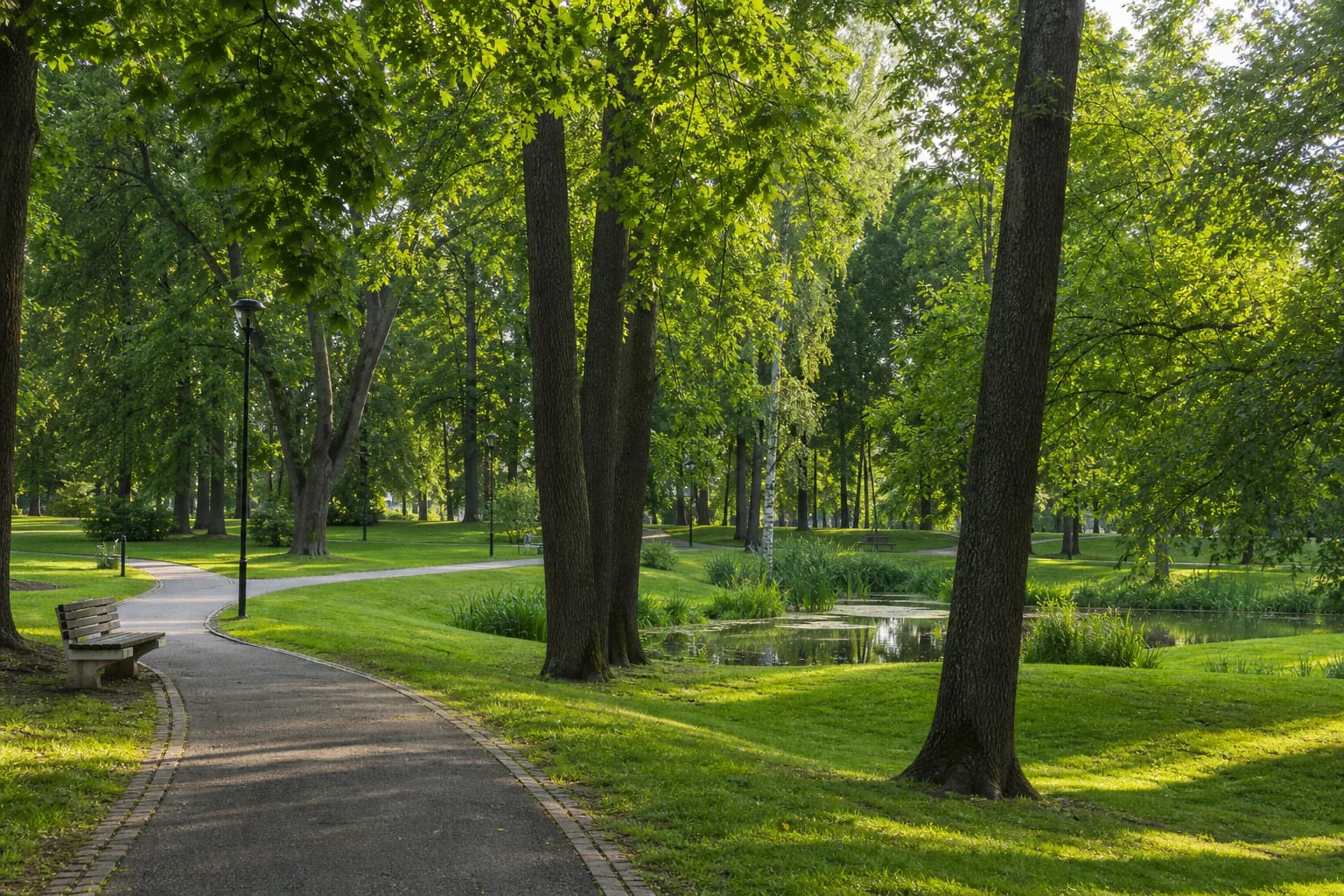
Mature deciduous trees, open lawn, curving paths, benches, and small wet or water-filled areas shape the park. There is no compulsory circuit: a short visit can cross its central section, while a slower walk can explore several zones with different degrees of shade and openness.
Older and newer municipal plans treat urban green spaces as a system for recreation, ecological connections, and events rather than decorative gaps between buildings. A green-infrastructure scheme prepared in 2026 examines the city park specifically, including permeable surfaces, main entrances, and more comfortable use by different visitor groups.
A planning document does not guarantee that every proposed element has already been built. Read conditions on arrival: lower lawns and unpaved stretches can remain wet after heavy rain, while shaded surfaces hold ice in winter.
The city park is not Anykščiai Regional Park
Similar names cause genuine confusion. Anykščiai City Park is a compact public green space in town. Anykščiai Regional Park, established in 1992, is a large protected area containing Anykščiai Forest, the Rubikiai lake district, river valleys, cultural heritage, villages, and numerous separate visitor sites.
The Regional Park Visitor Centre at 55 J. Biliūno Street is another distinct destination. It has an exhibition and route-planning service, whereas the city park has no ticket office, permanent exhibition, or regional-park ticket check.
The park should also not be confused with the Šventoji nature trail. The latter forms a longer riverside itinerary, while the park is a compact green space bounded by a few urban streets and suited to shorter recreation.
From a quiet walk to the town festival
On ordinary days, the park is a local walking and meeting place. Open lawns and paths branching in several directions make it easy to adapt a visit for children, a slower pace, or a short break between other Anykščiai sights.
Its role changes during major events. Information for the 2026 Anykščiai town festival allocated Parko and Valančiaus streets and the park grounds to craft and food traders, entertainment, and temporary catering. A quiet lawn can therefore become a stage, market, or busy activity zone.
Festival fencing, toilets, stalls, catering, and traffic restrictions are temporary rather than permanent park facilities. If silence is the purpose of the visit, check the municipality and cultural-event calendar before travelling.
Visiting with children, wheels, or a dog
Entry is free and there are no gates or fixed opening hours. Google Maps labels the park as open around the clock, but this does not mean that every path is equally lit or that a public toilet operates at night. Daylight is the most reliable time for a first visit.
Main approaches and some paths can accommodate a pushchair, but surfaces, kerbs, and gradients vary. No official confirmation of one continuous step-free circuit or a permanently available accessible toilet was found, so evaluate individual access needs on site.
Keep dogs under the control required in public urban spaces, remove waste, and avoid the densest crowds during events. Supervise children near wet hollows, street approaches, and temporary event equipment.