- Place
- Antalieptė, Zarasai District Municipality
- Region
- Zarasai District
- Type
- stone channel-type water mill
- Address
- Malūno g. 5, Antalieptė, Zarasai District
- Coordinates
- 55.65750, 25.86833
- Visit duration
- 30-60 minutes
- Best time
- daylight and the warm season, when the stone walls, channel, and water reflections are easiest to see
Antalieptė Stone Channel-Type Water Mill, Antalieptė, Malūno g. 5
A stone mill in Antalieptė
Antalieptė Water Mill stands at Malūno g. 5 in Antalieptė, beside the Šventoji River. The Lithuanian Water Mills database calls it a stone channel-type water mill and gives cultural-heritage object code 15817. The precise mapped location is 55.657500, 25.868333.
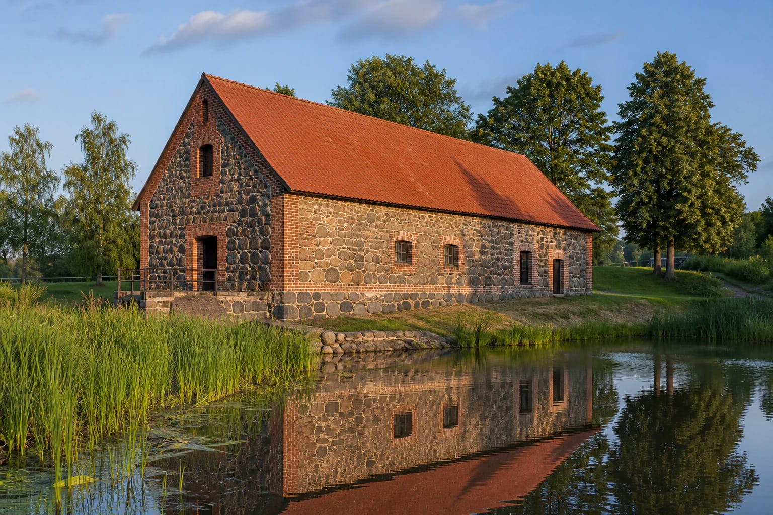
The building is best read together with its water system. Stone walls, the line of the channel, and reflections help explain why the mill was built in this particular setting. It is an industrial-architecture stop where the façade matters, but so do the terrain and the logic of moving water.
A channel-type building from 1855
The official Lithuanian Water Mills database dates the present Antalieptė mill to 1855 and describes it as a stone channel-type structure. That entry helps separate the masonry building visible today from possible earlier phases of milling mentioned in popular accounts, where more than one date can appear.
The stone walls and compact volume are not just a picturesque old-world surface. They show a technical purpose: water was directed through a channel, and the mill had to withstand dampness, loads, and continuous mechanical work. Look for openings, masonry texture, and the way the building meets the channel.
The Šventoji, the channel, and a power-history layer
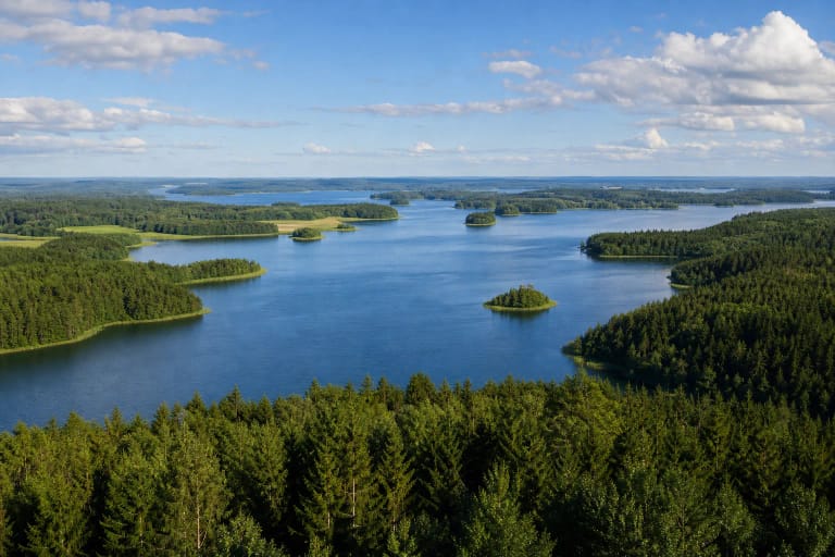
Antalieptė developed beside the Šventoji, so water here is part of the settlement’s history rather than mere scenery. The channel-type solution shows how river flow was turned into working power. Even when no machinery is visible inside, the plan of the site still suggests an older piece of hydraulic infrastructure.
Visuotinė lietuvių enciklopedija notes that a hydroelectric plant was built in Antalieptė in 1959; it dates the water mill to 1855 and says it was restored in 1987. These should not be collapsed into one structure: the hydropower history gives wider context, while the facts about the mill remain distinct.
Restoration and surviving material
The 1987 restoration noted in the encyclopaedic entry means that the building visitors see combines historic masonry with later preservation work. Restored heritage also records the decision to keep a significant structure in place.
The stone is especially expressive in changing weather: sunshine picks out mortar joints, while dampness darkens the surface and strengthens water reflections. Keep away from technical or private areas when photographing, do not climb on the structure, and never try to enter locked rooms.
What to combine with the mill in Antalieptė
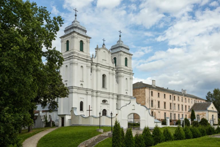
The mill can be combined with the Antalieptė Carmelite Monastery ensemble and the reservoir shore. Together they show three layers of the town: industrial work by the water, sacred architecture, and a landscape altered by a larger water body. Give the mill its own pause so it does not become only a quick photograph between other stops.
The mill interior may not always be accessible; check the local visiting arrangements before travelling and avoid locked or technical areas.
Visiting plan and site care
About 30-60 minutes is enough for an exterior visit if you want to walk around the water side, study the masonry, and photograph the silhouette at an unhurried pace. Practical shoes help near damp banks, and children should be kept away from the channel and any technical structures unless supervised closely.
Interior and technical areas are not continuously open to visitors. Follow signs before photographing, park only where permitted, and supervise children near the channel.