- Place
- Zarasai District Municipality
- Region
- Aukštaitija
- Type
- long circular nature trail
- Address
- Upper Šventoji trail, Gražutė Regional Park, Zarasai District
- Coordinates
- 55.62944, 25.97726
- Visit duration
- about 4 hours for the 10.5 km circuit, excluding long stops
- Best time
- dry conditions from late spring to autumn; sections may be wet after heavy rain
Upper Šventoji trail
A 10.5-kilometre circuit that takes time
The State Service for Protected Areas gives the circuit as 10.5 km and recommends about four hours. This is not a short boardwalk beside a car park: forest roads, natural paths, water margins and heritage sites all form part of the route.
Seven interpretation panels explain the upper Šventoji landscape. Mythological boat symbols help mark the way, but download an offline map because forest reception may be unreliable.
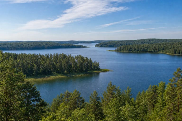
Antalieptė Reservoir and a submerged lake district
The Antalieptė hydroelectric reservoir transformed the old terrain, joining the basins of 26 flooded lakes into a system of islands, bays and narrows. Its apparently wild shores are therefore not those of a single natural lake.
Steep or wet margins occur along the route, making substantial hiking footwear more useful than city trainers.
Galminiai hillfort, burial mounds, and interpretation
The circuit passes Galminiai hillfort and a burial-mound group, two distinct elements of an archaeological landscape. The former concerns settlement and defence, while the latter reflects burial practice; read both with the site panels.
Mythological boat motifs are a modern interpretive device, not proof that every local legend is documented history. Stay on the path and never disturb archaeological ground.
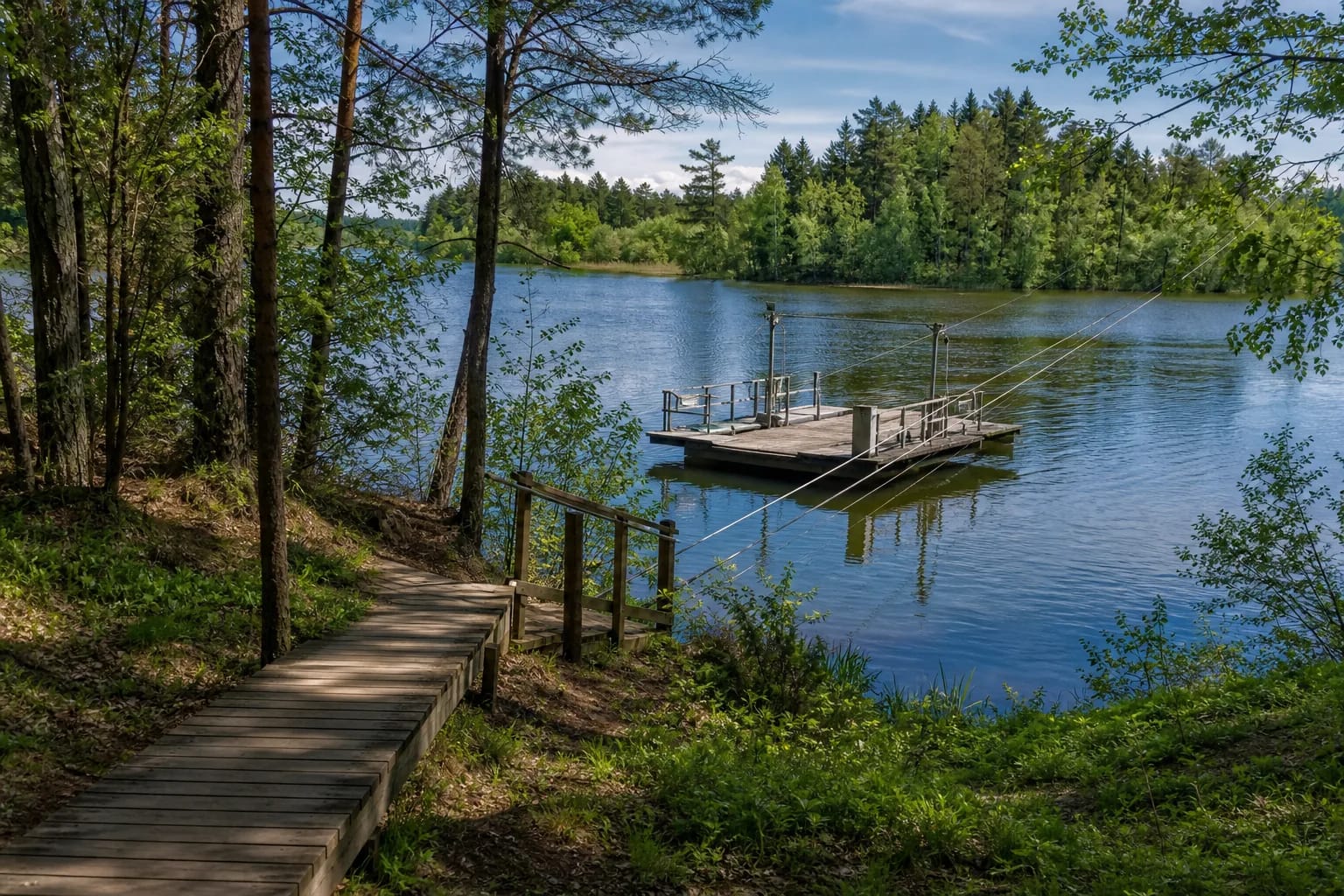
The hand-operated pontoon
A small pontoon platform crosses the water as users pull a cable. Follow the posted instructions, never overload it, and consider gloves if the cable is wet or rough.
The crossing may be removed, damaged, or closed because of water, weather, or maintenance. Check official park information before travelling specifically for it, and never attempt an improvised swim if it is unavailable.
Waymarking, cycling, and the map pin
The official description permits both walking and cycling. Although 10.5 km sounds modest on a bicycle, natural wet ground, heritage stops, and the hand-operated pontoon make this slower than a surfaced urban route. After rain, use tyres suited to forest tracks and adjust speed to visibility.
The OpenStreetMap feature used here is a representative point on the route, not a promise of a single official entrance or car park. Choose a starting point from the current park map, save the complete circuit offline, and note that the pontoon is described about 3 km into the route at Blėkiškės village.