- Place
- Kėdainiai District Municipality
- Region
- Kėdainiai District
- Type
- reservoir and water body
- Address
- Angiriai village, Josvainiai Eldership, Kėdainiai District Municipality
- Coordinates
- 55.28760, 23.74660
- Visit duration
- 1-3 hours, or longer if you separately seek a lawful shore approach
- Best time
- the warm season, when shore conditions are easier to see; wear grippy footwear after rain
Šušvė Reservoir, Angiriai water body
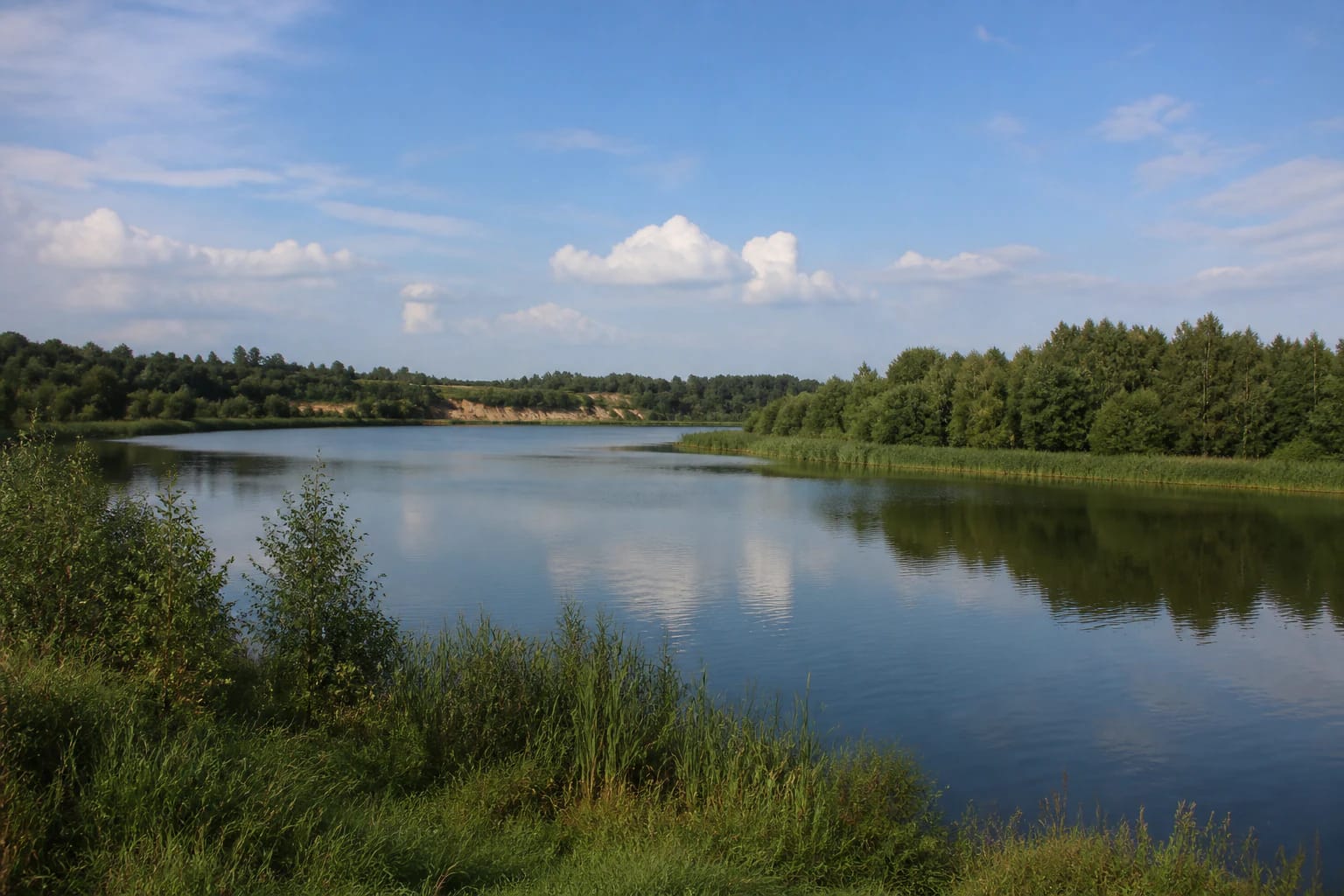
Angiriai is a broad Šušvė water body
Angiriai Reservoir lies around Angiriai village and Josvainiai Eldership in Kėdainiai District Municipality. VLE also calls it the Šušvė Reservoir and places it about seven kilometres north-west of Josvainiai. This is a geographic orientation; convenient access depends on the shore you choose.
VLE gives the reservoir an area of about 248 hectares and a length of roughly 11 kilometres. It is not one small point that can be understood from a single car park, so the map coordinate should be read as a broad guide rather than a visitor entrance.
Depth and shoreline shape the visit
Angiriai Reservoir reaches a reported maximum depth of 15.5 metres, with a mean depth of 6.2 metres and a shoreline of about 24.4 kilometres. Its bank is not especially winding, but individual shore sections can differ greatly in terrain and accessibility.
VLE highlights high, steep banks at the Pilsupiai outcrop. Such a bank may offer an interesting landscape view, but a steep slope is not a built viewpoint or automatically safe bathing site, especially after rain and when visiting with children.
The reservoir was made by damming the Šušvė
The reservoir was formed in 1980 by damming the Šušvė, about 24.6 kilometres from the river mouth. VLE also records a hydroelectric plant built here in 2000, so the landscape combines an extensive water body with hydrotechnical infrastructure.
Paupelys, Cigoniškė, and Žemėplėša flow into the reservoir. These names explain the wider hydrological setting, but they do not identify separate tourist trails, piers, or convenient public approaches to the water.
Bathing-water information changes by season
A 2024 Kėdainiai District Municipality programme placed Angiriai Reservoir among the monitored bathing sites in Josvainiai Eldership, with samples planned at least every two weeks during the season. The programme covers a specific period, so check the latest information before swimming.
That material mentions intestinal enterococci and E. coli tests, as well as beach-sand monitoring. Before swimming, look for the municipality's latest notice and signs on site rather than inferring today's conditions from the 2024 programme.
Commercial services are not the whole public shore
The municipality describes an Angiriai hydrotechnical complex, while the separate Wake Angiriai operator page accepts bookings for water activities. This is one commercial service, so its equipment, prices, and booking rules should not be applied to every part of the reservoir.
This representative map point does not confirm a beach, public car park, or free access to every bank. Use a lawful road, leave the car where parking is permitted, follow signs, and never cross private land without permission.