- Place
- Kaunas City Municipality
- Region
- Kaunas
- Type
- pedestrian and cycle bridge over the Nemunas
- Address
- 8 A. and J. Gravrogkai Street, Kaunas 51436
- Coordinates
- 54.89424, 23.96978
- Visit duration
- 30-60 minutes to cross and read the valley; longer if you continue along Panemunė Pinewood paths
- Best time
- a dry morning or evening, when the high bridge gives a clear view of the Nemunas valley and forest edge
A high bridge to Panemunė Pinewood
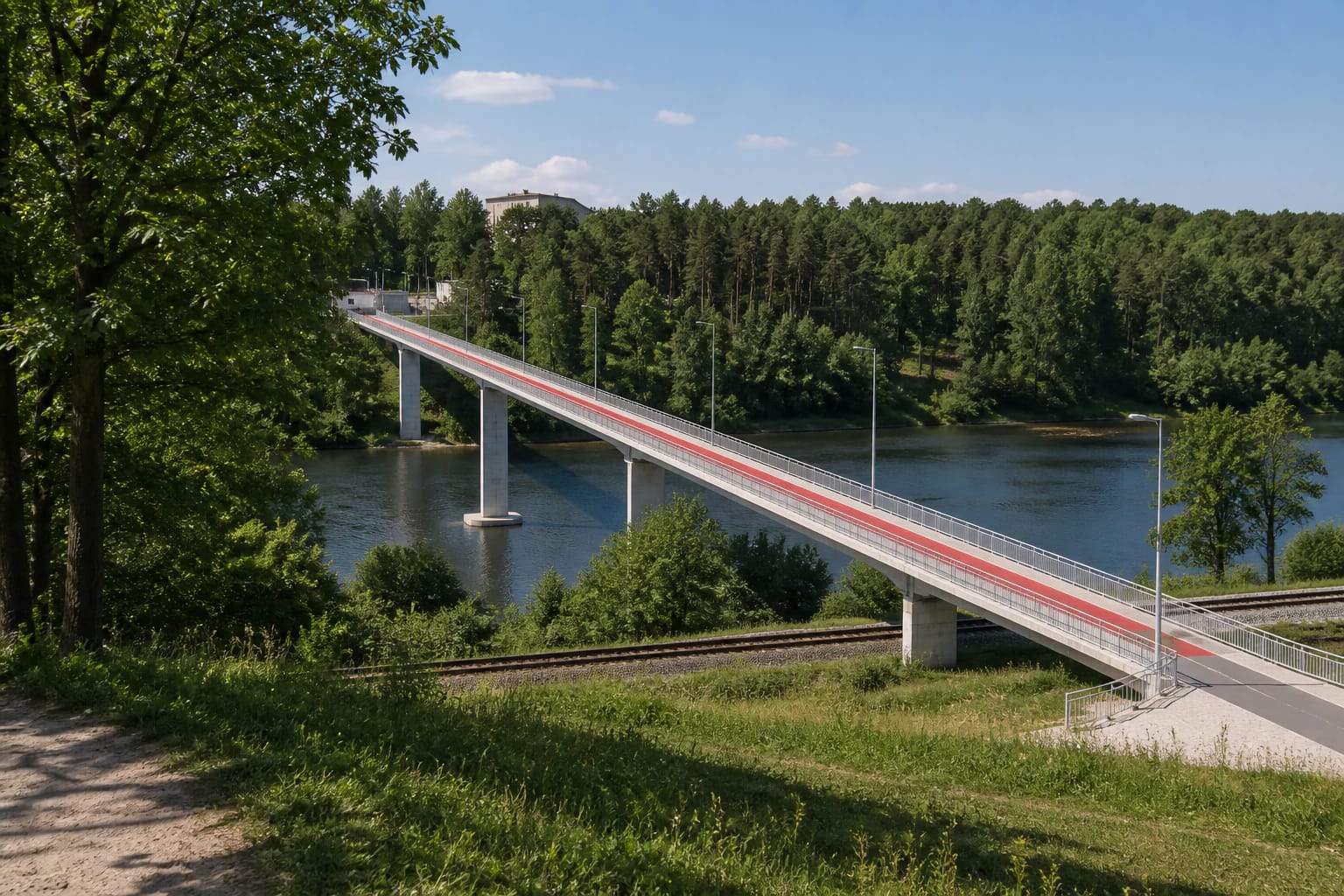
Trijų mergelių Bridge is a separate pedestrian and cycle bridge over the Nemunas in Kaunas. One end reaches the A. and J. Gravrogkai Street side, while the direct route leads towards Panemunė Pinewood and its recreation paths. The crossing can also be approached from Biržiškų Street, so navigation should take account of the chosen starting point rather than only the most photogenic viewpoint.
The bridge dates to 1976. It is about 388 m long and approximately 32 m high above the valley. Because of that height, the crossing reveals not only the water but also a wider structure of the Panemunė forest, railway, and Nemunas valley.
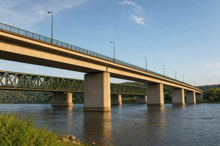
The Vilnius-Kaunas railway runs beneath it
The bridge is easy to identify by its high concrete structure and the Vilnius-Kaunas railway line below it. This explains why the crossing is not a low riverside path: it has to clear both the railway and the valley floor. From above, visitors can read the combination of transport layers; from below, the scale of the supports becomes clearer.
The view changes in each direction. The city side has more streets, approaches, and buildings, while trees and pinewood paths begin quickly on the Panemunė side. This is not an observation tower, however, so leave room on the path for cyclists, children, and other pedestrians.
The 2022-2023 reconstruction restored a daily route
After roughly a year of reconstruction, the bridge reopened in December 2023. The reinforced-concrete structures, metal railings, and lighting were renewed, and the main surface and approaches were improved. The bridge seen today is therefore both a 1976 structure and a more recent adaptation for pedestrians and cyclists.
On the renewed route, different surface colours help distinguish pedestrian and cycle flows, while more convenient stairs, benches, and bicycle stands were added at the approaches. That does not mean every part will feel equally easy: rain can make surfaces slippery, and the stairs and exposed high crossing require more attention than a level park path.
Bridge views and the beginning of the pinewood
The bridge deserves a stop of its own because it opens a long view through the Nemunas valley. Simple lamps and high protective railings line the route, while forest edges and riverside greenery fill the distance. When taking photographs, move to a place where the whole path remains clear and never lean equipment over the railings.
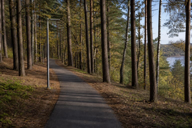
Panemunė Pinewood begins not as an indoor exhibition but as a city forest and recreation area with walking and cycling paths. The bridge can be a short out-and-back experience or the gateway to a longer route. If you want only the panorama, 30-60 minutes is usually enough; exploring the pinewood needs several hours.
A practical crossing and safety
The bridge has no ticketed visiting regime. Follow local signs, municipal notices, and the actual condition of the path when you arrive. The coordinates 54.8942444, 23.9697764 mark the structure rather than one car park. Plan approaches so that residents' access is not blocked and bicycles do not cut through pedestrian flows.
After rain, the surface and stairs can be slippery, and the exposed height requires care. When taking photographs, stand where the path remains clear, do not lean on the railings, and give way to cyclists, children, and other pedestrians.