- Place
- Šiauliai City Municipality
- Region
- Šiauliai Region
- Type
- linear pedestrian public space and late-modernist urban-design ensemble
- Address
- Vilniaus Street between Žemaitės Street and Draugystės Avenue, Šiauliai
- Coordinates
- 55.93095, 23.31509
- Visit duration
- 45-90 minutes for the boulevard itself; 3-4 hours with the Photography and Bicycle museums
- Best time
- in daylight from late spring to early autumn, or after dark for the lighting; check events and the temporary 2026 approach works first
Vilniaus Street pedestrian boulevard, Vilniaus Street pedestrian avenue, Šiauliai pedestrian boulevard
A 1.28 km pedestrian section, not all of Vilniaus Street
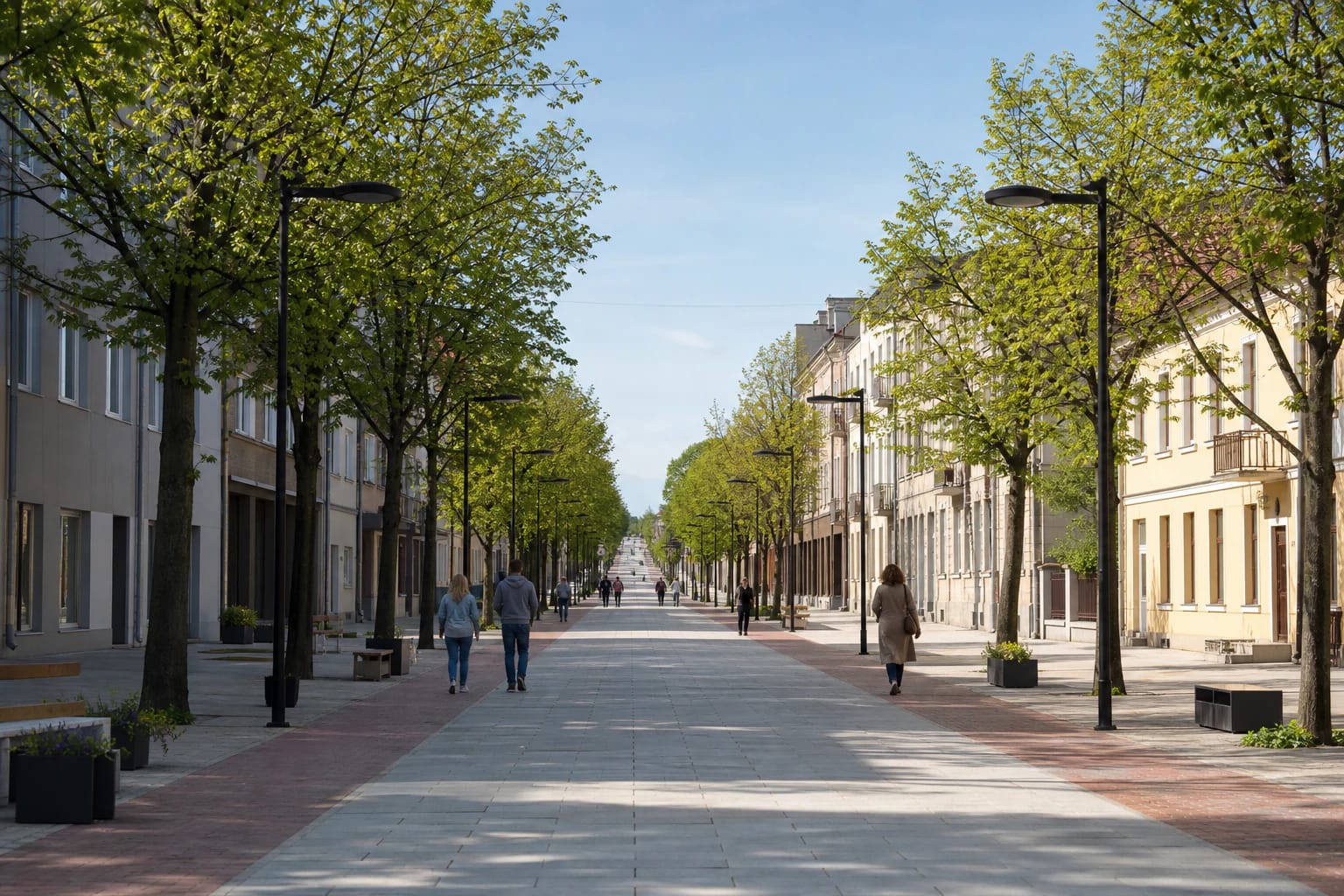
Šiauliai Boulevard is the central part of Vilniaus Street between Žemaitės Street in the west and Draugystės Avenue in the east. It measures 1.28 km. Vilniaus Street continues much farther across the city and returns to ordinary vehicle traffic beyond both junctions, so choosing an arbitrary Vilniaus Street address will not necessarily take you to the boulevard.
Coordinates 55.930948, 23.315088 mark the Gaidys clock at the junction of Vilniaus and Tilžės streets. This is an easily recognized orientation point near the middle of the route, not its only entrance, a car park, or the exact geometric center of the linear site. A straightforward full walk starts at Žemaitės Street and continues east to Draugystės Avenue, or follows the same line in reverse.
Walking one way without stops usually takes about 20-30 minutes; returning along the same route makes a walk of roughly 2.56 km. Tilžės Street cuts across the boulevard as an active traffic junction, and vehicles may also appear at other signed crossings or during authorized servicing. Pedestrian status does not remove the need to follow signals, road markings, and live signs.
A first pedestrian phase in 1975 and the present length in 1986
A Šiauliai Aušra Museum project describes Vilniaus and Tilžės as two of the city's oldest urban axes, meeting in the old-town core. The boulevard, however, is not a museum of one architectural period: interwar, postwar, and later buildings line it, and the uses of their ground floors have changed repeatedly.
AUTC identifies two design phases. Architect Virginija Taujanskienė and designer Vilius Puronas worked on the first in 1974-1984; architects Rimantas Kačinskas, Valentinas Mazuronis, and Virgilijus Kačinskas followed in 1984-1986. Construction began in summer 1975 with the conversion of a roughly 900 m section into a pedestrian boulevard.
The city's official visitor history defines the 1975 pedestrian stretch as running from Žemaitės Street to P. Višinskio Street, with a second section added in 1986 for Šiauliai's 750th anniversary. VLE groups Puronas's implementation work into 1975-1979 and 1985-1986. In other words, 1975 is the sound date for the boulevard's beginning, not the single-day completion of today's entire 1.28 km route.
Why the boulevard matters in Lithuanian urban-design history
AUTC interprets the boulevard as part of late modernism's turn toward a more human-scale city. In the Soviet context, Šiauliai did more than remove cars: it deliberately formed a pedestrian street around public ground floors, planting, and a coordinated system of small architecture. Flower beds, benches, and designed compositions occupied the former traffic space.
The project extended far beyond paving. It included street lights, benches, three-dimensional signs, metalwork, facade graphics, drainage grilles, and even utility covers. VLE dates facade decoration to 1975-1979, the sculptural advertising to 1978-1982, and boulevard equipment and lighting to 1985-1986. Some originals have disappeared, moved, or been renewed, so the present streetscape contains several layers rather than an untouched 1975 ensemble.
The first completed phase received the USSR Council of Ministers Prize in 1984, while VLE also records a 1978 bronze medal awarded to Puronas and collaborators for the boulevard project. The street was promoted as the first pedestrian street in the USSR. AUTC notes that informal pedestrian zones had existed earlier, making the best-supported distinction the boulevard's deliberately integrated design, not a claim that cars had never been removed anywhere else.
Local tourism material also calls the 1975 boulevard Europe's third after pedestrian streets in Rotterdam and Erfurt. International rankings change according to whether they count one street, a wider zone, permanent conversion, or temporary closure. Treat that number as part of Šiauliai's civic story rather than an uncontested league table of every pedestrian space in Europe.
The Gaidys clock, sculptural signs, and birds to look for
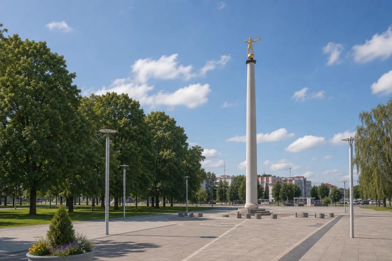
The Gaidys, or Rooster, clock at Vilniaus and Tilžės streets was installed in 1975 as boulevard construction began and was designed by Vilius Puronas. It became a traditional meeting point. The clock was renewed in 2003, stopped during reconstruction beginning in 2019, and returned to service in early 2022 after a major tower repair and installation of a new Swiss-made mechanism. The municipality then reported greetings in 14 languages, but the sound program and timing can change.
The boulevard's most distinctive legacy is its group of sculptural signs and metal artworks. Gyvatė, Batas, Dvi kregždutės, Vėžys, and Knygos - žinių šaltinis began as signs for former shops, social messages, or playful pieces of urban wayfinding. Read them as late-Soviet design objects, not evidence that the same pharmacy, bookshop, or bridal salon still operates beside each one.
The Pelikanai fountain-sculpture was made by Birutė Kasperavičienė in 1978 from concrete clad in hammered copper and was reconstructed in 2003. A story says two pelicans in love lost their flock and were turned to stone by a sorceress after landing in Šiauliai. It is a playful local legend, not documented history of the commission.
At the eastern end, the Three Birds fountain traces its history to a 1981 design by architect Algimantas Černiauskas with a sculpture by Kazys Kasperavičius. The birds returned in 2022 after reconstruction, now surrounded by a new three-circle light-and-music fountain. Its water season, programmed shows, and maintenance pauses are separate from access to the boulevard and should be checked independently.
The 2017-2023 project renewed only the eastern section
The official EU investment register gives the modern project's exact boundary: it renewed the pedestrian section of Vilniaus Street from Tilžės Street to Draugystės Avenue. That is not the whole 1.28 km boulevard. The same project also covered an outdoor amphitheater and a separate section of Vasario 16-osios Street between Trakų and Vytauto streets, so its total area and cost cannot be assigned to the boulevard alone.
The register dates project activity from 16 January 2017 to 31 January 2023 and marks the project completed. The eastern boulevard received renewed surfaces and paths, lighting, planting, small architecture, parking places and fountains, together with a children's play area.
The result is best read in layers. Surfaces, planting, and furniture differ in age between the western and eastern sections; some older artworks were restored or returned, while other everyday commercial signs disappeared with their original functions. The authentic idea is not a frozen 1975 scene, but the surviving relationship among architecture, graphic design, art, planting, and everyday movement.
Free access, practical accessibility, and 2026 approach works
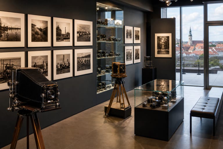
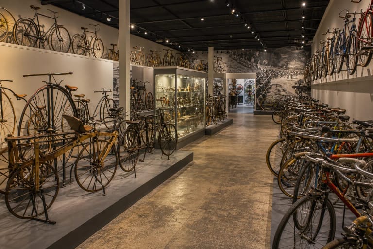
Šiauliai Boulevard is an open public space without a gate, common admission ticket, or museum-style opening hours. Allow 45-90 minutes for the route and its design details, or 3-4 hours with the Photography and Bicycle museums. Museums, cafes, shops, fountains, and events have independent hours and prices; none should be treated as a permanently available boulevard service.
The main route has a hard surface and benches. A tactile map of the city's solar-themed landmarks was installed beside the Gaidys clock after reconstruction for visitors with visual and mobility impairments. No new audit covering the whole 1.28 km route was found, however. The Tilžės Street crossing, other junctions, local gradients, temporary event equipment, winter surfaces, and construction barriers can all affect the easiest wheelchair or pushchair route.
Do not drive onto the pedestrian axis to look for parking. Central Šiauliai has spaces with different restrictions, but this page's coordinate marks the clock, not a car park. Follow the signs in force that day or arrive by public transport and begin at whichever end gives you the easiest approach.
For 2026, the municipality announced works on Vilniaus Street west of Žemaitės Street toward M. K. Čiurlionio Street and east of Draugystės Avenue toward the Radviliškis approach. Both work zones lie outside the pedestrian boulevard, but they can still alter driving routes and parking choices. Check the latest municipal notices before travelling, because the 2026 plan is temporary rather than a permanent condition.