- Place
- Vilnius City Municipality
- Region
- Vilnius
- Type
- Šnipiškės urban park with a glacial-age pond chain, floating boardwalks, and recreation and sports areas
- Address
- Linkmenų g. 28, Vilnius
- Coordinates
- 54.70730, 25.27091
- Visit duration
- 45-75 minutes for the ponds and boardwalk loop; up to 2 hours including play or sports areas
- Best time
- May or June when aquatic plants flower, or a September morning; choose daylight for a first visit
Neries senvagės slėnis, Neris Oxbow Park, Šnipiškės Oxbow Park, Neries senvagės parkas
The 7.06 ha park marks a former river corridor, not a single pond
Neris Oxbow Valley extends through Šnipiškės along Linkmenų Street. Coordinates 54.7072976, 25.270915 mark a representative point by the ponds and floating boardwalks, not a single gate. Entrances connect the park with Linkmenų Street, surrounding housing, and walking and cycling links.
The official park manager gives an area of 7.06 ha. Its water bodies are not an isolated ornamental composition: they form part of a longer oxbow chain that starts near Ozo Park, follows Linkmenų Street, and reaches towards Žvėrynas near Boris Nemtsov Square.
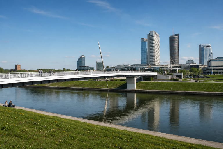
No single route is compulsory. A short visit can circle the main ponds using timber and surfaced paths, while a longer walk can continue towards the Vilnius Japanese Garden, White Bridge, or the Neris waterfront.
The ponds recall the Neris flowing here roughly 10,000 years ago
Vilnius City Parks explains that the River Neris flowed where the present ponds lie approximately 10,000 years ago. When the river shifted course, water bodies and a damp corridor remained in the lower terrain. Oxbow therefore describes the area's geological origin, not a branch still connected to today's river.
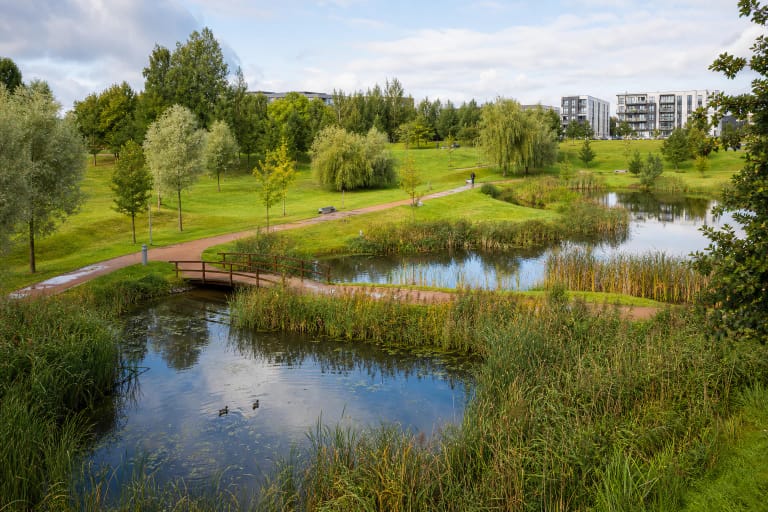
Reeds, water lilies, and other wetland plants occupy the banks. Mature poplars, willows, birches, maples, and alders preserve an older landscape layer. Swans and other waterbirds can be seen on and beside the ponds, but they are best watched from paths without entering reeds or leaving food.
The pond water is not managed as an official bathing place. Some residents asked in the 2024 survey for the water bodies to be adapted for swimming, but that request is not evidence that bathing is already permitted or safe. Plan this as a walking park, not a beach.
The 2020 transformation linked the landscape with a growing Šnipiškės
Before redevelopment, this part of Šnipiškės was little used and neglected in places. The municipality completed the park in 2020, protecting the relief and established greenery linked to its geological origin while creating clear zones for everyday movement, rest, and sport.
The project manager was Vincas Brezgys of Vilniaus Planas, and the architect was Paulius Jonys. The municipality reported investment of more than EUR 920,000 in this oxbow section, while the broader walking and cycling connection from the Neris towards Ozo was planned at about 3.6 km.
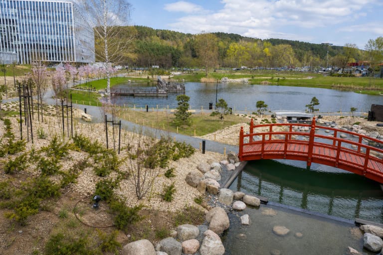
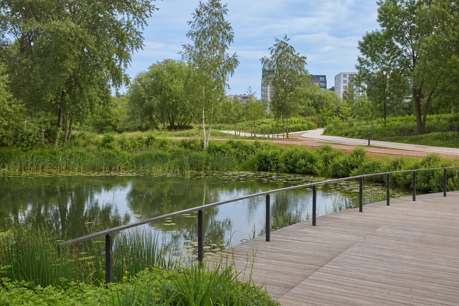
The most distinctive design features are the winding floating timber walkways and waterside terraces. Separate pedestrian and cycling paths run alongside them, with planted buffers between the flows. The arrangement brings people close to water without forcing a quiet stroll and faster cycle traffic into the same narrow route.
Play, sport, and dog areas surround the natural core
The official park description lists benches, lighting, bins, a children's playground, basketball court, outdoor exercise equipment, a multi-use sports area, and a pétanque space. It also notes a dog area, bird feeders, and a public toilet, although equipment condition and toilet hours can change.
Many principal links have gentle gradients and suit a pushchair, while hard surfaces make wheeled movement easier. Timber terraces, steps, winter ice, or temporary works can nevertheless close the shortest route. It would be inaccurate to promise that every path is universally accessible in all conditions.
A separate cycle route crosses the area, so slow down near floating walkways and rest areas and respect pedestrians. With a dog, use the designated area and follow Vilnius rules for public spaces; do not allow a pet to chase birds around the ponds.
This free everyday park is easiest to understand in daylight
Neris Oxbow Valley is an unfenced, free public green space. It has no permanent tourist ticket or single museum-style schedule. Principal routes have lighting and CCTV, but daylight makes the relationship between the ponds, boardwalks, and activity zones easier to read on a first visit.
A municipal survey in 2024 received 851 responses. Fifty-six per cent said they visited daily or at least weekly, while 81 per cent arrived on foot, by bicycle, or by public transport. Some 97.4 per cent felt safe by day and 64.7 per cent after dark. The survey's overall score was about 4.5 out of 5, and 87 per cent would recommend the park.
That survey score should not be confused with the changing Google Maps rating. On 27 July 2026, the exact listing named Neries senvagės slėnis showed 4.8 from approximately 388 reviews. Both figures are dated snapshots, not guarantees of seasonal cleanliness, water level, or the condition of every amenity.