- Place
- Zarasai District Municipality
- Region
- Aukštaitija
- Type
- circular nature and small-town trail
- Address
- Lake Luodis shore, Salakas, Zarasai District; one official start is Sabalunkai campsite
- Coordinates
- 55.57659, 26.14839
- Visit duration
- about 2.5 hours for the complete circuit of almost 5 km
- Best time
- dry conditions from spring to autumn; morning is best for birds
Lake Luodis Salakas Nature Trail
The representative map point is not the only trailhead
The official circuit is almost 5 km and takes about 2.5 hours. Saugoma.lt identifies three practical starts: the Gražutė Regional Park Visitor Centre at 14 Laisvoji Square, the Lake Luodis campsite at the end of Ežero Street, and the second lakeside area at the end of Sakalo Street.
The coordinate on this page is the representative trail feature mapped in OpenStreetMap, not a compulsory gate or car park. Sabalunkai campsite is the separately identified start for visitors who need the adapted section.
From the Luodis shore into Salakas
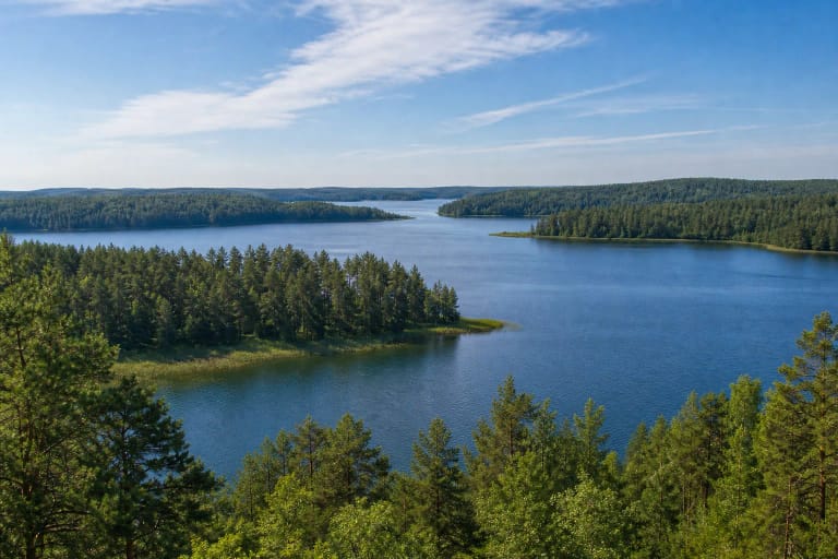
Boardwalks lead past reeds and wetter woodland on the Lake Luodis shore. Think of this as both a nature and town circuit, not one continuous timber path: natural ground and Salakas streets form much of the route, so choose footwear for the complete walk.
The official description also identifies Salakas esker as a landform left by the last glaciation. Follow route signs and interpretation to recognise it rather than assuming that every wooded ridge is the named feature.
Bird tower and alluvial woodland
A modest tower rises above the Lake Luodis shore vegetation. Early morning brings better chances of hearing and seeing waterbirds, and binoculars are far more useful than approaching them.
The alluvial woodland reflects periodically wet shore conditions. It may be slippery or flooded after storms, so remain on the managed route and protect the sensitive ground layer.
Town history within one walking circuit
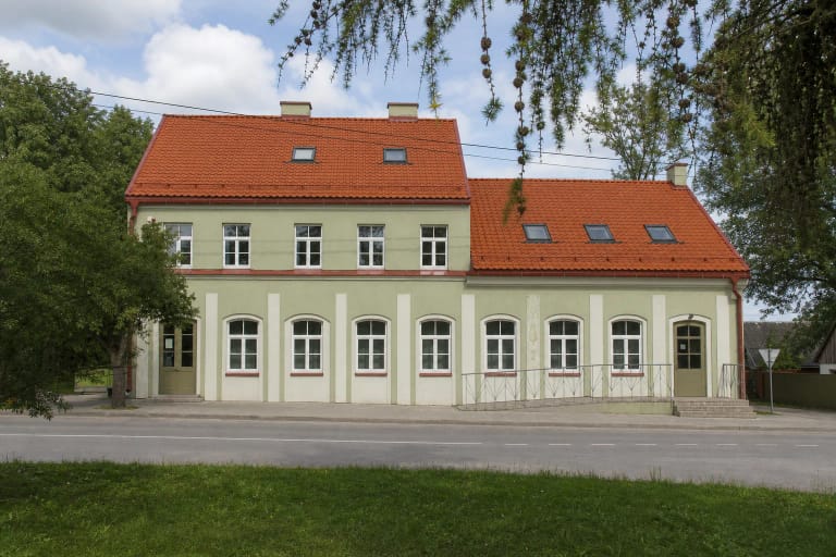
The trail incorporates Tatar and old cemeteries, Salakas centre, the Antanas Poderis memorial museum and the Church of Our Lady of Sorrows. The Aukštaitija Protected Areas Directorate describes the 72 m church, built of dressed local fieldstone, as Lithuania's tallest church of that material.
Treat cemeteries as memorial places and enter the church only when it is open and services are not being disturbed. Moving from lakeside habitat into a living town is the route's defining strength.
An accessible section from Sabalunkai campsite
The Protected Areas Service identifies a hard-surfaced accessible section from Sabalunkai campsite to the bird tower, along with an adapted toilet at the campsite.
This does not make the whole circuit step-free. Check the exact section, vehicle access and any seasonal works through the official source before travelling.