- Place
- Šilutė District Municipality
- Region
- Rusnė
- Type
- local riverside recreation area with no confirmed permanent lifeguard service
- Address
- eastern waterfront of Rusnė, Šilutė District
- Coordinates
- 55.29965, 21.38287
- Visit duration
- 30-90 minutes; less outside summer or when water is high
- Best time
- a calm summer day in daylight, after checking water level, weather and signs on site
Rusnė River Beach, Rusnė Pliažas
What kind of beach this is and where to find it
The Google Maps point lies on the eastern waterfront of Rusnė at 55.299649, 21.3828656. Use this exact point because residents use several riverbanks for recreation and older travel maps attach the same name to a different location.
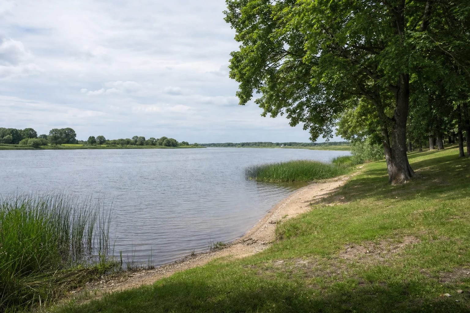
Beach here does not mean a broad, fully serviced seaside resort. This is a small riverside space where grass and tree shade meet a narrow sandy or muddy water edge. Its form changes with current, sediment, water level and seasonal maintenance.
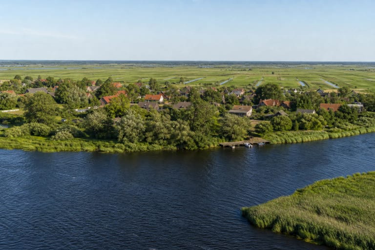
Nemunas Delta Regional Park protects the system of the Rusnė branch and its distributaries, flood meadows and muddy riverbanks. The beach is therefore also an accessible glimpse of a living delta landscape, not merely a place for a towel.
Why official monitored-beach status should not be assumed
The Hygiene Institute's 2026 schedule names the Žemaičių Naumiestis reservoir and a Curonian Lagoon site at Kintai for Šilutė District. Rusnė Beach is absent. The municipality publishes results from that official programme but does not give this Rusnė location its own regularly monitored status.
That does not prove the water is unsuitable every day. It means visitors cannot rely on a regular sequence of official samples as they can at a monitored bathing water. Clear-looking water, other swimmers or an old lifebuoy do not establish microbiological quality.
No reliable current confirmation was found for permanent lifeguards, a marked safe zone or a routinely inspected bottom. Visit it primarily as a riverside recreation area and decide whether to enter the water only after checking current signs and actual conditions.
Delta current, changing water levels and hazards
Rusnė is surrounded by flowing distributaries, not a closed shallow lake. Current, boat wash, sudden changes in depth, vegetation and submerged objects can vary in one location. Never dive or wade where the bottom is unknown.
Šilutė District Municipality reports that water in the Atmata, Skirvytė and Pakalnė can rise, overflow low places and carry ice. Conditions can also change outside major spring floods, as rain, wind and fluctuating levels reshape banks and currents in summer.
Keep children within arm's reach beside the water; rescue equipment cannot replace direct adult supervision. Avoid entering after floods or when you see mud deposits, waste, unusual colour or smell.
A quiet stop on a Rusnė route
Allow 30-90 minutes. Bring drinking water, sun and insect protection, shoes suitable for an uneven bank, and a bag for your waste. Do not assume toilets, changing cubicles, showers or refreshments are available unless signs on site confirm them.
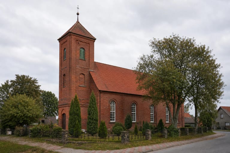
Outside the swimming season, this is simply a short place to sit by the water and observe the delta. Combine it with Rusnė centre, the Lutheran church, the marina or a longer walk on polder embankments. Never swim in marina or navigation areas.
The waterfront is open with no admission or gate. Assess the approach, actual parking place and bank condition on arrival, do not block access and do not drive onto grass or embankments.