- Place
- Rusnė, Šilutė District Municipality
- Region
- Pamarys
- Type
- road infrastructure, bridge, and flood viaduct
- Address
- Road 206 Šilutė-Rusnė, bridge over the Atmata, Šilutė District
- Coordinates
- 55.30170, 21.38150
Bridge over the Atmata, Rusnė Viaduct, Peters Bridge
The road to Rusnė Island across the Atmata
Rusnė Bridge and Viaduct are not only places to drive through. They are infrastructure that makes it very clear that Rusnė is an island and that the road to it depends on the water regime of the Nemunas Delta.
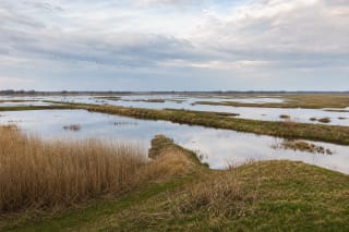
Rusnė is considered Lithuania's largest island, and the only land road to it crosses the Atmata - one of the two branches of the Rusnė River at the town. In the delta the Nemunas splits into the Rusnė and the Gilija, and the Rusnė carries about 78 percent of the annual flow, so water here is never lacking - and in spring there is too much of it.
From ferries to the need for a bridge
For a long time people crossed to the island by boat, and in winter over the ice. In 1792 the authorities granted the bailiff Brandenburg a privilege to run a ferry and set a crossing fee, and in 1824 a second ferry was set up 2 km to the west. In summer, when farmers hauled hay cut on the island, up to 700 carts would line up at the river, and the flow of travellers grew further after the Šilokarčema-Rusnė highway was built in 1873.
The question of a permanent bridge was debated for decades: in 1896-1898 designs for a pontoon and several other bridges were drawn up, but abandoned, because floods and ice drift would have required dismantling them. In 1902 the bridge was discussed in the Prussian Landtag, and in 1911 the Prussian government and the Šilokarčema district council each allocated 200,000 marks for a new design.
The Peters Bridge (1913-1914)
Construction began in May 1913, carried out by the private firm Beuchelt under the architect Knötzelein. The bridge was handed over for use on October 10, 1914. Raised about 8 m above summer water level, with an elegant silhouette and about 350 m long, it was regarded as the most beautiful bridge in the Klaipėda region, second only to the 1907 Queen Louise Bridge in Tilsit.
The opening span that let ships pass was lifted by a special power station built on the bank, whose capacity exceeded the bridge's needs, so the same electricity also lit the homes of Rusnė residents. The structure was named the Peters Bridge in honour of its chief organiser - the Šilokarčema district administrator and former German diplomat in China, Dr. Peters. In October 1944 the bridge was blown up by the pioneers of the retreating German army.
The current 1974 bridge over the Atmata
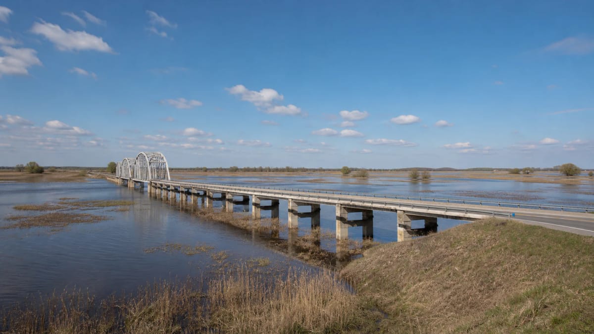
After the war traffic again relied on a ferry for a long time, and the current bridge was rebuilt in 1974 on the site of the former Peters Bridge. It is a reinforced-concrete, multi-span bridge about 332 m long and about 15 m high, connecting Rusnė island with the mainland on road 206 Šilutė-Rusnė.
Although the bridge replaced a structure from the steam-locomotive era, it still solves the same problem - how to reach an island whose approaches are flooded every year. It was precisely for this reason that an additional solution was needed at the bridge in the twenty-first century.
The 2020 viaduct above the floods
The Rusnė viaduct was officially opened on September 18, 2020. According to Via Lietuva, it is 750 m long with its approaches, has two traffic lanes, and rests on 416 driven piles, 64 columns, and 170 deck beams. The project included the reconstruction of almost 5 km of road and about 4.5 km of pedestrian and bicycle path.
The viaduct's most important function is to ensure continuous access during spring floods, when the inundated road used to disrupt traffic and the state spent about 250,000 euros a year moving ferries. The viaduct ended this annual isolation.
How to view it safely
This is an active road, so do not stop on the carriageway or photograph from unsafe places. Choose official stopping or viewing areas and observe the viaduct line from the side.
During floods the view can be impressive, but the most important thing is to follow instructions from road services. The viaduct is not a recreational pedestrian bridge; it is infrastructure that maintains the island's daily connection.