- Place
- Neringa, Neringa Municipality
- Region
- Klaipėda Region
- Type
- Baltic Sea beach in Curonian Spit National Park
- Address
- Pervalka Beach, Pervalka, Neringa Municipality
- Coordinates
- 55.42118, 21.05636
- Visit duration
- 2-4 hours; longer when combining the beach with Pervalka village, a forest walk, or birdwatching
- Best time
- early morning or evening for a quieter coast; during the bathing season check current lifeguard signs and Neringa notices before entering the water
Pervalka Beach, Pervalkos Beach, Paplūdimys prie Pervalkos
Pervalka Beach is on the Baltic coast, not the Curonian Lagoon
Pervalka Beach is on the western side of the Curonian Spit beside the Baltic Sea, not on the lagoon shore. The representative coordinate supplied on this page is 55.4211783, 21.056362. Because this is a long coast stretch, the point marks the visitor area rather than one entrance or the full beach boundary.
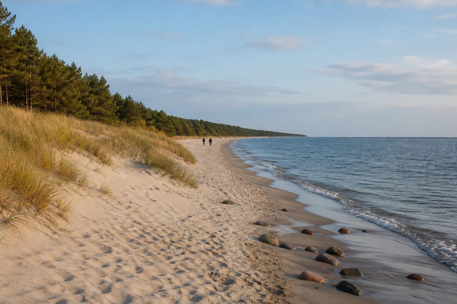
Real place photographs show pale sand, a low grassy dune ridge, pine forest, and an open sea line. Small rounded stones appear near the water, while gaps between dunes can be steeper and sandier than they look from a distance.
The coordinate supplied on this page marks a representative point along the Pervalka seaward beach, not every path across the dunes. Check official Neringa information and on-site notices for current water quality, waves, lifeguard cover, and the condition of your chosen access.
Municipal documents separate the beach designation from one season's services
Neringa Municipality's mayoral order of 30 April 2025, No. V10-201, designated Pervalka Beach for use in 2025. The same document set the 2025 bathing season with lifeguard services from 6 June through 31 August, with lifeguards working daily from 10:00 to 19:00 during that season.
Those dates belong to the 2025 order and are not an automatic 2026 timetable. Check the current Neringa notice, on-site flags, and lifeguard signs before travelling. If current cover is not confirmed, act as if lifeguard services are not available.
The order also approved Pervalka bathing-water monitoring. This matters because the beach designation, lifeguard cover, and sampling schedule are related but not identical: one line in the order cannot replace the others.
Pervalka's coastal recreation zone is a protected dune and forest landscape
The official Pervalka coastal recreation-zone detailed plan examines an area of about 59 hectares in Curonian Spit National Park. It identifies about 8.5 hectares of protective dune ridge, about 9.2 hectares of beach, and about 28 hectares of state recreational forest. These figures describe the planned zone, not a single entrance visible to visitors.
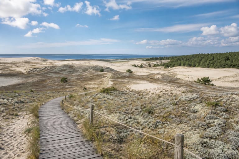
The dune ridge protects the forest and settlement behind it from windblown sand. Climb from the beach to the upper land only on installed paths, steps, or other marked access. A new shortcut through grass is not harmless: it damages the vegetation cover and weakens the dune's resistance.
Pervalka Beach combines quiet recreation, bathing, and planned active-recreation areas. Do not assume that the same rules apply along every section: follow information boards, zone signs, and Curonian Spit National Park requirements.
The main entrance is concentrated around one coastal service centre
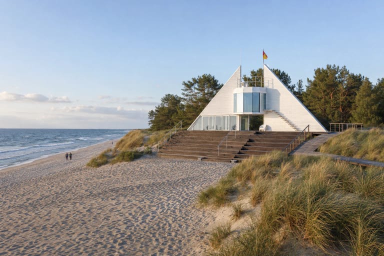
The Pervalka coastal recreation-zone plan describes the main approach from the Smiltynė-Nida road and the regional road from the village. Near the lifeguard post it records a main path, a gravel-surface road to the beach, and a car park of about 80 spaces. Treat this as the detailed plan's description rather than an unchanging inventory of today's parking area.
The plan says the main coastal zone serves about 70 percent of Pervalka beach visitors and that two passenger-bus stops stand by the entrance. Other visitors may reach the beach by a forest road from the southern part of the village, where the plan describes infrastructure as undeveloped.
Choose the marked main entrance when lifeguard cover, toilets, changing cabins, or seasonal services matter to you. The southern forest route may be quieter, but it should not be treated as an equivalent accessible entrance.
Plan time at Pervalka Beach with current safety information
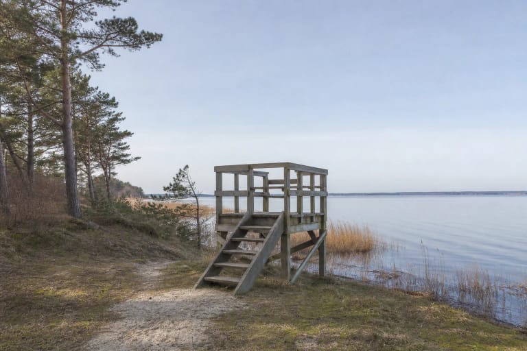
Allow 2-4 hours for a walk, swim, and time beside the water. If you want to visit Pervalka village, the birdwatching tower, or continue into the forest, plan half a day. Morning and evening usually offer more space, but sea wind and waves can be stronger than they feel in the settlement.
Neringa beaches are public, but parking, the Neringa entry charge, seasonal toilets, lifeguard cover, and food services have separate conditions. Check current municipal information before leaving and never park on the dune ridge or at the edge of the forest.
Follow flags, lifeguard instructions, and child-supervision rules on the beach. If the sea is rough, do not wade deeper simply because the beach looks empty. Protect the Curonian Spit by using existing paths, leaving dune vegetation undisturbed, and taking your rubbish with you.