- Place
- Neringa Municipality
- Region
- Neringa
- Type
- open-air display of kurenas fishing-boat weathervanes belonging to the Curonian Spit History Museum
- Address
- Nida lagoon promenade between Naglių g. 4 and Skruzdynės g. 2, Nida, Neringa
- Coordinates
- 55.30641, 21.00762
- Visit duration
- 30-60 minutes for the full waterfront display
- Best time
- in daylight on a calm day; morning or evening side light reveals the openwork silhouettes most clearly
Nida Windvane Exhibition, Exhibition of Windvanes in Nida, Nida kurenas weathervanes
A waterfront open-air museum, not a single object
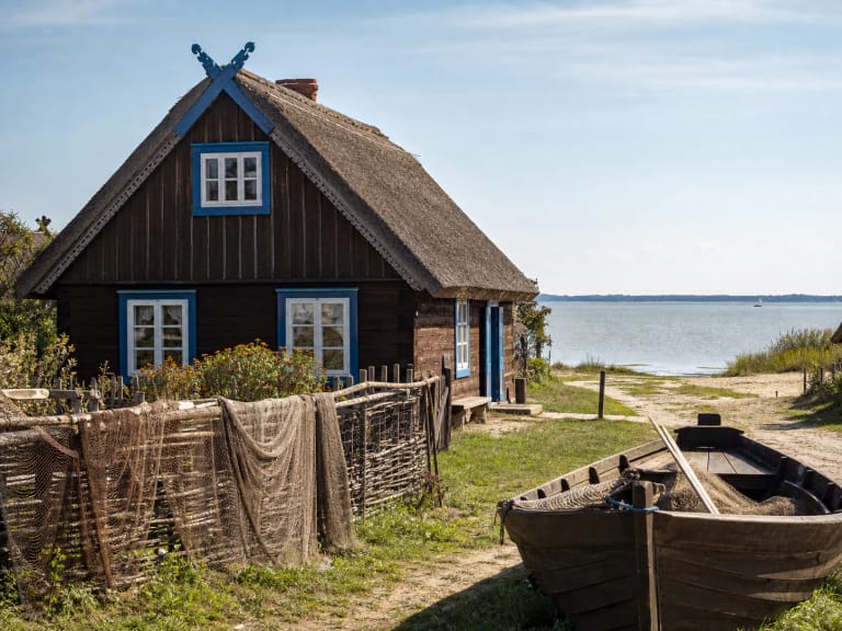
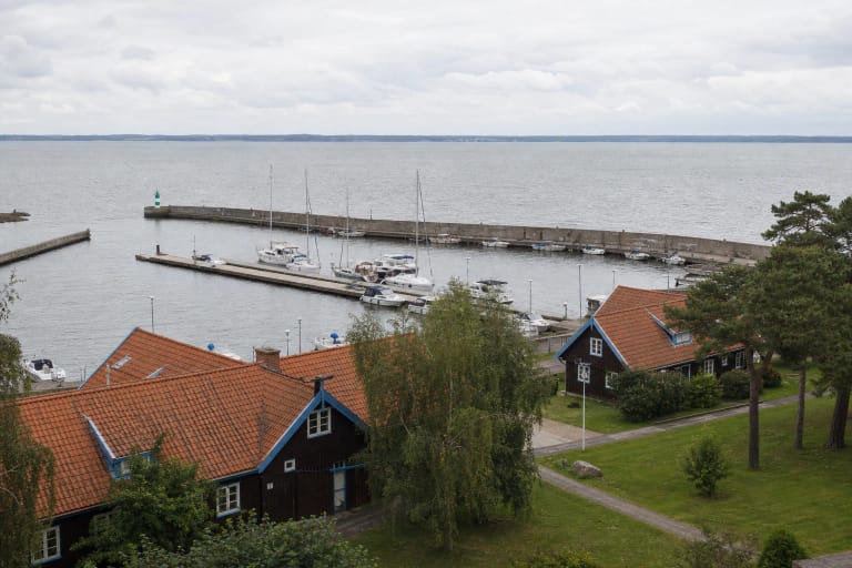
The Nida Weathervane Display follows the Curonian Lagoon from the Fisherman's Ethnographic Homestead at Naglių g. 4 northwards towards the former Hermann Blode hotel at Skruzdynės g. 2. It is a long stretch of promenade rather than a building with one entrance. The map pin on this page marks a representative midpoint, so you can begin the walk at either end.
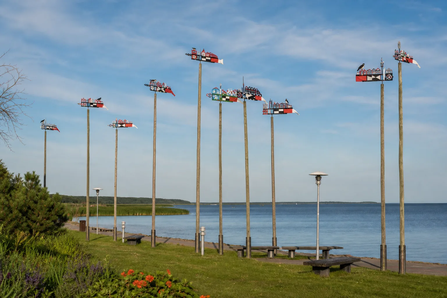
Neringa's official visitor information lists 82 weathervanes belonging to the Curonian Spit History Museum. They stand on full-height wooden masts, allowing the signs to be read as they once were across the water - high against the sky rather than reduced to souvenir size in a display case.
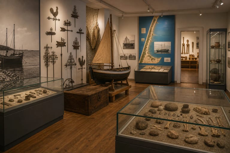
Do not confuse this collection with every decorative vane on a Nida house or with the indoor weathervane panel at the Curonian Spit History Museum. The promenade is a specific modern outdoor display that reconstructs the visual language of Curonian Spit fishing-village signs.
Beerbohm and the 1844-1845 fishing-control system
Kurenas weathervanes began as an administrative tool, not as decoration. The Curonian Spit National Park records that Ernst Wilhelm Beerbohm became chief fishing inspector for the Curonian Lagoon in 1843 and devised a system for marking sailing boats. From a distance, an inspector could identify a boat's village and check whether its crew had crossed the boundary of its allotted fishing grounds.
Neringa Museums gives the precise date of the government order as 26 June 1844. It required a sailing-boat owner to raise a flag two feet long and one foot wide, carrying the colour combination and simple geometric design assigned to a particular settlement. The National Park separately refers to the 1845 rules under which owners holding major fishing rights had to display this special Flagge. The clearest chronology is therefore an 1844 order followed by the 1845 regulatory framework.
Those early markers did not yet resemble today's ornate cut-out woodwork. Neringa Museums mentions sturdy cloth or sheet metal, while the national heritage inventory records metal or wooden boards. In either case, the essential feature was a village code clear enough to read from shore or from another boat.
How to read the colour and geometric code
Begin with the large rectangular panel and its bold geometric pattern. Black and white identified villages on the Curonian Spit, red and white the eastern shore of the lagoon, and blue and yellow the southern shore. The high contrast was functional: the mark had to remain visible across open water.
Each settlement had its own arrangement, so a colour pair alone did not name a specific village. Compare the placement of bands, triangles, crosses, rectangles, and other simple shapes as well as the paint colours.
The houses, boats, lighthouses, churches, birds, plants, hearts, anchors, and celestial motifs above and around the code belong to a later decorative layer. The national heritage inventory connects them broadly with local surroundings, faith, love, and hope, but it is safer not to force every individual motif into one universal dictionary of meanings.
From regulatory marker to openwork woodcraft
Around 1890, fishermen began extending the practical plates with intricate cut-out wooden sections on the windward side and along the top. The official village code remained at the centre, but the state-imposed marker became a more individual account of home, work, belief, and aspiration. Local names included karūna, spalva, vėlukas, and the Lithuanian-German expression valtes flaga.
The Lithuanian Intangible Cultural Heritage Inventory gives unusually concrete dimensions for a traditional vane: 114-116 cm long without the small tail and 40-45 cm high. Oak or ash was used for the frame, while willow or alder suited the lighter pierced work. Remembering that scale helps on the promenade, where an object more than a metre long looks surprisingly small at the top of a full-height mast.
After the First World War, the signs lost much of their regulatory role and were increasingly made for visitors. Their making is now included in Lithuania's Intangible Cultural Heritage Inventory, but the Nida display is a contemporary presentation of a living tradition, not an untouched collection of nineteenth-century boat fittings.
How the present Nida display was created
Neringa Museums traces the idea for the open-air display to improvements made to Nida's lagoon promenade in 1998. The project was developed by Nida-raised architect Ričardas Krištapavičius and his sister, architect Rolanda Krištapavičiūtė. The Universal Lithuanian Encyclopedia also lists the Nida waterfront among Ričardas Krištapavičius's notable projects.
The vanes were made for the display by Vaidotas Bliūdžius of Švėkšna, a builder of traditional sailing boats and a specialist weathervane craftsman. The first group went up in 2004; from 2005 to 2007 the project extended from the Fisherman's Ethnographic Homestead to the former Blode hotel. The full-height masts turn the waterfront into a spatial museum whose exhibits change with the wind, light, and lagoon horizon.
That distinction keeps the history honest: the fishing-control and village-sign system dates to 1844-1845, while the present waterfront installation was created at the beginning of the twenty-first century. It reconstructs and interprets the heritage rather than claiming to be an original installation from Beerbohm's time.
Access and the best way to explore the display
This is an outdoor display on a public lagoon promenade. Neringa Museums does not list it separately in its ticket price schedule or publish museum opening hours for it, so it is normally viewed free of charge as part of a walk. Check the official page before travelling, however, because waterfront works, events, storms, or conservation may temporarily change access or the number of vanes on their masts.
Allow 30-60 minutes for the entire line. The route is largely level and paved, and Neringa's official visitor information describes the display as accessible to disabled visitors, though repairs or bad weather can create temporary obstacles. Keep clear of any maintenance area and do not try to touch or turn the vanes.
The most rewarding method is to compare the signs in layers: colour pair first, geometric village code second, and pierced decorative motifs last. Morning or evening side light makes the openwork easier to see, while a clear day gives the cleanest silhouettes against the lagoon horizon.