- Place
- Kaunas District Municipality
- Region
- Kauno Marios Regional Park
- Type
- non-circular wild forest and Kaunas Reservoir shore route
- Address
- Girionys recreation area, Laumėnai Forest, Kaunas District
- Coordinates
- 54.86284, 24.04401
- Visit duration
- 2-3 hours one way; longer when returning
- Best time
- dry weather from late spring to autumn, avoiding storms and thaws
Laumėnai Educational Route
A 4.3 kilometre route that is not circular
The regional park gives a one-way length of 4.3 km. The official start is the Girionys recreation-area car park at 54.862844, 24.044012; the far end is at 54.882698, 24.062140.
That is the key planning fact. Unless transport waits at the finish, hikers must return, arrange collection, or build a longer connecting route.
Slopes, ravines, and reservoir shore
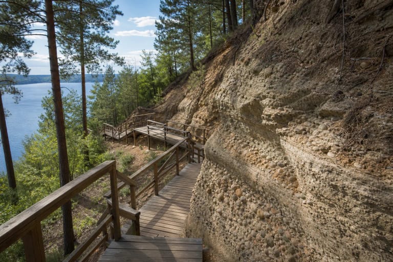
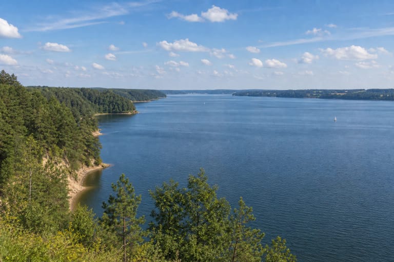
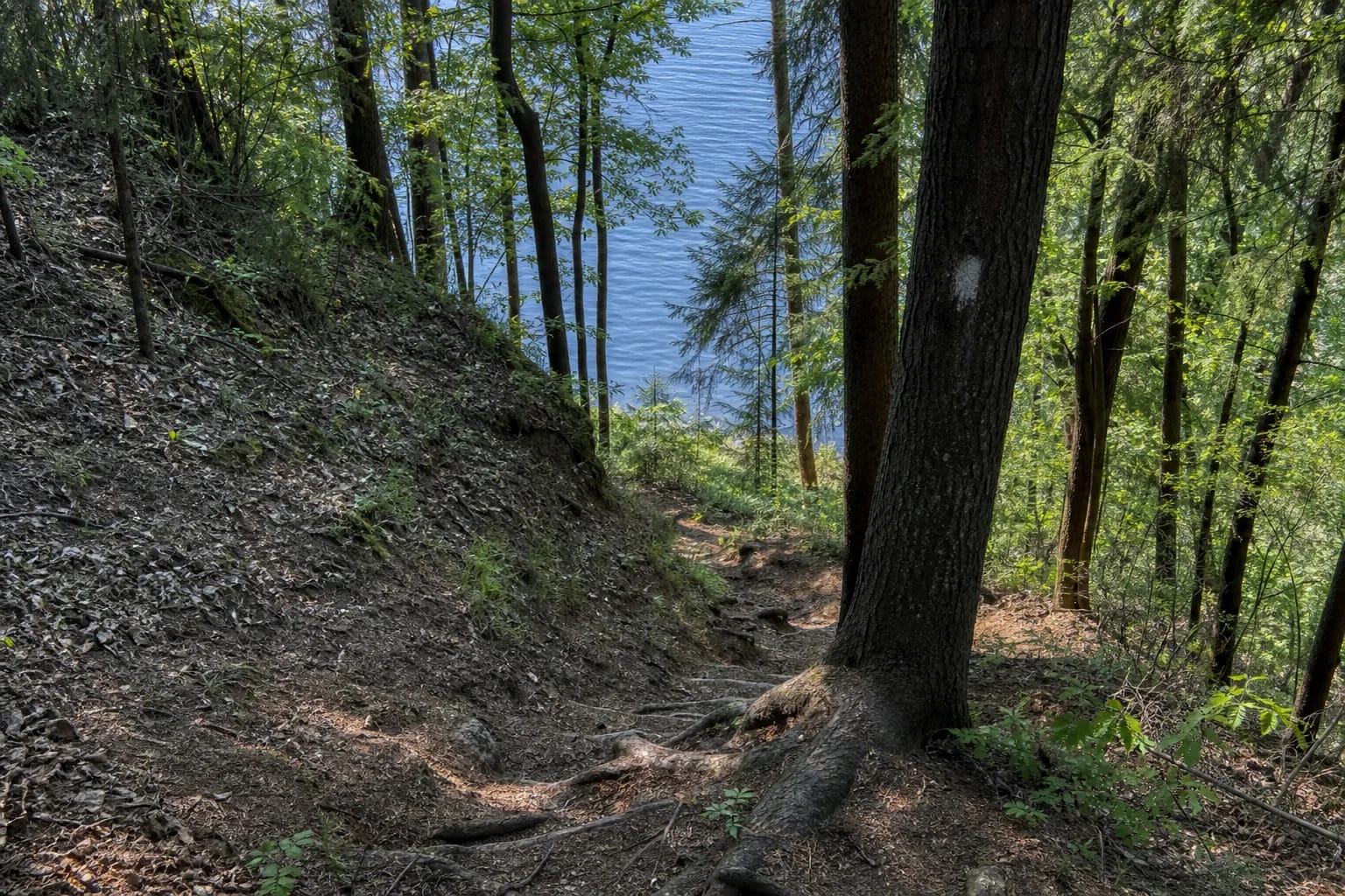
The path crosses natural forest, drops into ravines, and approaches the Kaunas Reservoir. Rain makes clay and leaf-covered slopes slippery.
This is an active hike, not a level accessible walk. Closed footwear, water, and free hands for balance are sensible, and children's ability should be judged by real forest experience.
Tree markings and navigation
Marks on trees indicate direction, yet the authority describes a wild route. Fallen trees, foliage, or an unclear junction can complicate orientation, so carry a charged phone and do not start late.
For a shorter outing, the authority suggests walking from Girionys recreation area to Žaisa Spring and returning on another forest path. This is a local short circuit, not the full 4.3 km Laumėnai route.
A link between Pakalniškiai and Žiegždriai trails
The official description presents Laumėnai as a connection between the Pakalniškiai and Žiegždriai trails. Coming from Pakalniškiai, a wooden footbridge and a sign toward Girionys beach at an unnamed stream's confluence with the reservoir lead along the shore to Girionys recreation area.
The Laumėnai route itself begins at Girionys, where hikers can end one section or continue a longer shore journey toward Žiegždriai. A combined hike needs its own distance, daylight, and return plan.
A safe, low-impact hike
Avoid strong wind, storms, thaws, and very wet periods. Expect fallen timber, ticks, slippery roots, and abrupt shore slopes.
Stay on the established route and take all waste out. Check regional-park notices before departure because wild-trail conditions change quickly.