- Place
- Giraitiškės village, Prienai Eldership, Prienai District Municipality
- Region
- Suvalkija
- Type
- VMU-managed forest recreation area and Nemunas landscape viewpoint
- Address
- Giraitiškės Recreation Area, Prienai Forest, Giraitiškės, Prienai District
- Coordinates
- 54.60280, 24.00329
- Visit duration
- 30 minutes to 1.5 hours; longer if you add a walk in Prienai Forest
- Best time
- a dry day from April to October; the opposite Nemunas slope is easier to see after the leaves fall
Giraitiškės Campsite
An official recreation area and landscape viewpoint
Giraitiškės Recreation Area lies in Prienai Forest, on the left bank of the Nemunas beside Giraitiškės village. VMU calls it the renewed Giraitiškės recreation area, Prienai District Municipality uses the same name, and the protected-area inventory lists Giraitiškės campsite. These names refer to one recreation site rather than two separate clearings.
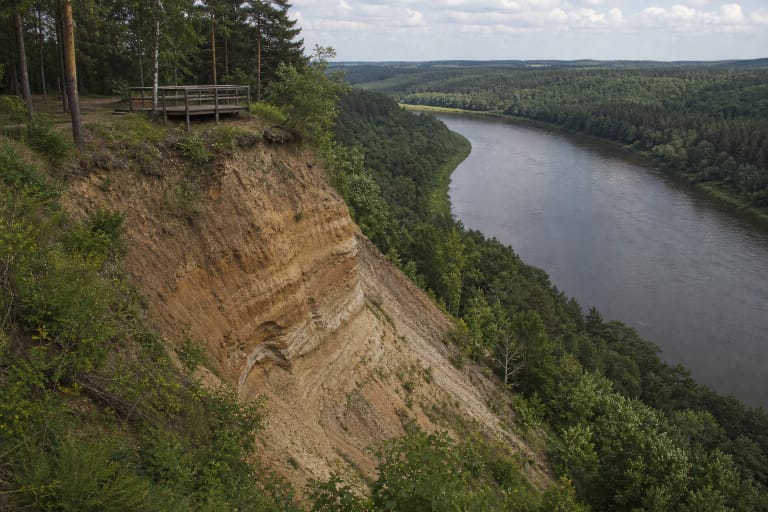
The Ministry of Environment includes Giraitiškės Recreation Area in its list of Lithuania's most valuable landscape viewpoints. That designation captures an essential part of its identity: visitors come not only for a picnic, but also to look across the Nemunas towards the wooded Škėvonys ridge and its exposed bluff.
The coordinates on this page, 54.602802, 24.003286, mark the recreation area itself. Do not confuse it with the Škėvonys Exposure trail and viewpoint on the opposite bank. Giraitiškės shows the face of the bluff across the river, while the geological layers are approached on a separate route from the Birštonas side.
The Nemunas, Škėvonys Exposure, and the shade of Prienai Forest
The defining view at Giraitiškės looks across the Nemunas. On the far bank, the wooded Škėvonys slope rises above the water and reveals patches of pale exposed sediment. River level, foliage, and light continually alter the scene: summer creates a green woodland frame, while spring and late autumn reveal the slope's shape more clearly.
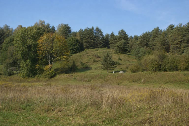
The recreation area belongs to Nemunas Loops Regional Park. The protected-area description values the Prienai Forest landscape for its wooded sandy terraces, fragments of old forest, the natural Vadė stream, and the wetland complex at the headwaters of the Revuona. A single clearing cannot display all those features, but its pines and high-river setting convey the character of the wider protected landscape.
This stretch of the Nemunas is neither an ornamental pond nor a supervised bathing beach. Current, bank gradient, and water level can change, so swimming or allowing children close to the water requires a careful reading of present conditions and local signs. The safest way to understand Giraitiškės is as a forest rest stop and viewpoint.
A forest recreation site developed since 1968
Prienai District Municipality dates the beginning of Giraitiškės Recreation Area to 1968. The first phase introduced basic structures, designated fireplaces, sets of outdoor furniture, toilets, and an information board. This is documented infrastructure history, not a legend about an ancient settlement or ritual site.
The municipal account records gatherings at the recreation area and says its outdoor furniture and equipment were renewed and supplemented over time. In 2026, VMU presented it as a renewed recreation facility under its care. The layout and individual furnishings visible in older photographs may therefore differ from what visitors find today.
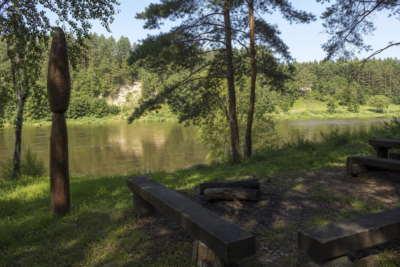
The site's most distinctive markers are paddle-shaped wooden sculptures depicting fish that live in the Nemunas. They retain the modest scale of a woodland rest area while keeping the river at the centre of its story. Do not climb on or carve the sculptures, and leave their surroundings as you found them.
Getting there and building a longer route
Approach Giraitiškės Recreation Area through Giraitiškės village and Prienai Forest. Use the exact site point for the final section, follow current road signs, and assess the forest-road surface after heavy rain or a thaw. Park only in the existing parking area without blocking the forest road or access used for maintenance.
A short visit takes 30 to 60 minutes: walk to the Nemunas, look at the carved fish, and sit beneath the pines. Allow up to 90 minutes or more for a picnic or a walk on the forest roads, but do not create shortcuts or cross sensitive riverbank vegetation.
Škėvonys Exposure appears close across the Nemunas, but reaching its trail requires a lawful river crossing and a separate approach. For a full-day outing, combine Giraitiškės with Birštonas Observation Tower, the Škėvonys ridge trail, Naravai Hillfort, or the Nemunas Loops Regional Park Visitor Centre.
Fires, overnight stays, accessibility, and responsible use
Official sources call the place both a recreation area and a campsite, but the name alone does not guarantee that tents, overnight stays, or fires are permitted on a particular day. Light a fire only in a clearly designated fireplace that has not been closed, and never during a fire-risk restriction. Check the current VMU recreation map and on-site notices before planning to stay overnight.
The official descriptions do not publish a separate ticket office, admission charge, or museum-style opening hours. It is an outdoor facility, but forestry work, flooding, storm damage, or maintenance can cause temporary restrictions. Check current VMU and protected-area information before making a special journey.
Parts of the clearing are relatively level and have outdoor furniture, but no formal accessibility audit for the full approach to the Nemunas was found. Visitors with limited mobility should check the forest-road surface, gradients, and distance from parking in advance. Take all litter away, keep dogs under control, and supervise children closely near the river and high bank.