- Place
- Telšiai District Municipality
- Region
- Samogitia
- Type
- lake in a protected landscape
- Address
- Germantas Lake, Telšiai District Municipality, Lithuania
- Coordinates
- 55.97900, 22.15200
- Visit duration
- 1---3 hours at a chosen shore; half a day when combined with the educational trails
- Best time
- May to September, in dry daylight hours
Germantas, Germantas Lake
A lake west of Telšiai
Germantas is a lake in Telšiai District, about 5.5 km west of Telšiai and south of the Šiauliai---Klaipėda railway. VLE describes it as a lake in its own right, rather than merely the name of an educational trail; this page focuses on the whole water body and its landscape.
The map marker is a representative point at the lake, not a promise of a car park, bathing site, or single trailhead at that exact spot. For a walk, follow the official reserve-trail information and local signs, and leave a car only in a designated place.
A large but shallow lake
Germantas covers 165 hectares. It runs 1.9 km from northeast to southwest, reaches a maximum width of 1.5 km, and lies at an elevation of 159.8 m. Its drainage basin covers 9.5 km².
VLE gives a maximum depth of 5.8 m and an average depth of 2.4 m. This is a broad but relatively shallow lake, whose character is best understood through its varied shores and water reflections rather than from one high viewpoint.
Indented shores with different characters
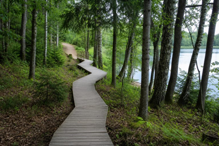
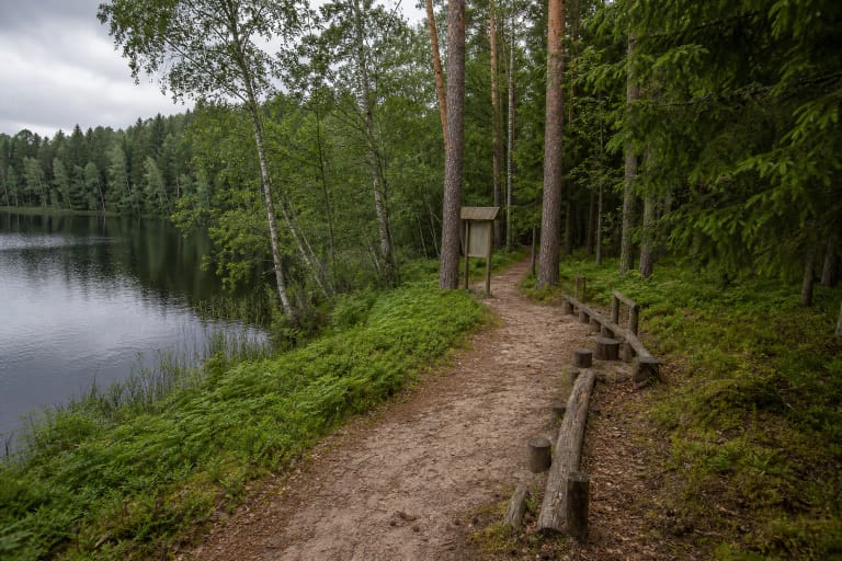
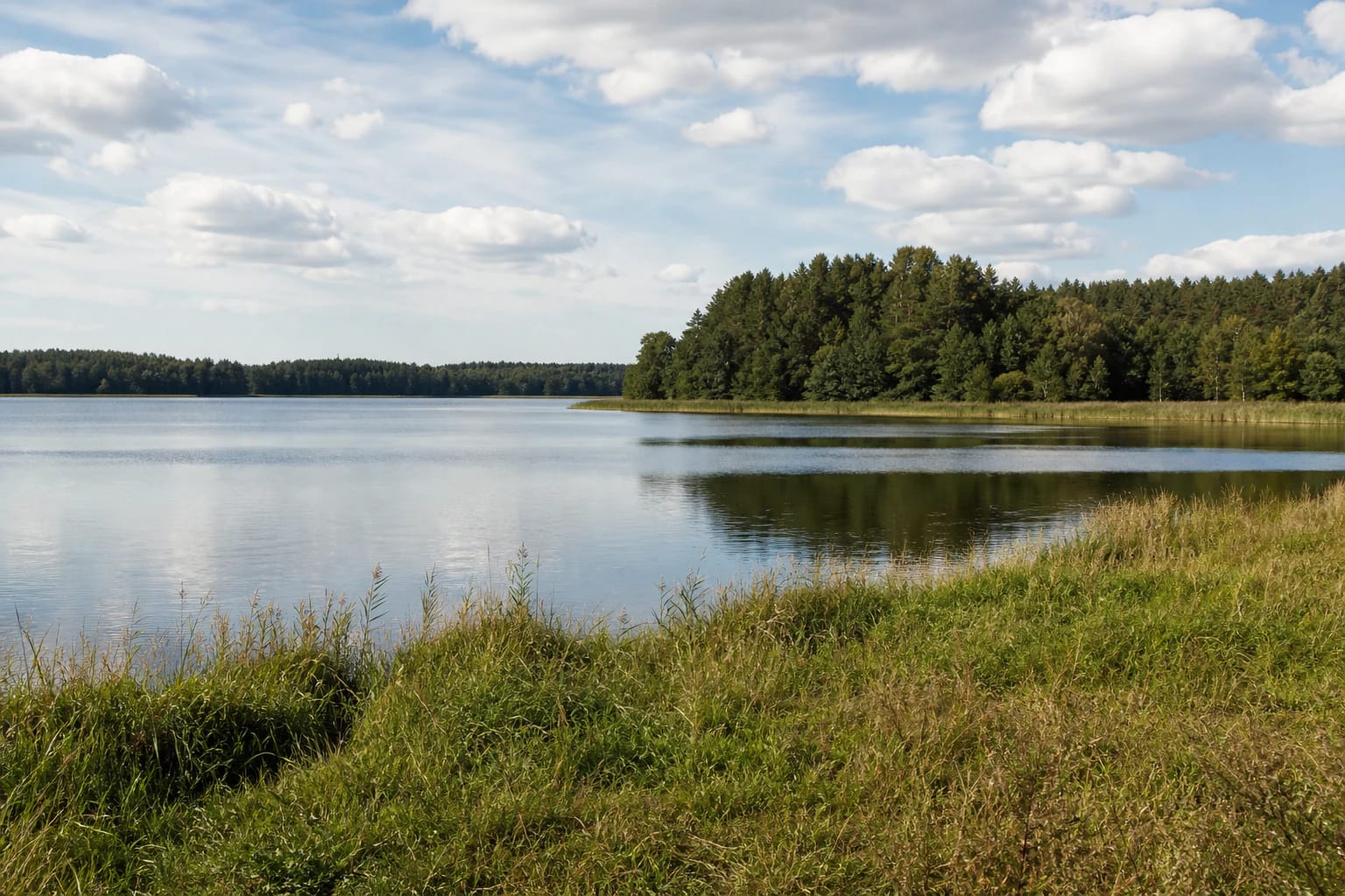
Germantas has a very indented shoreline with peninsulas. The eastern and southern shores rise as high as 10 m in places, while the western and northern shores are lower and locally boggy. One outing can therefore reveal both a drier wooded slope and a low wetland edge.
The shallows are narrow: sand covers most of the water down to 1 m, peat occurs in the north, and freshwater limestone lies deeper down. Aquatic vegetation is sparse, but reedbeds, wet margins, and places without a built visitor route still need to be treated gently.
Islands, inlets, and the Lieplaukė Forests
The lake has two islands. Gelžinupis flows into Germantas, while Germantupis flows out as a right tributary of Lušinė in the Šventoji river basin. VLE gives the lake a through-flow of 88 percent.
Lieplaukė Forests surround Germantas, making the combination of open water and wooded shore more distinctive than dense aquatic growth. Leave room for quiet observation: the forest edge, islands, and shallow shores form one protected landscape.
Germantas Landscape Reserve
Germantas belongs to Germantas Landscape Reserve. Saugoma.lt records that the reserve was established in 1960 and covers 923 hectares; its purpose is to preserve a landscape typical of the Central Samogitian Uplands with a complex of lakes. The reserve lists educational trails at Germantas and Ilgio.
The lake is therefore more than a recreational water body. Follow signs in the trails, shore, and forest, do not widen informal tracks, and do not cross private land. The reserve is best experienced through short, considerate stops rather than by trying to force a walk around every part of the shoreline.
Boating and responsible visiting
The Environmental Protection Department's current Germantas guidance allows non-motorised craft and craft with an electric motor throughout the boating season, while combustion engines are prohibited. Check the latest rules and local signs before setting out because waterbody regulations can be updated.
For swimming, choose a safe and clearly accessible place, check current local information about water conditions, and do not enter reedbeds or approach islands where this is prohibited. Take rubbish home, do not light fires in unprepared places, avoid disturbing birds, and leave the shore as you found it.