- Place
- Didžiasalis, Ignalina District Municipality
- Region
- Aukštaitija
- Type
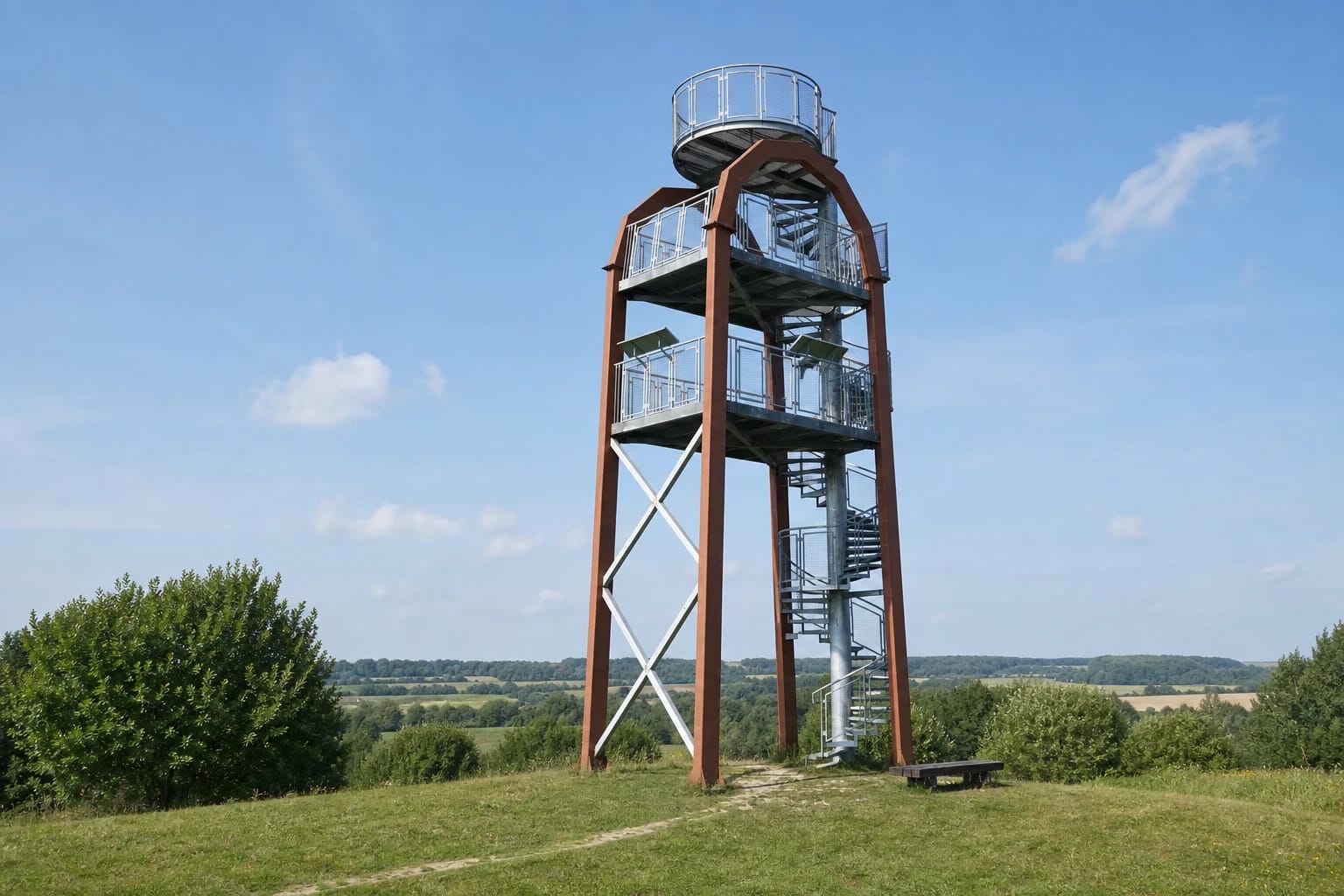
- arch-shaped metal observation tower with an open spiral staircase, built in 2013
- Address
- Didžiasalis village, Ignalina eldership, Ignalina District
- Coordinates
- 55.22923, 26.18420
- Visit duration
- 20-40 minutes; 2-4 hours with Didžiasalis village and other Sirvėta Regional Park sites
- Best time
- a clear, dry day when the village plan and rolling horizon are easy to read; do not climb during thunderstorms, strong wind, or icing
Sirvėta Observation Tower, Sirvėta (Didžiasalis) Arka Observation Tower, Arka Tower, Didžiasalis Arka Viewpoint
This is the small Didžiasalis by road 102, not the settlement near the Belarusian border
The place name Didžiasalis can easily send navigation to the wrong part of Ignalina District. The tower is beside a protected street village in Ignalina eldership that had 46 residents in 2021, about 10 km south of Ignalina on the Švenčionys-Ignalina road. It is not the much larger Didžiasalis near Tverečius and the Belarusian border, not the centre of Didžiasalis eldership, and not the village of the same name in Vilnius District.
The exact marker on the official local visitor listing is 55.229228, 26.184201, while Saugoma rounds it to 55.229, 26.184. This page's pin marks the tower itself on the hill. It does not mark the turn from road 102, an individual parking bay, or guaranteed free space for a car.
Saugoma advises drivers on the Švenčionys-Ignalina road to pass the Ignalina District boundary sign, turn left, and continue on the surfaced access road to the parking area. Both Didžiasalis and Sirvėta are used in the site's name, so the safest navigation check combines the tower name with its coordinates.
The 2013 Arka is defined by metal supports and an exposed spiral stair
Lithuania's protected-areas catalogue dates the tower to 2013. Arka, meaning Arch, is not the name of an older historical structure but a description of the modern frame. Four rust-brown supports bend towards one another near the top, pale diagonal braces remain visible between them, and galvanised metal stairs spiral around a central column.
Official photographs clearly show two rectangular intermediate decks and a circular top platform, all protected by silver mesh railings. The stair and grated steps remain open to view, so climbers can see the ground and the internal frame throughout the ascent. This is not an enclosed tower, a lift-served platform, or a viewpoint reached by a gently graded ramp.
Published height figures do not agree. Lithuania's national visitor portal rounds the platform to 12 m, several detailed tower catalogues give 12.5 m, and some local visitor publications use 14 m. The current Saugoma record does not resolve the difference, so about 12-12.5 m is the most cautious description of the viewing level and 14 m should not be presented as an undisputed platform height. No reliable source found for this review identified the individual designer, structural engineer, or contractor.
The key view is the protected village plan in the Šventelė valley
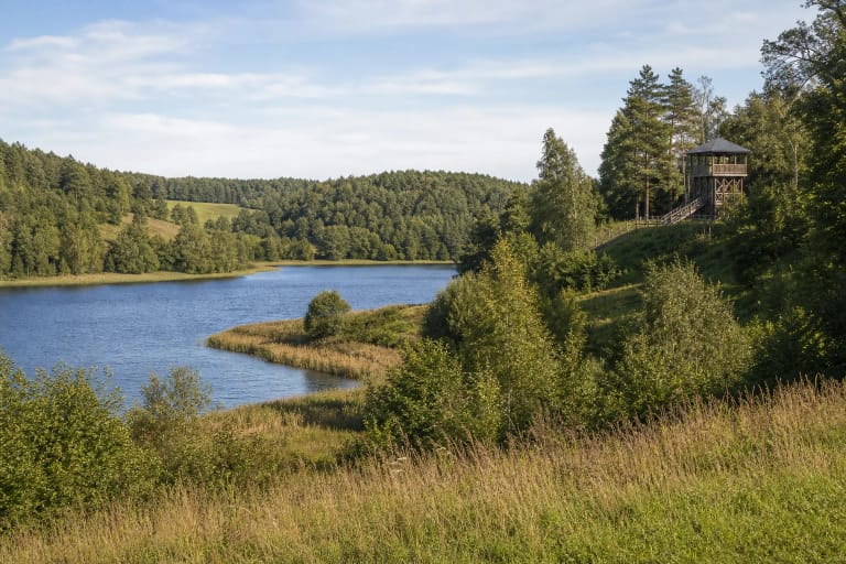
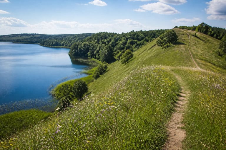
The tower was not placed here solely for a distant horizon. Saugoma specifically identifies the street village of Didžiasalis in the Šventelė stream valley as the principal view, with the rolling landscape reserve of Sirvėta Regional Park opening in another direction. On a clear day, first locate the line of the village road, then follow the rhythm of homesteads, fields, and forested ridges.
VLE records that Didžiasalis became an ethnocultural reserve in 1971. Saugoma describes an 18 ha protected area preserving the planned, spatial, and volumetric structure of a 42-homestead street village, its traditional plot development, architectural expression, and natural setting. The number 42 defines the protected historical structure; it does not promise that every homestead is a museum or survives in identical condition.
At closer range, look for the features described by VLE: irregular homestead layouts, often double-ended farmhouses, granaries with side porches, and traditional timber farm buildings. Didžiasalis remains a lived-in village. After descending, stay on the public road, do not enter yards without permission, and do not treat residents as exhibits.
A surfaced approach does not make this a fully serviced visitor complex
The official Saugoma description says a surfaced road reaches the parking area. That is useful and more current than old travel accounts describing gravel or a difficult approach. It does not, however, publish the capacity of the parking area, a separate coach bay, or a guaranteed turning layout.
Ignalina District's 2025-2034 strategic plan cites a 2024 assessment in which Didžiasalis Tower and Šiliniškiai Tower were the district's lowest-rated visitor sites. The stated problems were poorer transport links, parking, undeveloped infrastructure for disabled visitors, and the absence of toilets. This does not contradict the surfaced road: the road material and a complete set of visitor services are different questions.
Plan this as a short stop without a guaranteed toilet or other services. If the parking area is full, do not narrow the carriageway or block local access. Bring away food packaging and all other waste, because the foot of the tower is neither a campsite nor a staffed visitor centre.
An active official listing is not a 2026 structural-condition certificate
The Aukštaitija Protected Areas Directorate's 2022 report included Didžiasalis Arka among the recreational-infrastructure objects maintained that year. At the July 2026 review, the tower remained in Saugoma's current observation-tower catalogue, and the official local visitor listing had been updated on 10 December 2025. No public closure notice was found.
Those records show that the site is presented to visitors, but they are not a same-day structural inspection. No public 2026 inspection report or guarantee of uninterrupted opening after storms, vandalism, or repair work was found. Read on-site notices first, never bypass a barrier, and do not climb if steps or railings appear damaged.
The viewing decks are reached only by metal spiral stairs, so the upper levels are not wheelchair accessible. A pushchair must also remain below with another adult. Mesh steps and open sides can intensify the sense of height; keep children beside you, and stay off the metal structure during thunderstorms, strong wind, sleet, or visible icing.
No separate ticket is published, and the short climb works best within a Sirvėta route
The official object page publishes no ticket office, compulsory separate admission fee, or gate schedule. Visitors can buy a voluntary protected-areas ticket to support park maintenance, but that is not an entrance charge for Didžiasalis Tower. Check Saugoma and directorate notices before a special journey, because temporary work or closure can appear faster than a general description is updated.
Allow 20-40 minutes for an unhurried climb, view, and descent. Clear morning or late-afternoon light makes the relief and village rhythm easier to read, but do not plan for darkness merely because the structure is outdoors. Binoculars help with village architecture and distant ridges, while a wide-angle lens best captures the Arka silhouette itself.
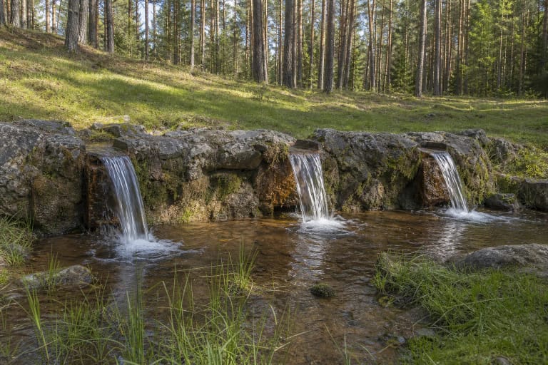
A half-day route can continue to the Sirvėta Regional Park Visitor Centre and Mythology Trail at Šventa, Lino Verdenė Spring, or Kačėniškė Hillfort. Didžiasalis village itself deserves a quiet pass or walk along the public road, but the elevated view does not turn private homesteads into an open-air museum.