- Place
- Vilnius City Municipality
- Region
- Vilnius
- Type
- urban forest park with natural paths
- Address
- Visoriai, Vilnius
- Coordinates
- 54.73972, 25.24372
- Visit duration
- 45-90 minutes
- Best time
- in daylight when the forest paths are dry
Visorių miškas, Visoriai Forest Park
Woodland at the city's edge
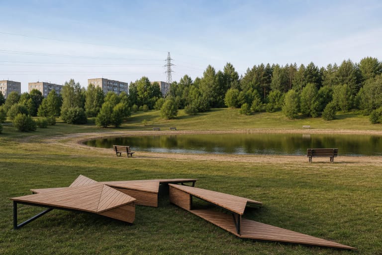
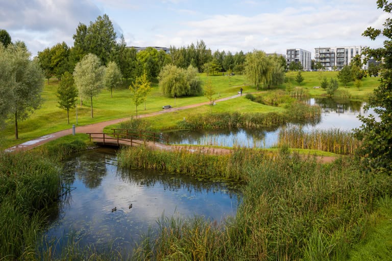
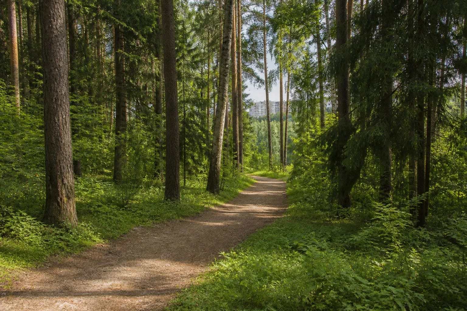
Official Vilnius documents name Visoriai Forest Park as a distinct green area. Tall conifers, birch, undergrowth and winding dirt paths define the experience, while apartment blocks remain only an edge-of-city backdrop.
The point 54.73972, 25.24372 is the park centroid, not an entrance or car park. The broad area has several approaches, so check both the name and your chosen side before setting out.
Not the Visoriai-Bajorai park
Visoriai Forest Park and Visoriai-Bajorai Forest Park are neighbouring but separately named places. The older point 54.74297, 25.2363 belongs to the latter and is deliberately not used here.
This distinction matters on a short walk: the point 54.73972, 25.24372 identifies Visoriai Forest Park rather than the wider woodland belt of northern Vilnius.
An outdoor classroom
The municipal EDU Vilnius platform treats the park as an outdoor laboratory where pupils identify trees, shrubs and grasses. Its value lies in observing a living forest rather than reaching one built attraction.
A 2026 participatory-budget page proposed a dog exercise area. The current status of the exercise area is unclear; follow current signs and city rules for dogs.
Planning a walk
The park is a public outdoor space without a listed ticket or tourist timetable. Visit in daylight and wear woodland footwear: dirt paths can be slippery after rain, while lighting, toilets and fully accessible surfaces are unclear.
Choose closed, weather-resistant shoes because roots and dirt paths can be slippery after rain. As the park has several approaches, plan your route and return point before setting out.