- Place
- Tauragė District Municipality
- Region
- Tauragė Region
- Type
- natural outcrop formed by the Ančia River
- Address
- Ančia valley, northern edge of Skaudvilė, Tauragė District
- Coordinates
- 55.41724, 22.59968
- Visit duration
- 25-45 minutes for a safe approach and observation
- Best time
- dry weather in spring or autumn, when foliage obscures less of the face
Ančia Outcrop
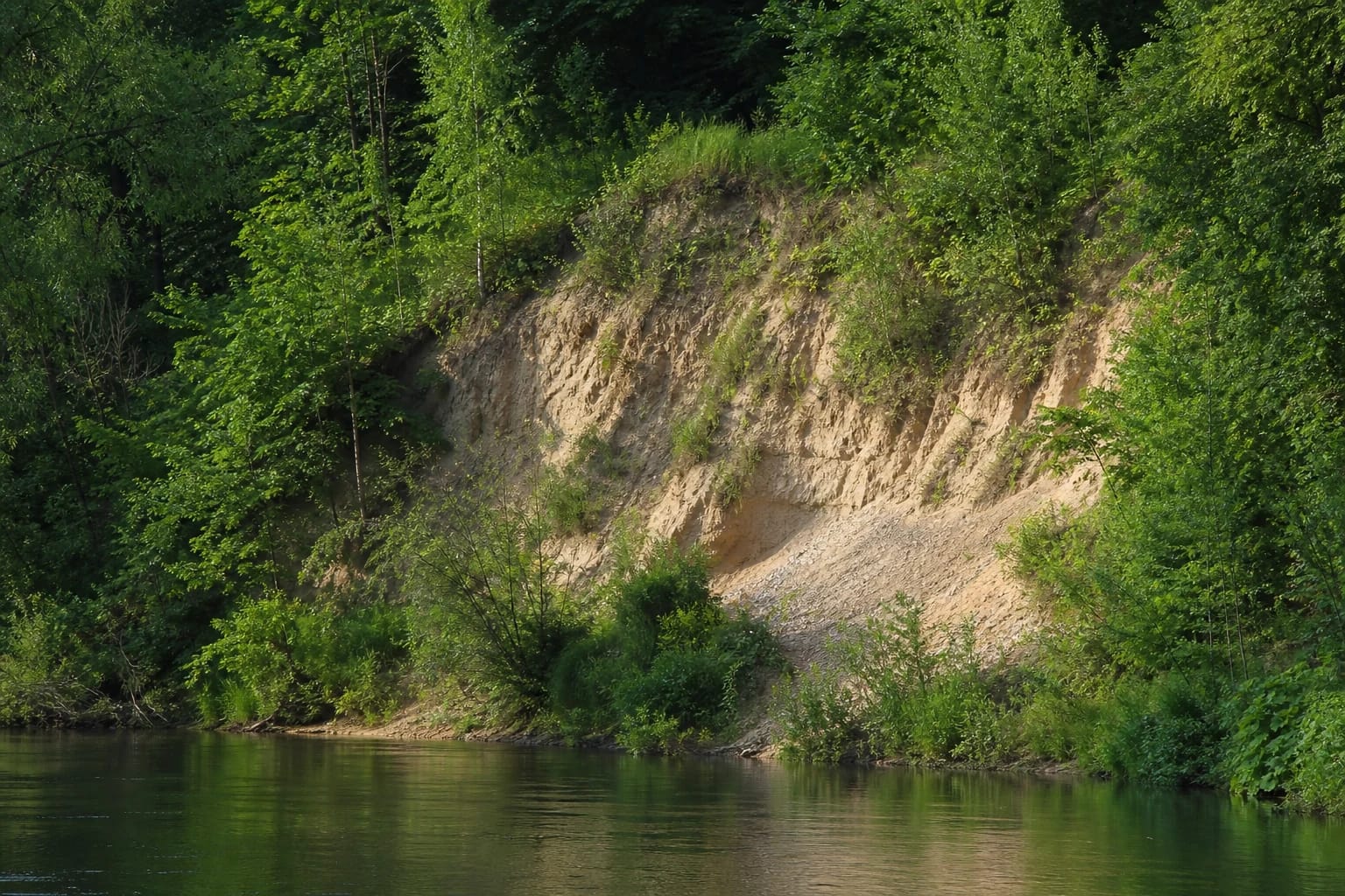
A cliff cut by the Ančia at the edge of town
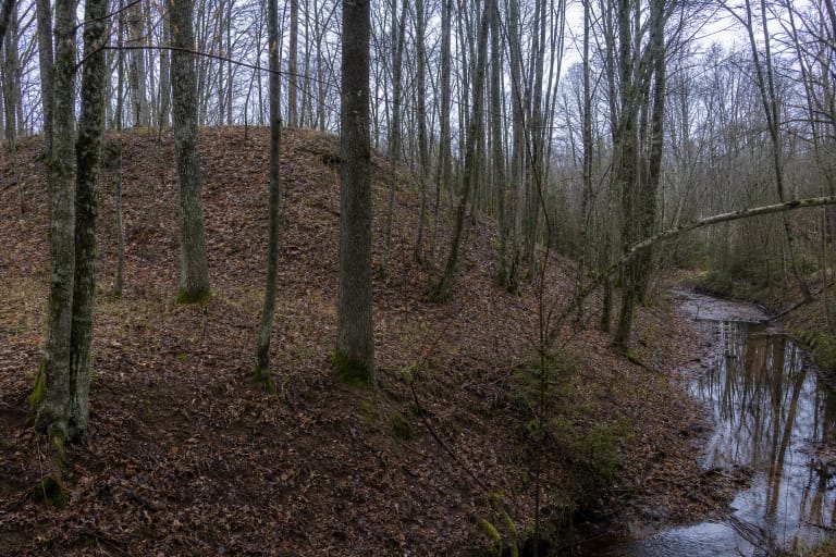
The outcrop lies north of Skaudvilė in the Ančia valley. A municipal landscape study identifies it as a natural feature in the northeastern part of town, while VLE confirms that the Ančia flows through Skaudvilė.
The coordinate matches the OpenStreetMap viewpoint named Skaudvilė Outcrop and linked to its Wikidata item, so pinType is viewpoint. It is not a car park or formal entrance: follow visible paths for the final approach and do not cross private yards or cultivated fields.
Reading the exposed face
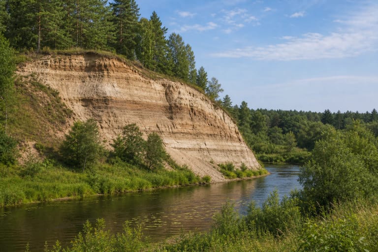
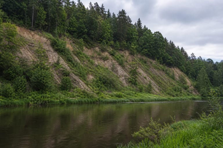
Deposits of differing colour and grain size, including sandy and gravelly material, can be distinguished on the bare face. They became exposed as the river eroded the foot while rainwater, snowmelt and frost loosened the upper slope.
The face is a useful visual example of landscape change, but a photograph alone cannot establish the age or origin of every layer. Do not dig or collect material: it damages the exposure and increases collapse risk.
Why this guide gives no single height
Visitor websites publish conflicting heights and lengths for Skaudvilė Outcrop, and no reliable current official geological survey was found. This guide therefore does not present any of those figures as fact.
An active cliff is not a fixed structure. River flow, precipitation, freezing, slumps and vegetation alter the visible face, so an older photograph may no longer match today's shape or access.
The outcrop is not the same as the Ančia Geomorphological Reserve
The municipal landscape study says that the edge of Skaudvilė adjoins the Ančia Geomorphological Reserve. That is a wider protected valley area and should not automatically be treated as identical to one exposed cliff face.
The Tauragė District plan names Boulder Milžinas, Geniai Outcrop and Pagramantis Outcrop as state-protected geological natural heritage objects, but not Skaudvilė Outcrop. This guide therefore does not call it a state-protected natural monument, though all local protection and land-access rules still apply.
Safe observation without opening hours
This is an outdoor feature without a ticket office or set opening hours. Visit in daylight and dry weather, wear shoes with reliable grip, and keep children and dogs close.
Stay away from the upper lip and do not linger below a steep, freshly crumbled face. The slope can be especially unstable after heavy rain, a thaw or spring snowmelt, when postponing the visit is the sensible choice.