- Place
- Marcinkonys, Marcinkonys eldership, Varėna District Municipality
- Region
- Dzūkija
- Type
- a 13-metre sandy slope above the Grūda valley, former shooting-range site, and natural viewpoint without a tower
- Address
- Grūda valley west of Marcinkonys, Dzūkija National Park
- Coordinates
- 54.06308, 24.37724
- Visit duration
- 30-60 minutes for the viewpoint, stairs, and Grūda footbridge, excluding the approach; 4-6 hours for the complete 13.8-kilometre Zackagiris Trail
- Best time
- a dry, bright spring or autumn day, when lighter foliage opens the view of the Grūda bend; rain can make the sand, timber stairs, and valley meadow slippery
Šaudyklos Hill, Shooting Range Hill
Šaudzyklos is a 13-metre Grūda valley slope and natural viewpoint, not a hillfort or tower
The exact Google Maps listing calls the place Šaudzyklos kalnas, while the standardised form Šaudyklos kalnas appears in some official and other descriptions. Both names refer to the same Grūda valley slope west of Marcinkonys. This page uses the point 54.0630834, 24.3772412 and Google place identifier ChIJk2Li7Z8Z3kYRg5BLvwS9lsA for navigation.
The hill is not an archaeological hillfort, and no observation tower stands on it. The official Zackagiris route leaflet marks it as the trail's second stop. The physical feature is an approximately 13-metre sandy escarpment with a natural viewpoint above it. Hill in the name describes the sharp rise from the valley floor rather than an isolated high summit.
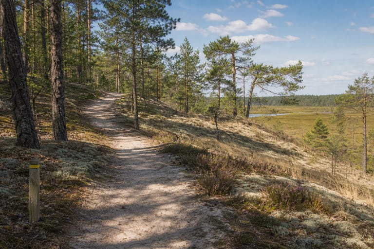
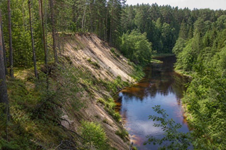
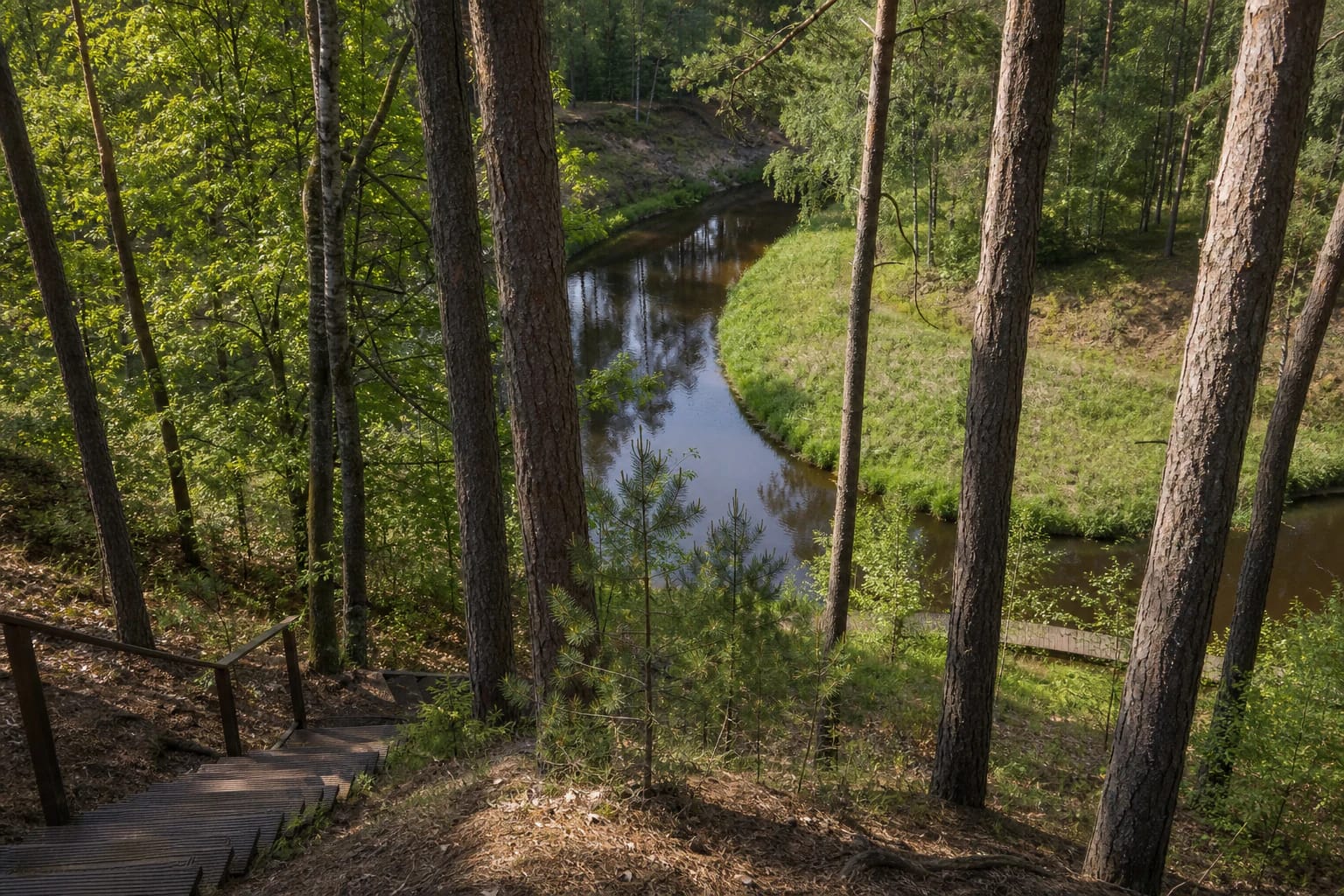
The view is intimate and layered, not a panorama stretching to a distant horizon. Mature pines and younger trees frame a narrow bend of the Grūda, a wet meadow on the inside of the meander, and woodland on the opposite slope. Summer foliage screens part of the river, so the valley form is easier to read in spring or late autumn.
The Grūda erodes the outer bank and leaves a lower wet meadow on the inside of its bend
At Šaudzyklos Hill, the Grūda makes a tight turn. Faster current presses against the outer bank, undercuts the foot of the loose sandy slope, and gradually forces the edge backwards. Water moves more slowly on the inside of the curve, allowing sediment to accumulate and a low wet meadow to persist. The viewpoint reveals both sides of the river's work in one compact scene.
The descent exposes several levels of the valley. Dry pinewood remains above, fragments of the slope and older terraces appear lower down, and a flood-prone meadow with a narrow strip of dark water occupies the bottom. Sand, exposed roots, and tilted trunks are not staged scenery; they show that Dzūkija's light sediment remains mobile.
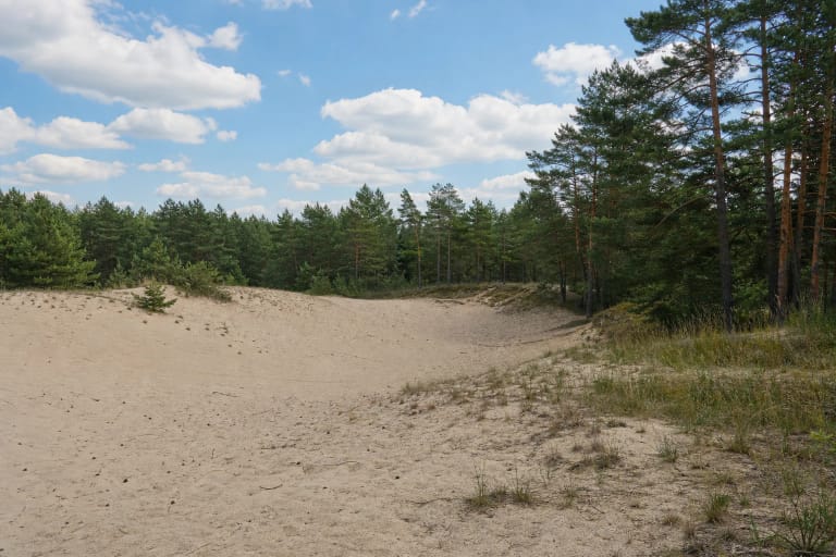
Erosion and vegetation alter the place even without construction. A bare patch of sand can begin to colonise with plants while a newly undercut edge opens elsewhere, and young pines gradually narrow the windows through the canopy. An older photograph is therefore not a guarantee that exactly the same amount of river and meadow will be visible on arrival.
Local memory preserved the former range story, but exact dates and the military unit remain unidentified
VLE records Marcinkonys as part of the Polish-controlled Vilnius region from 1920 to 1939. The official Dzūkija National Park leaflet connects this period with the hill's name, stating that a shooting range was installed during the Polish occupation and later used by Germans. It does not provide a precise construction or closure date, identify a military unit, or cite an archival file.
The park leaflet passes on an unusually detailed local account of the equipment. Wooden rails reportedly ran along the foot of the hill, carrying a small wagon with a moving target, while shooters used a hut at the forest edge. The high sandy slope caught rounds that missed the target. Its shape helps explain why this outer bend of the river valley suited such training.
The same account says village children slid down the sand and searched for bullet lead to use in fishing tackle. This episode should be read as local memory rather than a published archaeological report. Visitors should not dig, disturb the slope, or search for metal today: the site lies within a protected national-park landscape and on an actively eroding, steep descent.
The most reliable approach follows the Zackagiris Trail from the Marcinkonys visitor centre
The official Zackagiris Nature Trail begins at the Dzūkija National Park visitor centre at Miškininkų g. 61 in Marcinkonys. Its full route is 13.8 kilometres, with official 7-kilometre and 10.5-kilometre alternatives. A white square crossed by a red diagonal marks the way. The official map places Šaudzyklos Hill early in the trail's western section.
The exact listing used on this page marks the viewpoint itself, not a car park or vehicle entrance. The visitor centre lies east of the hill in Marcinkonys and provides a more dependable route starting point. Do not drive onto a forest or valley path simply because navigation tries to bring a car to the pin. Park only where legal in the village and plan to cover the final approach on foot.
After the hill, the official map descends into the Grūda valley and crosses a footbridge before continuing west. Even if the viewpoint is the only objective, carry the official trail map or ask at the visitor centre: the short approach is not separately waymarked as a vehicle-access attraction. The complete circuit requires water, footwear suited to sand, and a realistic time reserve.
Steep timber stairs and a footbridge help cross the valley but do not make the site step-free or safe in all weather
Official photographs show a long flight of steep timber stairs with handrails and a narrow footbridge across the dark Grūda. Natural forest floor, sand, roots, and wet meadow remain between and around them. The steps, gradient, and soft surfaces make the route unsuitable for a wheelchair or pushchair and potentially inappropriate for visitors with limited mobility.
Timber becomes slippery after rain or frost, water can gather in the meadow, and the loose viewpoint edge is not continuously protected. Stay on the built path, do not descend the open sand face, and keep away from an undercut lip. Children need close supervision around the top, stairs, and river; a dog is safer on a lead.
National-park trail structures weather and may require repair after storms or floods. If stairs, a handrail, or the bridge appear damaged, do not improvise a detour across the steep slope. Turning around is safer and causes less erosion than trampling a new track.
The hill has no ticket office or published hours; visitor-centre opening times and proposed river facilities are separate matters
Official sources list no admission charge, gate, or opening hours for Šaudzyklos Hill itself. A 24-hour label on Google is not a guarantee of path condition or personal safety, so visit the viewpoint in daylight. On 15 July 2026, this exact card averaged 4.9 out of 5 from 46 reviews. It cleared the 4.5 threshold, but ratings can change.
The separate Marcinkonys visitor centre's official page, updated on 30 June 2026, listed Tuesday-Friday hours of 9:00-18:00 with a 12:00-12:45 lunch break, Saturday 9:00-16:00, and closure on public holidays. Exhibition admission was EUR 2 for an adult, EUR 1 concession, and free for children under six. These are exhibition charges, not an entry fee for the hill or trail; check the official page before travel because hours and prices age quickly.
A 2022 Varėna District water-tourism feasibility study only proposed a rest point here, with an information board, landing, terraced path, outdoor furniture, and an approximately 20-square-metre viewing platform. The study left its existing-equipment column blank. Its drawings and preliminary EUR 54,300 estimate do not prove that all proposed elements were later built. Plan around the conditions found on the official trail, not a project list.