Varėna District Municipality
Varėna District
long Dzūkija National Park route from Marcinkonys
Miškininkų g. 61, Marcinkonys, Varėna District
54.06598, 24.40348
3-6 hours, depending on the chosen option
May-October; in summer start early because of heat and sand
Zackagiris Trail
A long route from Marcinkonys
Zackagiris Nature Trail begins at the Dzūkija National Park visitor centre in Marcinkonys. Official park route data gives a 13.8 km route and shorter 7 km or 10.5 km variants. Dzūkija National Park, established in 1991, is Lithuania's largest protected area of this kind, 58,519 ha, and Marcinkonys is one of its two visitor centres.
This trail needs deliberate planning. It is not a short one-hour route: the full route can take a large part of the day, especially in hot weather or with stops.
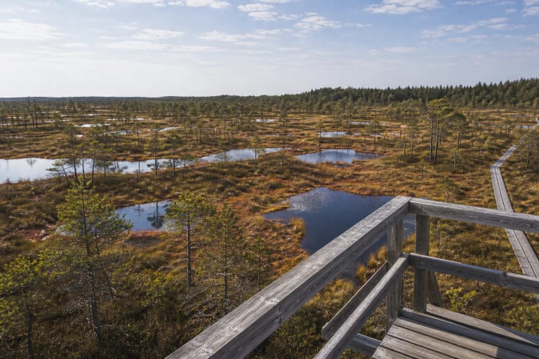
A cross-section of Dzūkija habitats
Zackagiris Trail is valuable because it shows not one object but the whole habitat mosaic of Dzūkija National Park. Route descriptions mention dry pinewoods, spruce stands, wet black-alder woods, Grūda valley meadows, sandy areas, wetlands, and springs.
Research notes identify local names such as Meškos šikna raised bog, Aklaežeris, Gaidžiai or Kloniai Dune, Zackagiris springs, Grūda, and Duobupis. That lets the trail be read as a living lesson in the Dzūkija landscape.
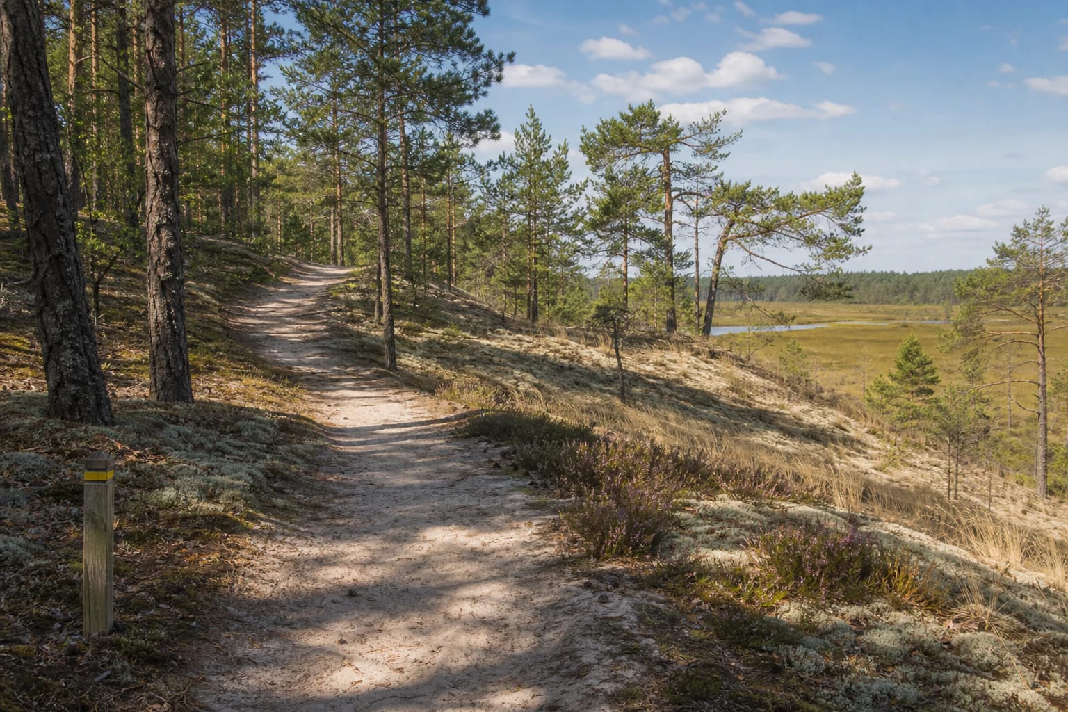
Sand, dunes, and pinewoods
The landscape around Marcinkonys is closely tied to sands and pinewoods. On the trail you often see pale sand stretches, lichens, heather, dry pine stands, and more open clearings.
It is beautiful, but in summer it can be hot. Sand is more tiring than a firm forest road, so for the full route you need water, a hat, and a realistic time reserve.
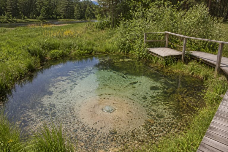
Wetlands and water
Zackagiris is not only dry pine forest. The route touches wetland and damper landscapes, the Grūda valley, springs, and smaller water objects.
After rain, some places can be wet. Footwear should suit both sand and damper forest trail, because Dzūkija trails quickly change surface.
The Marcinkonys cultural layer
The trail begins in Marcinkonys, so it naturally introduces not only nature but also the local cultural landscape. The Dzūkija National Park visitor centre is the best place to check the route, GPX information, publications, or guide options.
This is especially useful if you choose the full 13.8 km option or want to learn more about Dzūkija villages, forest-use traditions, and protected-area rules.
How to choose a route option
If you have less time or walk with children, choose the 7 km option. If you want a more serious but not full-day route, the 10.5 km version works well. The full 13.8 km option is best for visitors prepared to walk longer.
Before starting, check the latest Dzūkija National Park information. Route markings, wetter stretches, or seasonal conditions can change walking pace.