- Place
- Nida, Neringa Municipality
- Region
- Neringa
- Type
- an operating general aviation aerodrome with an asphalt-concrete runway
- Address
- 28 Purvynės Street, Nida, Neringa
- Coordinates
- 55.32732, 21.04499
- Visit duration
- only for a pre-arranged visit or an announced public event; do not plan an independent walk around the aerodrome
- Best time
- in daylight, only by prior arrangement with the operator or during an officially announced public event
Nida aerodrome, Nida airfield, EYNI
An operating aerodrome, not a walking route
Nida Aerodrome is the present-day EYNI aviation site on Purvynės Street, about 4 km north-east of central Nida. Nida remains listed as EYNI, rather than as closed, in the aerodrome section of AIP VFR 80/26, which took effect on 11 June 2026. This confirms the identity of an operating aerodrome, but it does not mean that flights take place every day.
The aerodrome is administered by the public institution Nida Air Park, while the operator's flight instruction states that it belongs to Neringa Municipality. Only daytime VFR operations are permitted. The official entry describes operating hours as on prior request, which must not be read as public visitor opening hours.
The coordinates on this page belong to the exact Google Maps card named “Nidos aerodromas”, with place ID ChIJVVVVxVGW5EYRIdFcpTih6HM. Its average rating was 4.7/5 on 15 July 2026. The pin marks the aerodrome site, not a confirmed entrance, car park or viewing platform.
A 790 m runway between pine forest and lagoon
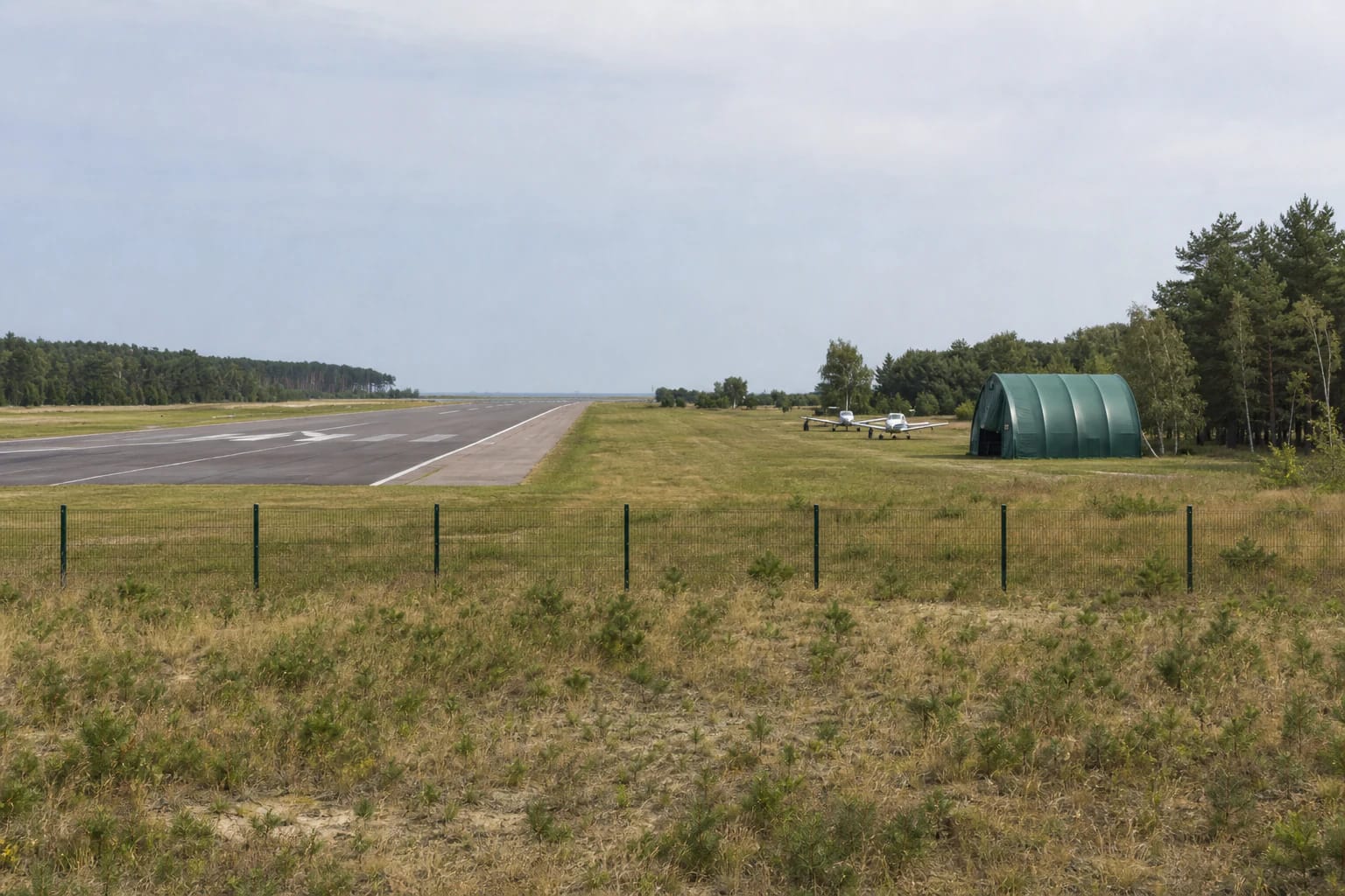
The current aeronautical publication records one asphalt-concrete runway aligned 07/25. Its declared dimensions are 790 by 30 m, with a runway strip measuring 850 by 60 m. The published maximum take-off mass is 5,700 kg.
The threshold for direction 07 is displaced by 290 m. As a result, the full runway length is used for take-off on heading 073 degrees and landing on heading 253 degrees, while the declared length for the opposite operations is shorter. A visitor does not need the performance calculations, but should understand that apparently empty asphalt remains an active manoeuvring area.
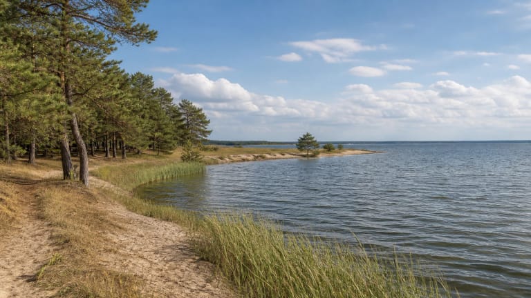
The runway crosses a flat, sandy part of the spit. Dry grass, young pine margins and denser forest surround it, while a low strip of the Curonian Lagoon appears beyond its eastern end. The national park directorate monitors the runway and buildings as well as the condition of the adjacent grey dunes and wooded coastal dunes.
From scheduled links to today's EYNI
Neringa Municipality's sustainable mobility plan dates construction of the aerodrome to 1967. It says flights linked Nida with Palanga, Kaunas and Vilnius between 1970 and 1975. That was an earlier period of scheduled transport and must not be presented as a current passenger timetable.
The same document says that a 1998 reconstruction physically extended the former 600 m runway to 815 m and installed drainage. This historic 815 m figure is not the present declared usable length. The current AIP VFR publishes a 790 by 30 m runway surface and different usable lengths according to direction.
The municipal plan says that the site operated as a field landing area from 2015 and that general flying stopped in 2017 because of border-zone restrictions. The national park monitoring page records a change from field landing area to aerodrome on 3 July 2020, after which general aviation could operate again. Current status must still be checked in the latest AIP and NOTAM, not inferred from that date alone.
Flights require advance preparation
Nida Aerodrome's flight instruction allows legally registered aviation organisations and individuals to use it when they comply with the law and hold permission from the owner or its authorised representative. An arriving pilot must contact the operator in advance and use the latest AIP, NOTAM and all other mandatory flight information.
Nida's ATZ and radio mandatory zone are activated on prior request. The instruction also requires a flight plan when entering or leaving the Nida ATZ and sets radio procedures. This travel page is not an aviation instruction, so anyone planning a flight must rely only on current official documents and directions from the operator.
The AIP entry for Nida lists no fuel, oil, de-icing fluid, visitor hangar space or repair facilities. Landing, aircraft parking and security charges are published, but this does not promise an available stand. The official sources publish no scheduled passenger service or permanent sightseeing-flight timetable.
Fence, gates and safe observation
National park monitoring shows that boundary markers appeared at the aerodrome in 2023 and a metal fence enclosed the site in 2024. The fence separates the operational area from the surrounding landscape. Do not climb it, pass closed gates or treat an unused-looking runway as public space.
Neringa Municipality announced a specific open-gate event called Nidos sparnai for 6 July 2026. A one-off event does not establish permanent visiting hours or guarantee that the same access or programme will be offered again. Enter only with permission from the operator or during an officially announced event, and follow staff instructions.
From outside, the aerodrome can be recognised by its long, low runway, forest margins and lagoon horizon, but the official sources identify no permanent public viewing platform or visitor car park. Photograph only from a lawfully accessible position, keep vehicles clear of gates and do not launch a drone merely because the airspace looks empty. Drone users must separately check current airspace, aerodrome and protected-area conditions.