- Place
- Kupiškis District Municipality
- Region
- Aukštaitija
- Type
- 16.7 ha urban river-valley park with footpaths, bridges, recreation spaces, and public art
- Address
- Kupa river valley in central Kupiškis, 40117
- Coordinates
- 55.83838, 24.98693
- Visit duration
- 45 minutes-2 hours depending on the chosen river section
- Best time
- spring for flowering banks or a calm summer evening
Kupa Valley Park, Kupa River Park
A park that follows the river through town
Kupa Park has no single main gate. It extends along the valley through central Kupiškis and can be entered from several streets and bridges. The map point at 55.8383776, 24.986929 is a useful central reference, not the boundary of the entire 16.7 ha green space.
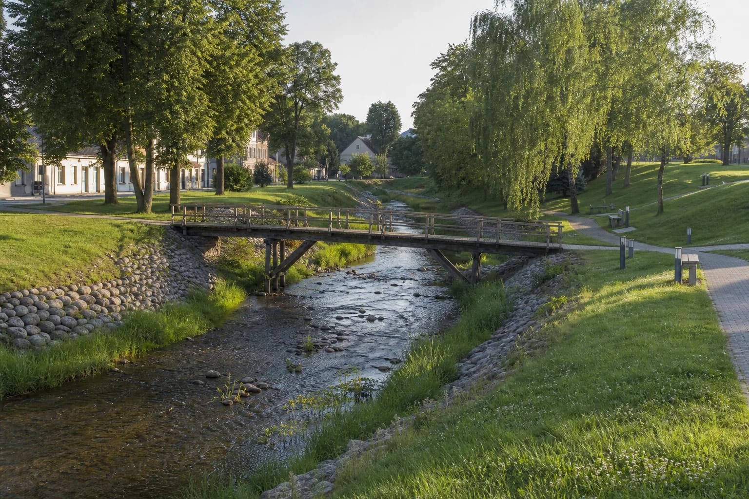
A small river, low banks, timber pedestrian bridges, and urban rest areas define the route. This is a place for a slow everyday walk rather than one spectacular monument, so explore several sections instead of stopping at one pin.
A 25 km river behind the name Kupiškis
VLE records the Kupa as a 25 km left tributary of the Lėvuo, beginning in Vaduvos Forest and flowing through Kupiškis. Its basin covers 173 sq km and much of the channel has been regulated. The park shows how a small watercourse can become an urban organising line.
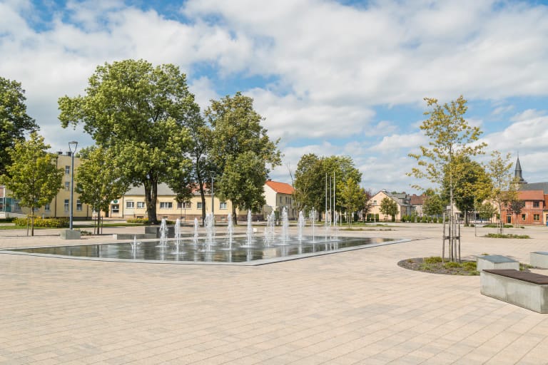
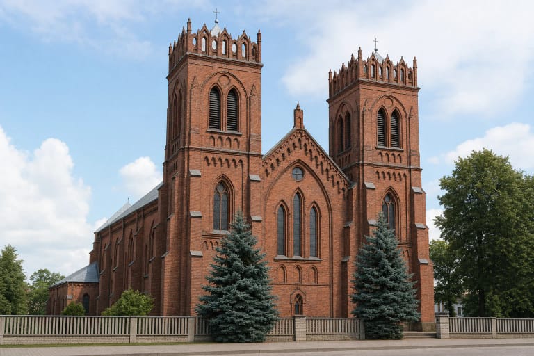
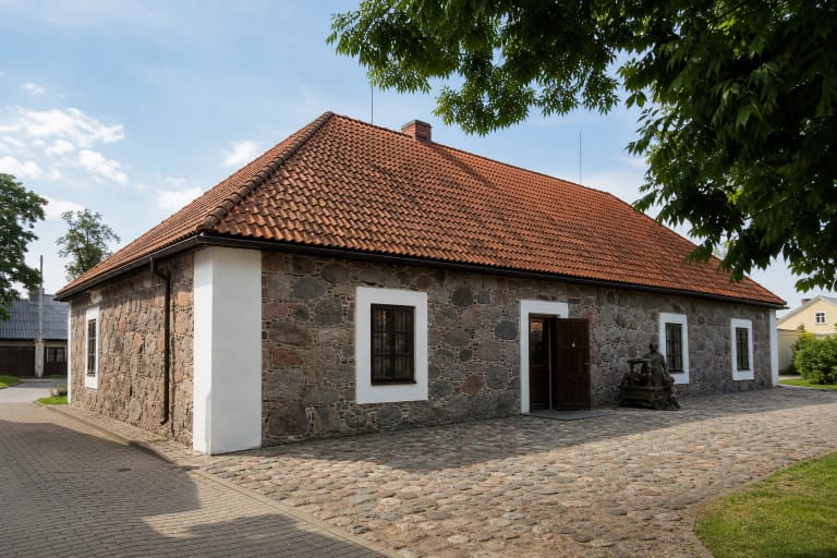
Kupiškis stands at the confluence of the Kupa and Lėvuo. From the valley, walkers easily reach the main square, church, old school now housing the museum, and other landmarks, revealing the town's geography rather than only its planting.
From bank improvements to a sculpture park
The municipal water-tourism strategy says work on the Kupa banks began in 2002. The channel was cleaned, low-value scrub removed, and paths and rest areas installed, turning a utilitarian river corridor into a recreation zone.
Wooden sculpture and other small architectural elements add identity. Works can be renewed or relocated as they weather, so a sculpture in an old photograph may no longer occupy the same point. Discover them by walking rather than relying on an outdated count.
Surfaces, families, and access
Central stretches use landscaped paths and bridges, but lower ground can remain damp after rain and winter surfaces become slippery. Not every river edge is fenced, so supervise children near water and on bridges. Cyclists must slow around pedestrians.
Much of the park is fairly level, yet gradients and bridge approaches are not uniformly accessible. A visitor with limited mobility may find it best to choose one central stretch and return the same way rather than commit to the full length.
A short Kupiškis itinerary
For about an hour, start in the central park, cross several bridges, and continue up to Laurynas Stuoka-Gucevičius Square. With more time, add the ethnographic museum or Church of the Ascension.
The park is free and has no fixed opening hours, but lighting varies. After dark, stay on principal paths, protect bank vegetation, and do not enter the channel or cut across wet meadow for a shortcut.