- Place
- Karklė, Klaipėda District Municipality
- Region
- Seaside Regional Park
- Type
- protected-area visitor centre and exhibition
- Address
- Placio g. 54, Karklė
- Coordinates
- 55.80700, 21.07300
Pajūrio Regional Park Visitor Centre, Karklė Visitor Centre
The best start in Karklė
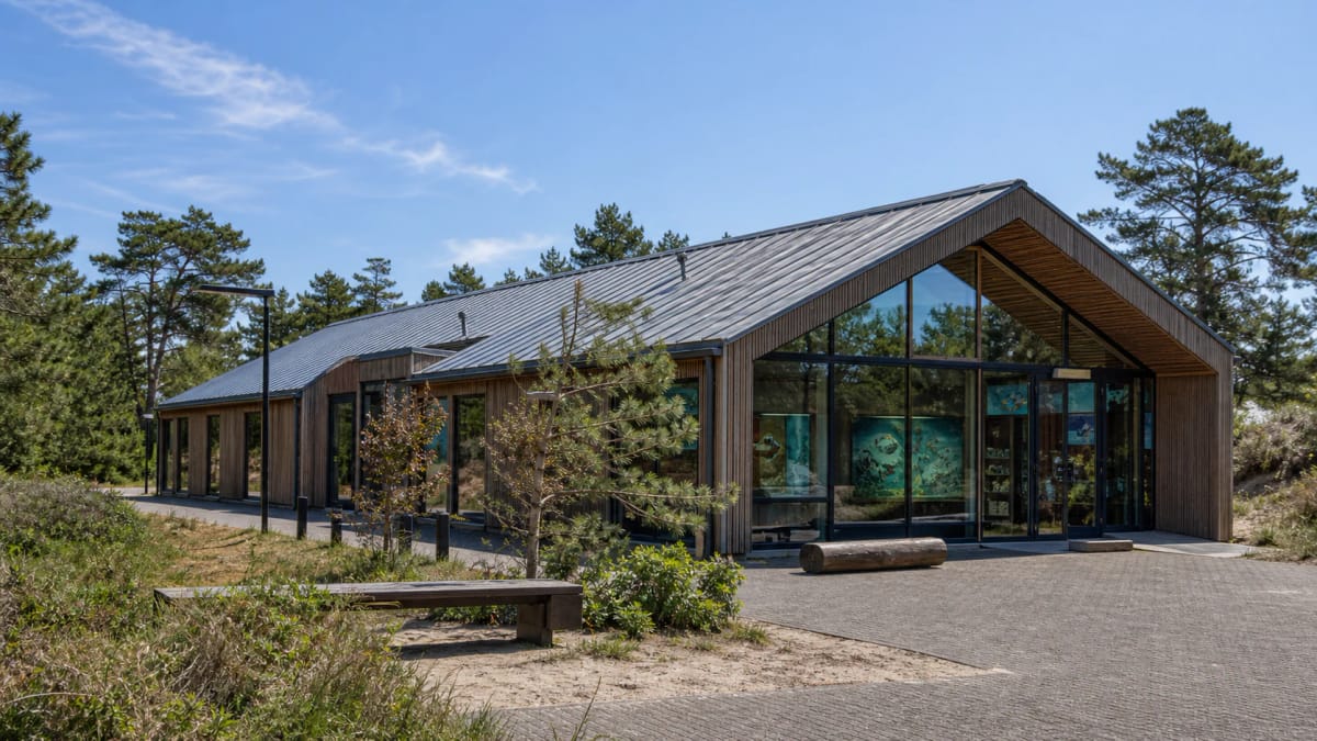
The Seaside Regional Park Visitor Centre is in Karklė at Placio g. 54. It is the most practical place to begin a journey through the park, because in one stop you get not only the logic of the map but also an explanation of why the park protects the very meeting point of sea and land.
Saugoma.lt gives the centre's coordinates as 55.807, 21.073. It is a convenient stop before heading to the Karklė seaside, Olando Kepurė, Kukuliškiai Hillfort, or the Nemirseta trail - the centre provides information about all of the park's visited sites.
Seaside Regional Park: where sea meets land
Seaside Regional Park was established in 1992 and protects the continental stretch of coast between Klaipėda and Palanga, in Klaipėda District and Palanga City municipalities. Its area is 5,865 ha, of which about 3,130 ha is the Baltic Sea and the rest is land; since 1994 the park's marine environment has been protected under the Convention on the Protection of the Baltic Sea.
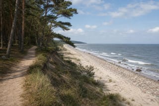
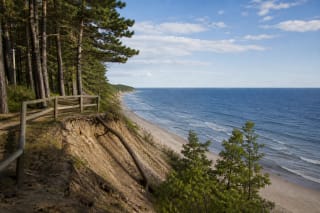
The park's most important natural-heritage site is the eroding clay cliff Olando Kepurė by Karklė (up to 18 m, or up to 24 m by other data). The park has two glacial lakes - Kalotė and Plocis (Plazė) - and its highest point reaches 37.8 m. A glacial boulder field stretches along the sea and shore from Olando Kepurė to Nemirseta.
Exhibition on sea and land
The centre's exhibition theme is the meeting place of sea and land. On entering the hall, a visitor should feel as if underwater: looking up, they see the stylized skeleton of a sunken ship, and ahead a 648 l aquarium with a model of the Baltic Sea nearshore ecosystem by Karklė.
In the exhibition hall you can get to know the park's natural and cultural heritage and the distinctiveness of the continental coast's settlements and trades, test your knowledge of the coast's fish, plants, and animals, and watch a documentary film about the park. You can also buy souvenirs made by local people from amber they have caught in the sea themselves.
The park's natural and cultural treasures
The park protects the ethnographic village of Karklė, the Anaičiai old burial ground, Kukuliškiai Hillfort (discovered in 2016), and the last surviving German-built lifeboat station from the late 19th century. Karklė is an old coastal village, mentioned from 1253; in the 19th century it was the longest village in the Klaipėda region, its homesteads lined up along the shore.
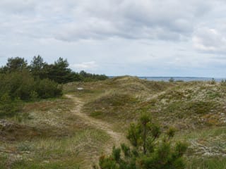
The park also matters for birds: about 140 species have been recorded, 65 of them nesting, and in winter more than 10,000 birds gather in the sea between Karklė and Palanga. It therefore contains several reserves (the Nemirseta, Šaipiai, and Olando Kepurė landscape reserves, the Karklė marine reserve, the Kalotė botanical-zoological reserve, and the Karklė ethnocultural reserve), where dunes, cliffs, and bird habitats are especially sensitive.
What to plan at the centre
At the visitor centre, check trail conditions, parking places, protected-area rules, and seasonal restrictions. Walking and cycling trails run along the coast from Klaipėda to Palanga, along with the Litorina educational trail on the shore of the historic Litorina Sea (2.8 km) and the Nemirseta botanical educational trail (0.9 km).
The centre also works well in poor weather. If the coast is windy or rainy, the exhibition gives the day a meaningful start, and later you can make shorter stops at nearby sites. Because the dunes and cliffs are sensitive habitats, planning at the centre is not a formality.
Opening hours and visitor ticket
At the time of research, saugoma.lt listed seasonal opening hours. Outside the tourist season the centre is open Tuesday-Friday 8:00-17:00 and Saturday 10:00-15:00; in the tourist season (1 April - 30 September) it is open Tuesday-Friday 9:00-18:00 and Saturday 10:00-15:00. It is closed on Mondays, Sundays, and public holidays. This information changes, so check the official pages before going.
A separate exhibition price was not clearly singled out during the source review, but saugoma.lt provides general visitor-ticket information for protected areas. If you plan to visit the centre or use park services, check the current rules on the official page.