- Place
- Molėtai District Municipality
- Region
- Aukštaitija
- Type
- large through-flow lake
- Address
- Shores of Lake Galuonai around Inturkė, Molėtai District
- Coordinates
- 55.15694, 25.51128
- Visit duration
- 1-3 hours on shore; half a day by boat
- Best time
- May to September after checking wind conditions
Galuonai Lake, Galuona
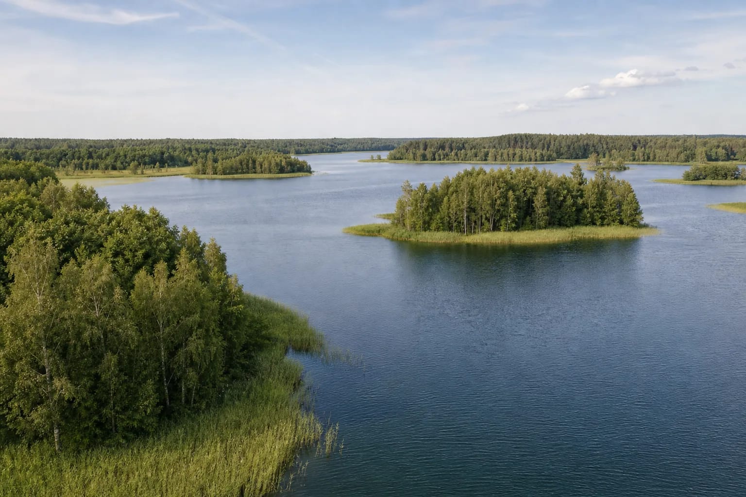
582 hectares and five islands
The encyclopedia gives 582 hectares, length of 6.4 km, width up to 2 km and maximum depth of 17.6 metres. Five islands cover about four hectares.
Banks are mostly low and marshy. A reed margin does not imply permission to drive or camp beside the water.
Gėluotas bay and the Vašuokas channel
The long narrow eastern bay is called Gėluotas. Through the Vašuokas channel it connects toward other lakes, creating a wider water system.
Boaters must account for shallows, bridges, reeds and private shores rather than relying only on satellite imagery.
A lake in the Žeimena basin
Three streams enter Galuonai, which belongs to the Žeimena basin. With annual water exchange estimated at about 64 percent, it is a through-flow lake hydrologically connected with surrounding waters.
Low shores support wetland habitat and birds. Avoid noise in reeds and landings on small islands during nesting.
Special navigation restrictions
The Environmental Protection Department lists special limits for the bay from Maciūniškiai to the Inturkė-Joniškis road bridge, as well as engine and seasonal conditions.
Confirm current rules before launching. The map pin marks the lake centre, not a launch or bathing place.
Laputėnai bathing place is a specific shore reference
Molėtai District Municipality reports that work at the Laputėnai bathing place on Lake Galuonai was completed in October 2025. Reeds were removed with their roots, silt was cleared, sand was brought in and levelled, and grass was sown on the shore.
The bathing place offers a specific legal shore reference that the lake-centre pin does not show. Check current water quality, site condition, and access before travel; a completed-project notice does not itself guarantee every facility or continuous maintenance.