- Place
- Molėtai and Utena District Municipalities
- Region
- Aukštaitija
- Type
- long protected glacial channel lake
- Address
- Shores of Lake Aisetas in Molėtai and Utena districts
- Coordinates
- 55.30889, 25.74028
- Visit duration
- 1-3 hours for one shore; a day for a longer paddle
- Best time
- a calm morning from May to September; wooded shores are vivid in autumn
Aisetas Lake
A long narrow lake cut by meltwater
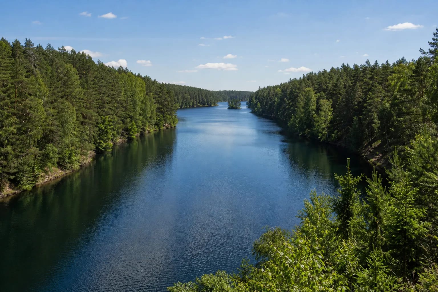
The encyclopedia gives an area of 501 hectares, length of 16 km and maximum width of only 0.6 km. Depth reaches 40 metres and the shore runs for about 41.5 km.
A glacial meltwater channel formed these proportions, making Aisetas resemble a wide river through forest more than a round open lake.
The 40-metre maximum lies in the eastern part near Gatakiemis, while mean depth is 10.4 metres. The foreshore and belt of reeds and club-rushes are narrow, so visitors should not assume a long shallow shelf along every shore.
Steep banks and five islands
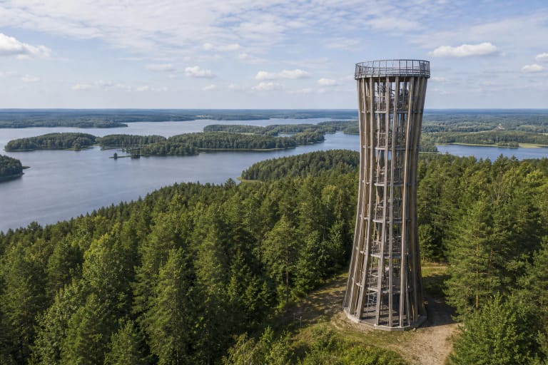
Wooded shores commonly rise 8-15 metres. Five small islands total about 1.8 hectares and act as visual markers rather than large recreation grounds.
In the north, a roughly 200-metre strait links Aisetas to Lake Galuonis, while the Alnė enters from the west. The Aiseta leaves the south-east for Lake Kiaunas within the Žeimena basin.
A protected Labanoras landscape
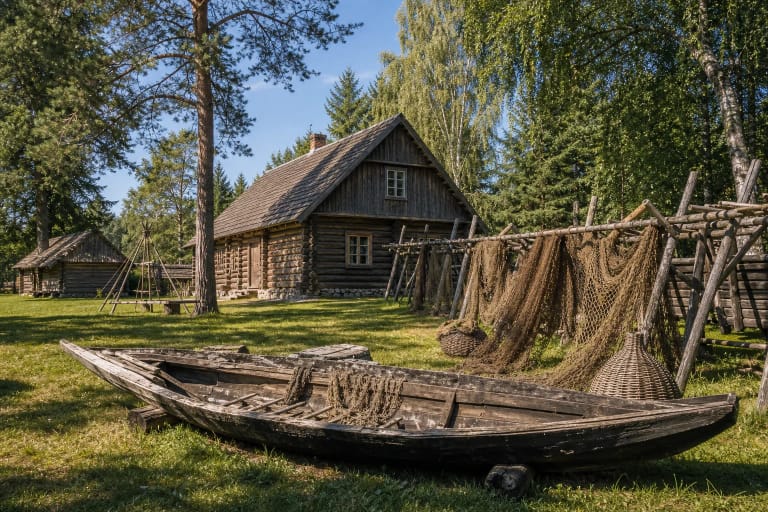
Aisetas lies within Aisetas Landscape Reserve in Labanoras Regional Park. The reserve protects its pronounced complex of peninsulas and islands, characteristic Aukštaitija communities, rare species, and the ethnographically valuable village of Pašekščiai.
Quiet bays and shore vegetation are sensitive to disturbance. Do not treat private jetties as public stops, avoid nesting islands, and light fires only at managed sites.
Three officially listed access points in Utena District
Utena District's official list names recreation sites at Paisetė and Pajuodenė, plus a recreation and camping site at Antakalnis in Saldutiškis Eldership. These are more useful journey markers than the lake-centre pin.
The list does not guarantee the present condition of the road, parking, or facilities. Choose one site before travel, check current municipal or park information, and never cross a private shore.
Check fishing permits and motor restrictions before travel. Wind can follow the long channel, and any extended route needs a planned return.
Water is monitored at Paisetė, Antakalnis, and Pajuodenė
Utena District bathing-water monitoring includes the Aisetas recreation sites at Paisetė, Antakalnis, and Pajuodenė. Results published on 3 July 2026 for samples taken on 22 June met hygiene requirements at all three.
One good sample does not guarantee the whole season. Check the municipality's latest notice before swimming, assess algae, wind, and visibility on site, and supervise children closely because the shallow shelf is narrow.