- Place
- Kairiai Eldership, Šiauliai District Municipality
- Region
- Šiauliai Region
- Type
- a lake and open agricultural landscape beside Gudeliai
- Address
- Gudeliai village, Kairiai Eldership, Šiauliai District, Lithuania
- Coordinates
- 55.88722, 23.45167
- Visit duration
- 1-3 hours; longer for a slow shore walk or a route through Kairiai-area sites
- Best time
- May to September; a drier, less windy day is more convenient in this open landscape
Gudelių Lake near Kairiai, Gudelių Lake, Gudelių bathing site
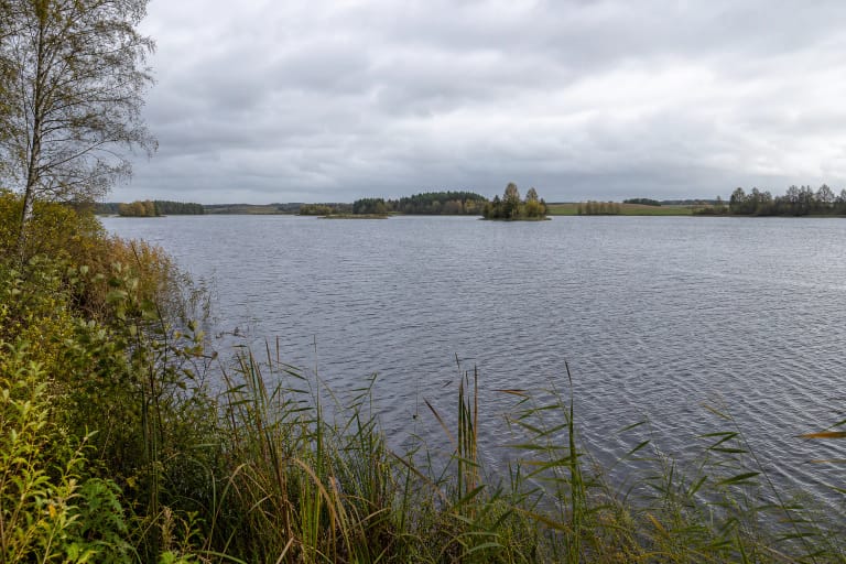
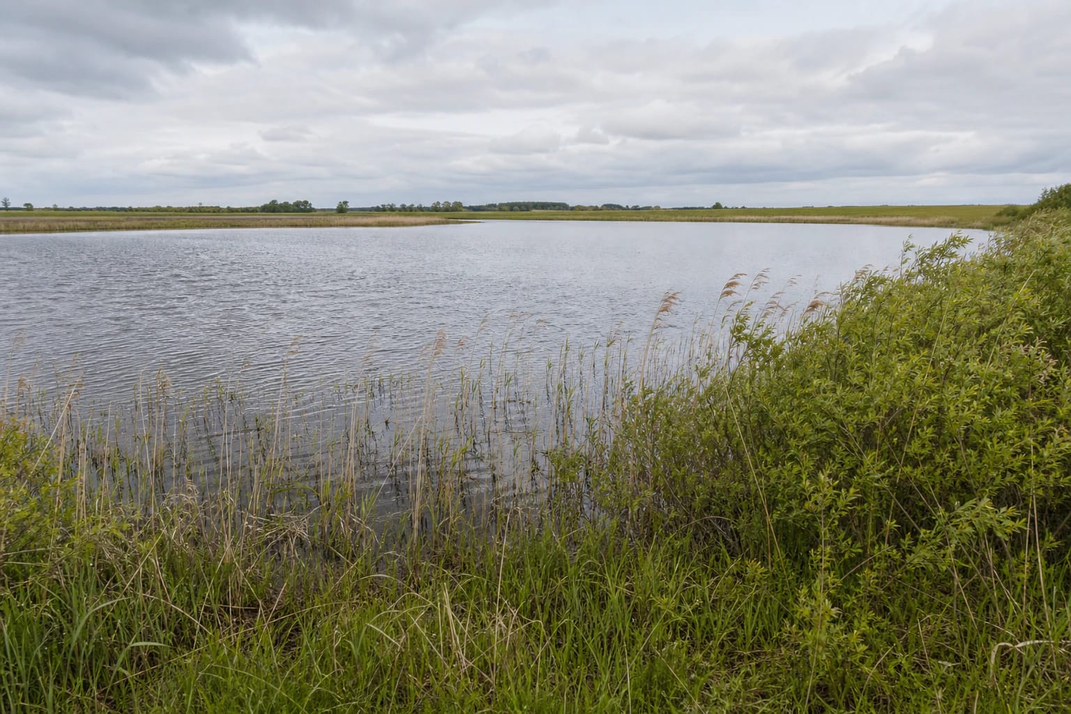
Gudelių Lake in the open Kairiai landscape
Gudelių Lake lies in Kairiai Eldership, Šiauliai District, about 3 km south of Kairiai, near Zokniai Airfield and the Radviliškis District boundary. Gudeliai village sits on the northern shore, while open fields dominate the surroundings more than woodland.
The coordinates 55.88722, 23.45167 are a representative lake reference, not a promise of a particular beach entrance or parking place. Plan the final kilometre around public roads, signs, seasonal conditions, and access used by local residents.
Gudelių Lake is appealing because of its simple combination of open water and sky rather than developed facilities. The wind is more noticeable here than in a forest, so bring both sun protection and a warmer layer.
An almost round lake and the Kruoja headwaters
Tourism information describes Gudelių Lake as almost round, shallow, and set in easy, level terrain. Reeds, rushes, and low shrubs line parts of the shore, so the water is not equally convenient to reach from every side.
The Kruoja, a tributary of the Mūša, flows out of the eastern side. This is an interesting hydrological marker, but the outflow and wetter shore are not automatically suitable for wading, close-up photography, or wheelchair access.
There is no large forest around the lake to provide constant shade or shelter. After rain, field roads and fishing paths may be muddy; on a dry day, tall grass and reeds can hide hollows and soft ground.
The shore walk is not a built educational trail
An earlier circular walk described by the Šiauliai Tourism Information Centre covered about 10 km around Gudelių Lake via field roads, fishing paths, and occasional off-road sections. It gives a useful picture of the landscape but is not a guarantee of a permanent, waymarked trail.
If you want to walk a larger part of the shoreline, prepare for changing field roads, grass, wet stretches, and shrub-covered sections rather than a level, accessible path. Check that the chosen section is not private land or closed for agricultural work.
You do not need to complete the whole loop for a good visit. A safer and more enjoyable option may be a lawful shore point where you watch waterbirds, find the direction of the Kruoja, and return the way you came instead of widening an improvised track.
Swimming and fishing have their own rules
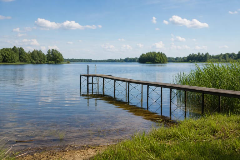
Gudelių Lake appears in Šiauliai District bathing-water quality information. Check the municipality's latest notice before swimming and choose a specific bathing place in use, because not every reedy shore is a beach.
The lake is shallow, but that does not mean the bottom or bank is uniform and safe. Wear suitable footwear when entering the water, never jump from an unfamiliar shore, supervise children, and avoid areas blocked by fishing gear or dense plants.
Limited fishing conditions have applied at Gudelių Lake. Plan fishing only according to the rules, permits, and responsible manager's information in force at the time; a public lake name does not by itself grant permission to fish anywhere or at any hour.
A practical Gudelių Lake stop
Allow one to three hours for a shore outing. That is enough to reach the water, spend quiet time in the open landscape, take photographs, and, if conditions allow, walk a short section. A longer loop needs good footwear, water, and a backup return plan.
Park only lawfully, never on a field, grass, or fishing road. Do not block private approaches, cross crops, or treat an event meeting point as permanent visitor infrastructure unless the place clearly says that parking and access are allowed.
Gudelių Lake combines well with Bubiai Reservoir, Kairiai Beach, Bijotė Lake, or Girnikai Hill. The route stays varied even when wind, wet shore, or farm activity shortens the walk by the water.