Plungė District Municipality
Samogitia
educational trail through a glacial esker landscape
Gardai, Plungė District, near Žemaičių Kalvarija
56.12930, 21.99601
30-60 minutes; longer with a Žemaičių Kalvarija route
spring-autumn, when the slope is comfortable and the relief is easy to see
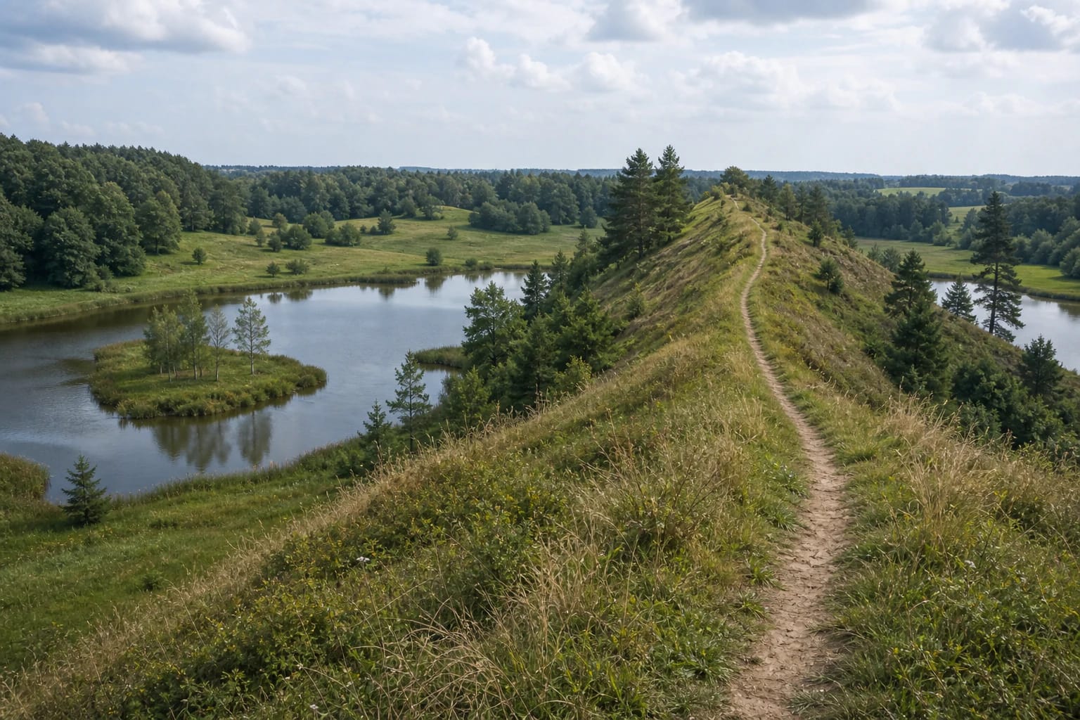
Gardų ozas
Gardų ozas: a trail on a glacial ridge
Gardų Ozas Educational Trail is short but geologically clear. It lets visitors see an ozas, or esker: a narrow elongated glacial ridge that stands out in the landscape as a long raised line. The trail is laid out on the largest and most impressive esker in Samogitia and is considered one of Lithuania's most expressive landforms.
According to Žemaitija National Park, the trail is about 1 km long, has a gravel surface, and lies 4.4 km from Žemaičių Kalvarija town and 25.6 km from the park directorate visitor centre in Plateliai. It is a convenient short stop, especially if you want to see not only lakes or forests in the national park but the shape of the land itself.
What an esker is and how it formed
An ozas, or esker, from Swedish ås meaning ridge, is an elongated ridge of gravel, sand, and other sediment formed by glacial meltwater. The sediments of Gardų ozas were laid down inside the glacier, in meltwater channels, about 12,000-13,000 years ago, so the trail shows how waters flowing under or along the ice shaped the earth surface.
Gardų ozas is especially useful for learning because you can walk along it and see the slopes close up. It is not a theoretical geological term on a map; the landscape is literally under your feet.
A 3.5 km ridge by the Varduva
Žemaitija National Park says the complex, semicircular Gardai Esker embankment extends north-west for 3.5 km from the Varduva River in Žemaičių Kalvarija, and in places rises 10-15 m from the foot to the highest ridge crests. That scale is enough for the relief to be clearly felt, while the route remains easy.
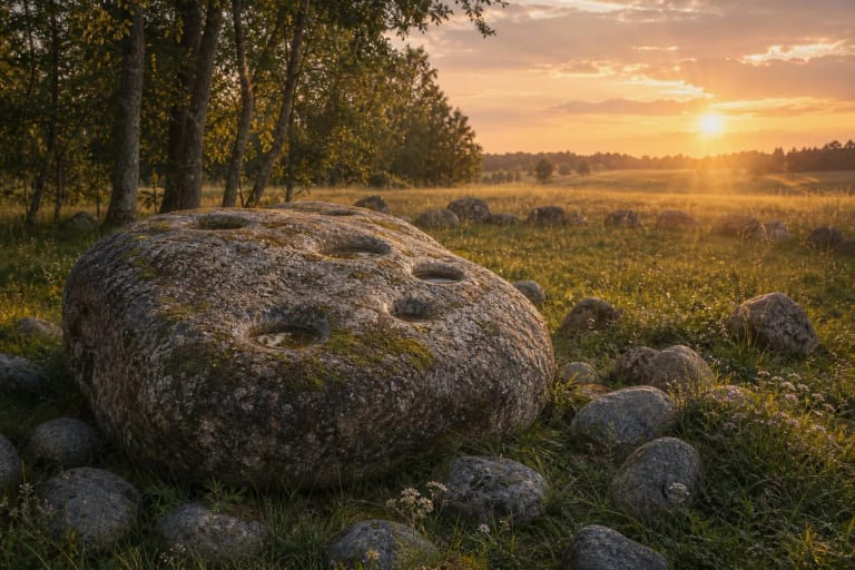
The value of an esker is its form, not its height. It does not look like a mountain, but the narrow crest clearly separates top, slopes, and lower wet areas. In Soviet times a gravel quarry operated here, later followed by an illegal dump, so the present trail is also a sign of landscape restoration.
Kame landscape and ponds
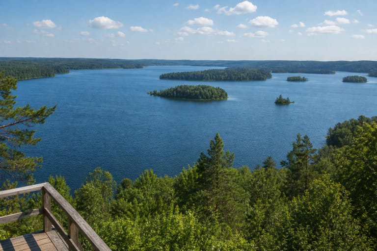
The esker is surrounded by a kame landscape: open spaces with small rounded hills resembling loaves of bread. This is the north-western part of hilly Samogitia, where glacial and post-glacial processes formed a wavy mosaic relief. Around the trail you can see ponds, and park presentations mention a view toward a water body with a heart-shaped island.
The water bodies help show the contrast of relief: the raised esker line and the lower watery areas reveal how different surface forms relate within a small territory. Still, the pretty views should not overshadow the geological meaning of the place.
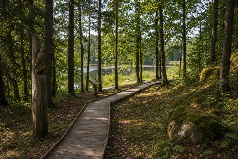
How to walk the Gardai Esker Trail
The trail is short and usually needs 30-60 minutes. Wear comfortable footwear, especially after rain, because narrow or steeper sections may be slippery. With children, explain beforehand that they should stay on the path and avoid sliding down the slopes.
Visit in daylight, when the relief and ponds are easy to see. In spring and autumn, when there is less foliage, the esker form can be even clearer.
What to combine nearby
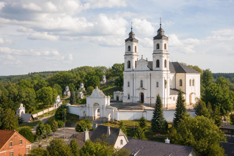
Gardai Esker Trail is convenient to combine with Žemaičių Kalvarija. It is a rare pairing where in a short time you can see both a religious pilgrimage centre and a natural form of glacial origin.
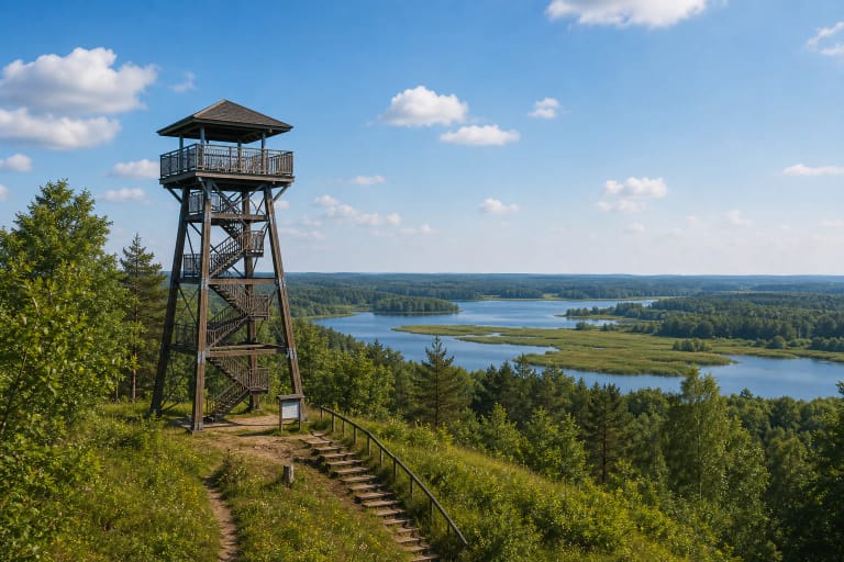
On a longer Žemaitija National Park route, Gardai Esker fits with Lake Plateliai, Paplatelė Trail, Siberijos Observation Tower, and the Cold War Museum. Together they show the park as a mosaic of lakes, relief, sacred history, and twentieth-century history.