- Place
- Klaipėda City Municipality
- Region
- Klaipėda
- Type
- shared urban cycle and walking path in a river valley
- Address
- From Biržos Bridge to Klaipėdos Street Bridge, Klaipėda
- Coordinates
- 55.73225, 21.15662
Danė River Cycling and Walking Path, Dangė River Cycle Path
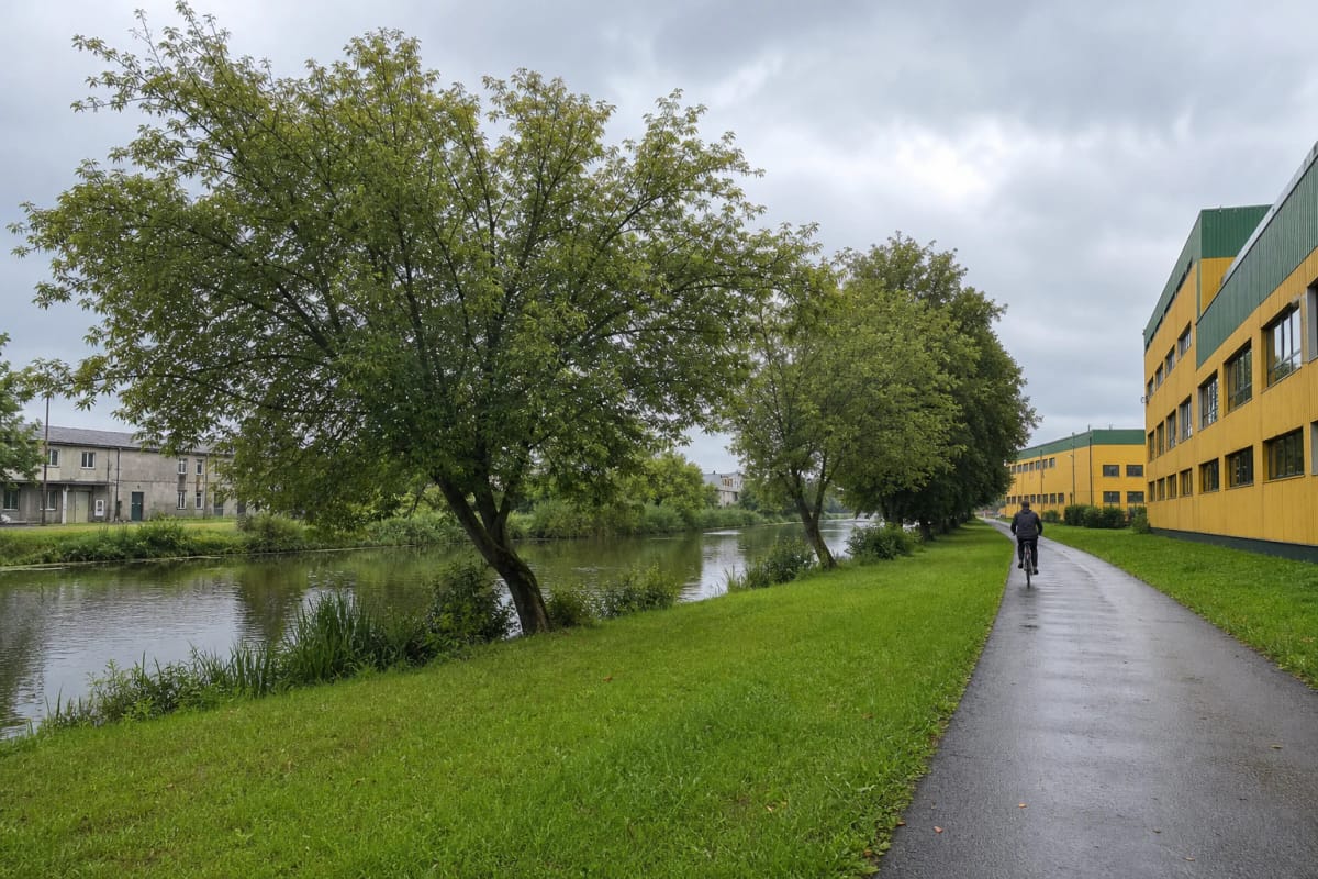
A 7.2 km route between the city and river valley
The Danė River Cycle Path is not merely the short central waterfront promenade. An official transport study records a 7,237 m completed section from Biržos Bridge to Klaipėdos Street Bridge, allowing a largely riverside journey from the old town toward Tauralaukis.
From Biržos Bridge, the path first follows the south side of the Danė to Liepų Street Bridge. Riders then cross to the opposite bank and continue on the north side to Klaipėdos Street Bridge. This change of bank is the route's most important navigational point and the easiest place to take a wrong turn on a first visit.
The separate map listing at 55.7322509, 21.1566241 marks a point on the Joniškė section, but the route itself extends much farther. Returning by the same path makes a journey of about 14.4 km.
How the view changes beyond the centre
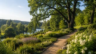
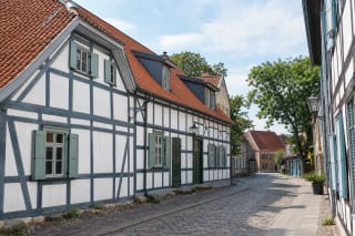
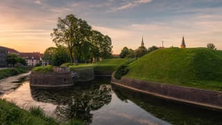
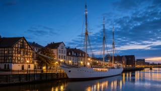
In the centre, the Danė is an urban river, framed by Biržos Bridge, Meridianas, masonry quays, boats, and dense buildings. Heading east, that architectural scene gives way to traces of Joniškė's industrial past, grassy banks, mature trees, and broader bends in the water.
A roughly 200 m bench alley intended partly for cyclists' rest stops began taking shape beside Joniškės Street in 2023. Farther on, the path approaches the Danė oxbow and the Eastern Garden section of Klaipėda University Botanical Garden, where the bank opens toward shaped terrain, ponds, and planting.
In 2026, the municipality announced a new picnic place at the Danė bend by the slopes near the Botanical Garden. It is a useful stop on the outer part of the route, but the garden displays form a separate visitor site with their own opening times and tickets.
From a 2008 design to the path opened in 2015
The Danė valley cycling and walking link was planned as a continuous piece of city infrastructure rather than a collection of improvised fragments. The technical design was prepared in 2008, construction began in 2012, and the more than 7 km section was completed in 2015.
The city's cycling-infrastructure plan describes it as a good-quality greenway. Beyond the central section, its 2.5 m width and river-valley setting create a recreational route that also serves everyday journeys between the centre and the Paupiai, Mažasis Kaimelis, and Tauralaukis directions.
Development did not stop with the opening. A proposed continuation from Klaipėdos Street Bridge to the city boundary is intended to pass Purmaliai Hillfort, so the present end of the completed route should not be confused with the planned north-eastern links.
Danė, Dangė, and the valley landscape
The Danė is a 67.66 km river in western Lithuania with a catchment of about 580 sq km. Above its confluence with the Tenžė it is called the Akmena, and in Klaipėda it enters the Curonian Lagoon. The lower channel broadens to 23-39 m, so the path reveals both narrow wooded bends and wider urban waterscapes.
The river's name has a long record. VLE notes a 1252 reference as Danghe, while the form Dange was used from 1290 to 1984. Both Lithuanian names, Danė and Dangė, can therefore still be encountered in Klaipėda, although Danė is most common in the path's mapped name.
The valley is a living and changing environment. Floodwater and currents eroded the bank by the Botanical Garden, and in 2025 the municipality was reinforcing roughly 200 m of slope with steel piles, a reinforced-concrete cap, stone protection, and gabions, while adding a safety barrier beside the path.
Planning a safe trip
The path is a free public urban space with no ticket or fixed opening hours. Allow 1-2 hours to cycle one way with relaxed stops or 2-3 hours to walk it; families may prefer one shorter section instead of the full out-and-back route.
This is a shared cycling and walking path. Cyclists should keep a safe speed, give warning before passing, and leave room for pedestrians at bridges and narrow points. From the centre, cross the approaches to Liepų Street Bridge carefully, and use lights and reflectors after dark.
After heavy rain or flooding, low sections can be wet, while bank and wooden-bridge work may temporarily alter access. Before a longer trip, check Klaipėda Municipality notices and always respect barriers rather than entering a closed section.