Žydaviškiai, Prienai District Municipality
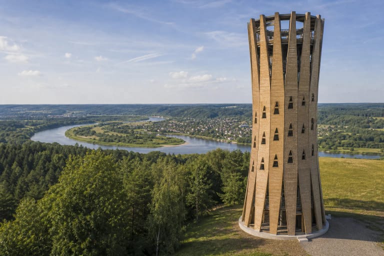
Nemunas Loops Regional Park
erosional Nemunas valley exposure and geological natural monument with viewpoint
Left bank of the Nemunas south of Žydaviškiai, near the Alytus-Prienai road
54.53430, 23.88410
30-45 minutes
spring to autumn in clear weather; in snowless winter the exposure can be easier to see
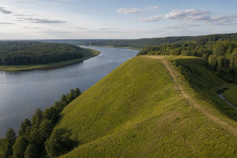
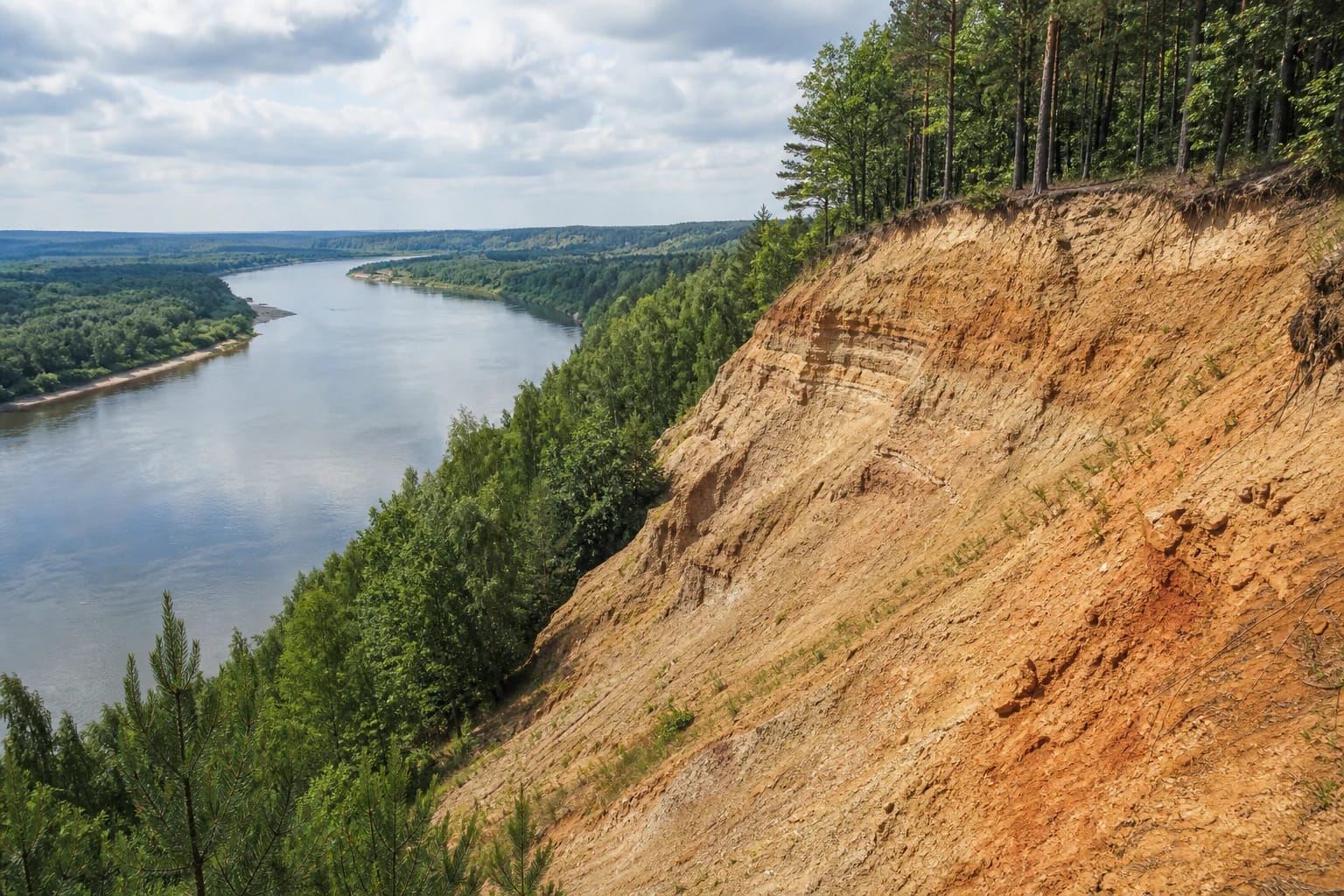
A wall of the Nemunas valley
Balbieriškis Exposure is one of Lithuania's most impressive geological exposures. It stretches along the left bank of the Nemunas south of Žydaviškiai village in Prienai District, inside Nemunas Loops Regional Park. The exposure is about 40 m high and extends 1.7 km along the river; in places the slopes are very steep, almost vertical.
The location matters: the exposure itself is on the left, Suvalkian bank of the Nemunas, while Balbieriškis town, which gave it the name, is across the river. Look for it near Žydaviškiai by the Alytus-Prienai road, not in the town itself.
Geology: what the exposure reveals
Its value lies in the Quaternary, or Ice Age, layers it reveals. At the top are banded lacustrine clays called varves, deposited in a proglacial basin at the end of the Pleistocene; with silt and sand interlayers, this layer reaches about 17 m thick.
Below the clays lies glacial moraine loam down to water level, about 23 m. These layers let visitors read Ice Age history like pages of a book, and geologists have studied the exposure as a visible section of former basin sediments.
Natural monument and erosion
Balbieriškis Exposure is declared a geological natural monument. Sources give different years: most often 1974, while VLE mentions 1980, so the exact date should be treated as not fully consistent across sources.
The exposure is alive and constantly changing. Gullies and landslides form on its slopes, and several other exposures occur in the same Nemunas stretch. Because of this erosion, the slopes are unstable and climbing them is dangerous.
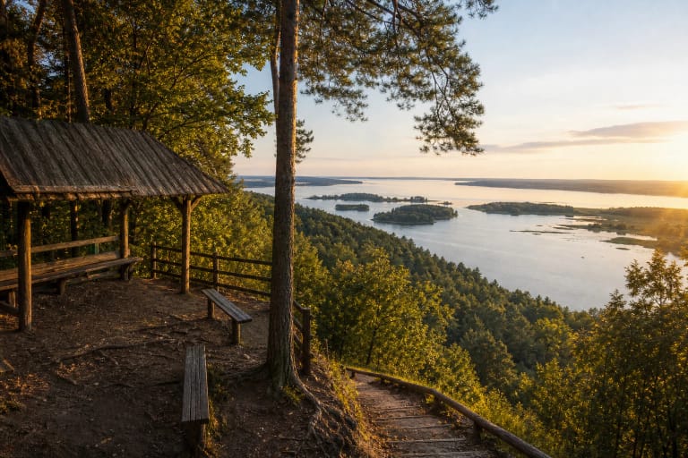
Viewpoint and panorama
A viewpoint is arranged above the exposure, opening a wide panorama of the Nemunas loop: the river bend, valley meadows, willow thickets, and forests. It is one of the most beautiful viewpoints in Nemunas Loops Regional Park.
Walking and cycling paths lead to the exposure, and parking is convenient by the Alytus-Prienai road. The best way to experience the exposure is from the viewpoint at a safe distance, without descending onto the slopes.
How to visit
The exposure is an open, freely visited site; 30-45 minutes is usually enough for the viewpoint and a short walk. It combines well with other Nemunas Loops Regional Park sites such as Birštonas viewpoint, Punia Hillfort, or Nemunas valley trails.
The main safety rule is to remain on the viewpoint and not climb the slopes, because they actively erode and slide. That keeps both visitors and the site safe.