- Place
- Klaipėda City Municipality
- Region
- Klaipėda
- Type
- working cruise and naval quay, public port-city space, and ship-watching location
- Address
- Priešpilio g. 4, Klaipėda
- Coordinates
- 55.70526, 21.12217
- Visit duration
- 30-60 minutes for the waterfront and ships; longer during a cruise arrival or city event
- Best time
- according to the official cruise schedule, in daylight, or in the evening for lagoon and harbour views
Cruise and Naval Ship Terminal, Klaipėda Cruise Terminal
Not a terminal building, but the meeting point of city and working port
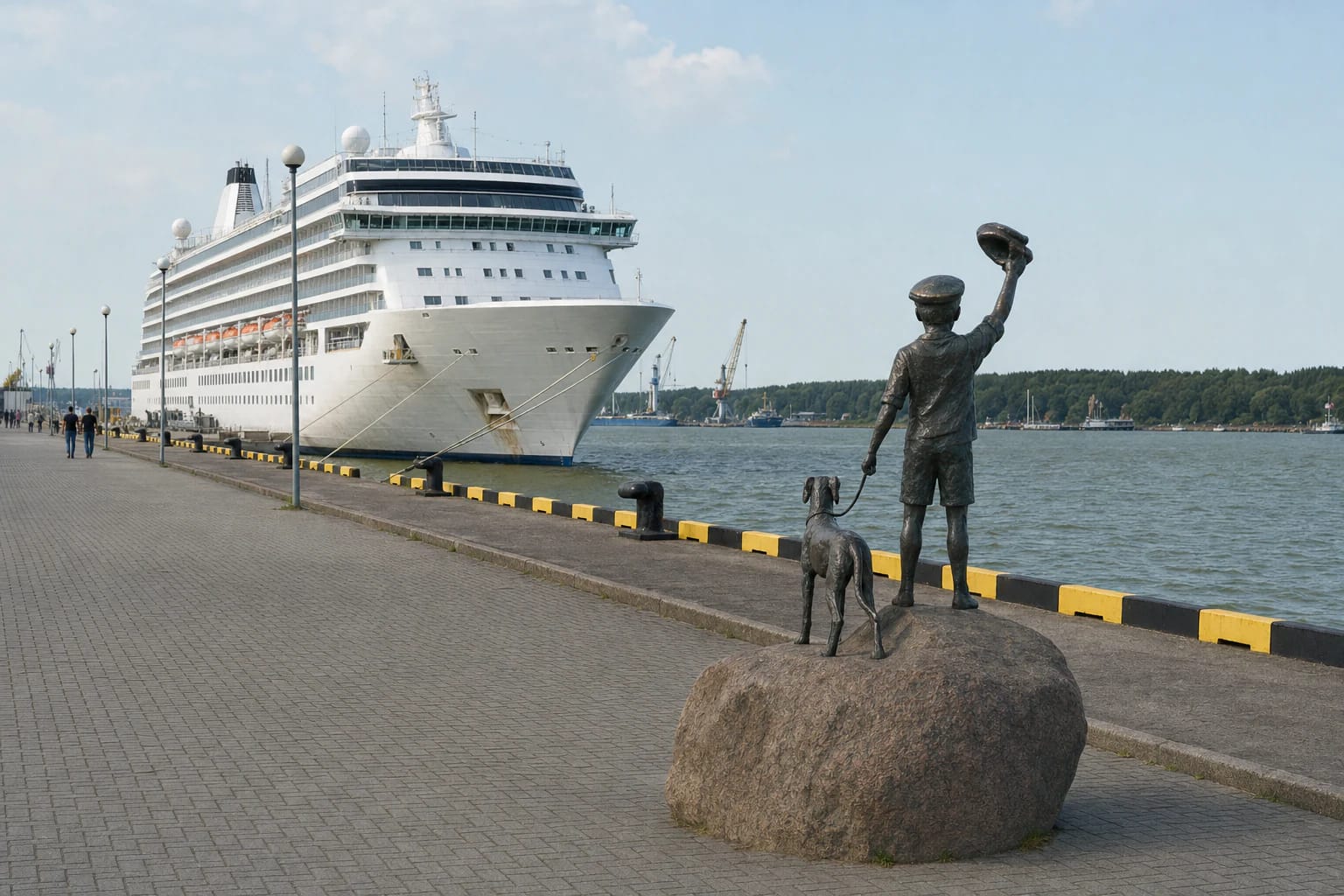
The Google Maps pin for Klaipėda Cruise Ship Terminal marks the quay area at 4 Priešpilio Street, not an airport-like passenger building. The visitor experience is the broad paved apron, Curonian Lagoon water, mooring equipment, and the chance to understand at close range how much space a large seagoing ship occupies.
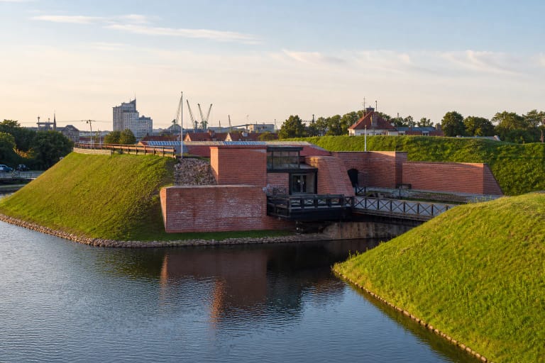
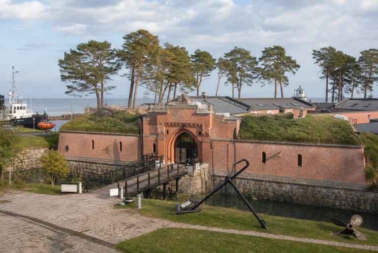
The terminal sits between Klaipėda's castle site, the mouth of the Danė, and an active port. On one side is the historic city centre; on the other are the trees of Smiltynė, the shipping channel, harbour machinery, and vessels. That contrast is the place's main attraction even when no cruise liner is at the quay.
This is not a viewing platform with one fixed scene. Ships move, part of the area may be fenced, and port or event operations can alter access, so each visit looks slightly different.
Klaipėda's sea gateway, opened in 2003
A Klaipėda City Municipality guide to cultural and historical sites states that the Cruise and Naval Ship Terminal opened in 2003. The Port Authority also associates 2003 with the terminal's construction and the last major investment of that period in this former ship-repair setting.
The new quay space allowed cruise passengers to disembark almost beside the old town and castle site. It became more than transport infrastructure. Klaipėda residents now gather here for Sea Festival concerts, ship parades, naval open days, and other maritime events.
On an ordinary day, technical details convey the scale better than decoration: berth numbers, bollards, heavy mooring lines, fenders, and safety signs. They are reminders that the public city space operates beside real shipping infrastructure.
How to actually see a cruise ship
Before setting out, open the Port of Klaipėda's official cruise schedule. It gives the ship's name and length, arrival and departure times, and berth number. The berth matters most because not every cruise vessel calling at the port docks in the same place.
On 14 July 2026, the live schedule contained 59 calls for the season, although the Port Authority had forecast 64 in April. That difference is practical evidence that cruise timetables change. Even after choosing a date, check the time and berth again on the morning of your visit.
A stationary ship is not the only worthwhile moment. A slow passage through the Klaipėda Strait, tug manoeuvres, and mooring reveal how the harbour works, but watch only from an authorised public area and never obstruct passengers, security staff, or port workers.
Childhood Dream and the maritime event square
The bronze composition Childhood Dream greets arriving and departing vessels. Created in 2007 by sculptor Svajūnas Jurkus and architect Vytautas Paulionis, it shows a boy standing on a rock and waving a sailor's cap toward the ships while a dog seems to pull him back toward the city.
It is a small figure against an immense liner, but that contrast in scale makes the sculpture memorable. The work brings together the urge to depart, the act of waiting, and daily life in a port city, so it rewards more than a quick photograph.
The square changes completely during major events. Stages and crowds fill the terminal, ships may be presented to visitors, and maritime ceremonies take place. At such times structures can block the water view, traffic may be restricted, and entry follows the rules of the specific event.
The old terminal and the 2027 project are not the same place yet
This page describes the terminal opened in 2003 at 4 Priešpilio Street, which is the place marked by the Google Maps listing. At the same time, the Port Authority is building a new cruise terminal on the Winter Harbour side, with development scheduled for 2027. The projects are related, but in 2026 they are not the same visitor attraction.
The official project covers 32,912 sq m and 900 m of quays, including 591 m across two berths for cruise ships. Plans also include walking and cycling paths, steps down toward the water, event areas, a marina, and new public views into Winter Harbour.
Until construction is complete, none of those elements should be treated as an operating visitor service. Fences, machinery, and temporary routes may change faster than map imagery, so follow signs on site and current Port Authority notices.
Access, safety, and a short walking route
Priešpilio Street was reconstructed in 2020 with paving, walking and cycling paths, 48 car spaces, eight coach spaces, and renewed approaches to the castle site. This does not guarantee an available parking place during a city event, cruise operation, or construction work.
There is no separate ticket for walking through the public part of the quay, but that does not mean the entire square is always open. Port security, mooring work, an event, or construction can temporarily close part of the area. You may board a berthed ship only when an official visit has been announced.
Most of the quay surface is level and suitable for a short walk, but the water's edge does not have the kind of continuous barrier found in a park. Keep children close, do not climb on bollards, and never cross barriers. Wind is stronger here than in the old-town streets, so an extra layer can help even on a warm day.
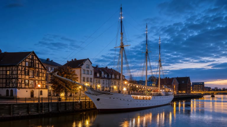
Allow half an hour for the quay and sculpture, or an hour to watch a ship without rushing. Continue on foot through the castle site to the Castle Museum, Ship-Museum Sūduvis, and along the Danė toward Meridianas and the old town. The terminal's Google Maps rating was 4.6 out of 5 on 14 July 2026; ratings change over time.