- Place
- Klaipėda City Municipality
- Region
- Klaipėda
- Type
- free central Klaipėda river promenade along the Buriuotojų quay
- Address
- Buriuotojų quay between Pilies and Biržos bridges, Klaipėda
- Coordinates
- 55.70918, 21.12979
- Visit duration
- 30 to 60 minutes; about 1.5 hours when combined with the old town, castle site, or Danė Riverside Square
- Best time
- a clear morning or long summer evening; after rain and in winter, allow for slippery paving, and during city events check temporary restrictions
Buriuotojų quay, left-bank Danė waterfront, Dangė riverfront
What the exact Google Maps listing represents
On 15 July 2026, the exact Google Maps listing named Danė River Waterfront, with place ID ChIJjc3hjiLb5EYRjFDhoJeF1BA, showed 4.9 out of 5. There is no single formal entrance: the pin at 55.70918, 21.129789 is a representative point for a linear public space.
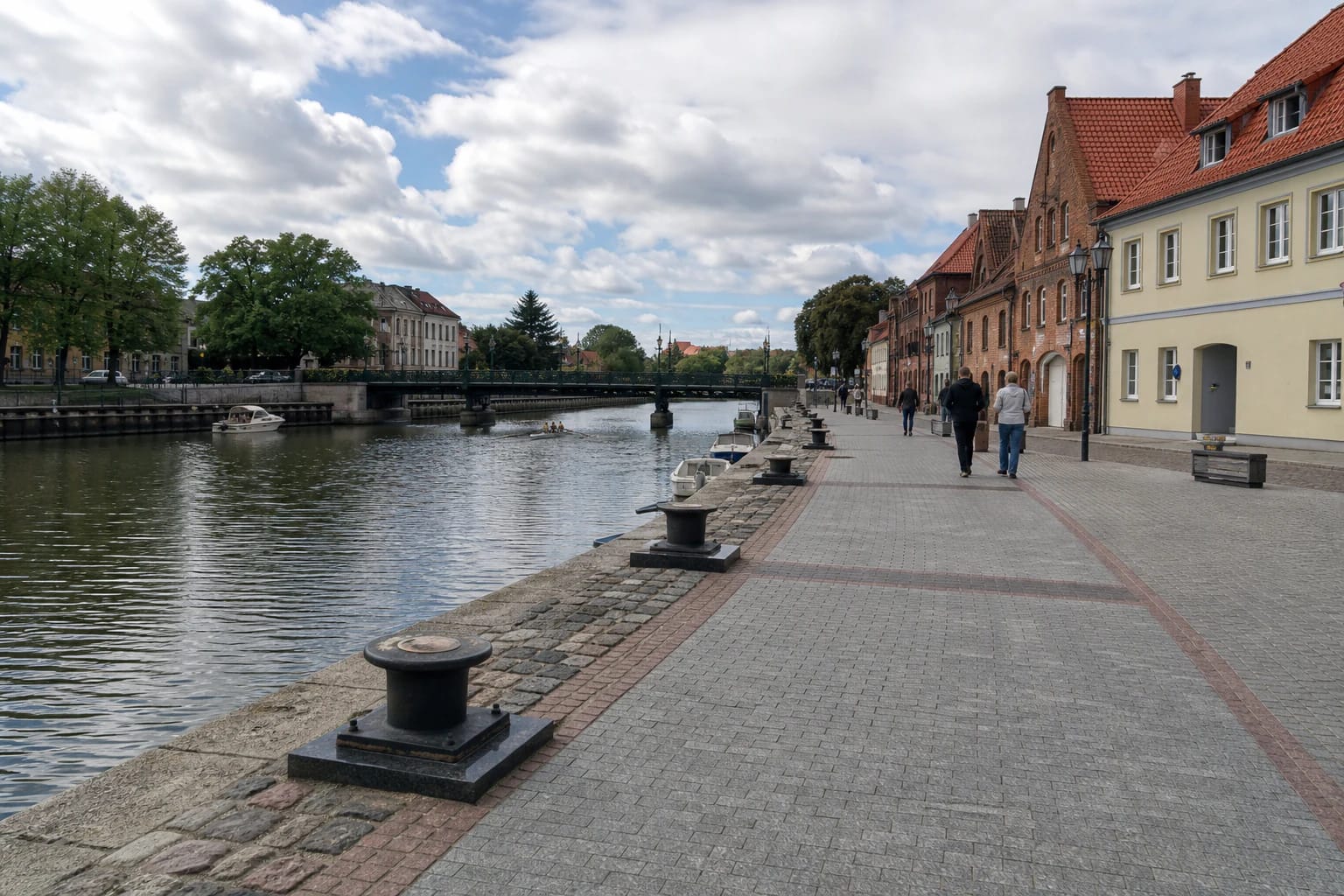
Klaipėda City Municipality officially names the left-bank section from Pilies Bridge to Biržos Bridge the Buriuotojų quay and gives its length as 318 metres. This south-bank promenade is the closest honest match for the listing and for the route a visitor can actually follow.
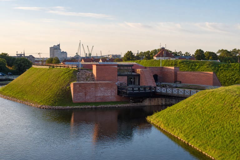
The listing does not cover the Danė's entire system of quays. Danė Riverside Square is across the river and farther east, Meridianas quay begins beyond Biržos Bridge, while the castle site, cruise terminal, and river mouth lie downstream to the west. They can form one wider walk, but they are not substitutes for this place.
The promenade between Pilies and Biržos bridges
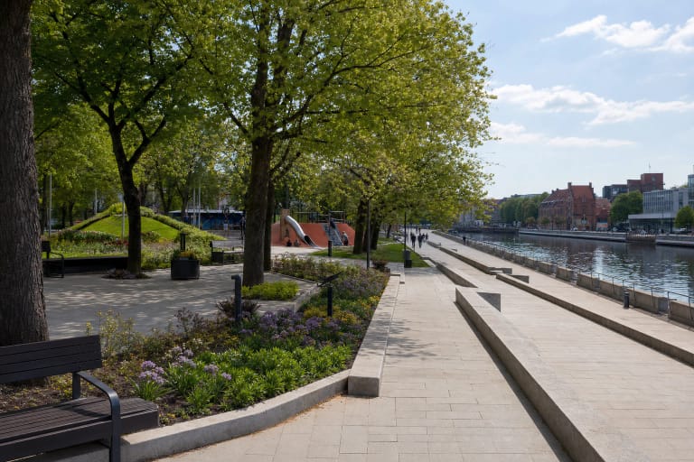
The clearest route starts at Pilies Bridge and follows the left bank east to Biržos Bridge. The 318-metre section takes only about 5 to 10 minutes to cross, but allow at least half an hour for river views, memorial bollards, and details in the surrounding buildings.
Most of the quay uses grey block paving, bands of stone, and hard-standing around mooring points. It opens directly towards the river and can contain mooring fittings, boat lines, or temporary barriers, so anyone walking close to the water should watch the surface as carefully as the view.
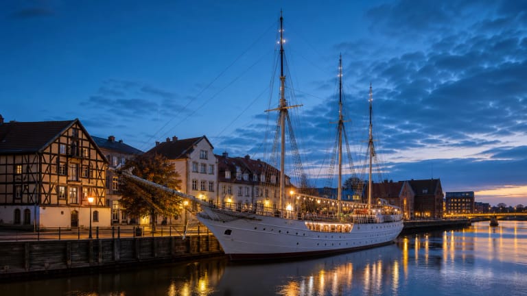
From the south bank, the view takes in the opposite Karališkoji quay, central Klaipėda's trees and buildings, and a changing mix of small leisure craft, paddlers, and moored vessels. Plan a loop on the opposite bank only after checking the current bridge and traffic signs, as bridge lifts, maintenance, or events can alter the usual route.
Memorial bollards and the stories of sailors
A working bollard is a strong post used to secure a vessel's line, but several along Buriuotojų quay have become memorials. Stone and metal forms with bronze plaques are set into the promenade, making them surprisingly easy to miss when attention stays fixed on the river.
One bollard recalls the yachts Audra, Dailė, and Lietuva. In 1989 they left this waterfront flying Lithuanian tricolours on the Klaipėda - New York - Klaipėda transatlantic voyage called For the Honour and Unity of Lithuania. Lietuva later sailed around the world in 1992-1993.
Other memorials recall Gintaras Paulionis, who rowed across the Baltic, the visit of the historic Norwegian vessel Anna af Sand, and the Millennium Odyssey of the yacht Ambersail. These are documented markers of maritime memory, not local legends, and their names, dates, and plaque symbols provide the most reliable interpretation.
From river port to city promenade
From the mid-16th century to the second half of the 18th century, Klaipėda's port fitted within the Danė. Weighing and loading areas, warehouses, herring sorting, and flax-weighing infrastructure stood beside its quays, tying the trading city's daily life directly to the river.
The shallow channel was repeatedly deepened and straightened, while ship ballast was used to raise the quays. Major port infrastructure began shifting towards the lagoon in the later 18th century, yet sawmills, shipyards, timber yards, and warehouses remained beside the Danė for much longer; vessels entered the city river until the mid-20th century.
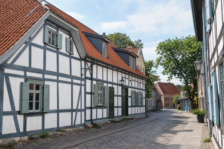
After the Second World War, damaged customs, exchange, weighing, and warehouse buildings were demolished. Surviving red-brick warehouses and some older mooring elements still convey the scale of the former port, but today's promenade is not an untouched 16th-century quay. It is a modern public space occupying a documented historic port corridor.
Access, surfaces, and safety beside the water
The waterfront is a free public space without an admission desk, gates, or published overall opening hours. Individual cafés, boat services, and events keep their own schedules and prices, while municipal work, the Sea Festival, or safety measures can temporarily narrow the passage. Check the latest municipal notices and signs before a visit tied to a specific event.
The principal promenade is broad, hard-surfaced, and largely level, although stone insets, bridge approaches, temporary equipment, and busy pedestrian flows can complicate movement. This is not a formal accessibility audit. A wheelchair user or anyone with limited mobility should assess the route from one bridge approach and avoid assuming access to lower boat pontoons.
Urban lighting helps with orientation after dark, but boats, bollards, and the quay edge can remain in contrasting shadow. Paving and stone may become slippery after rain or frost, and the exposed river can feel windy. The Danė is an active waterway, so keep children close, do not climb on bollards or cross barriers, and follow navigation and mooring signs.