- Place
- Lekėčiai eldership, Šakiai District Municipality
- Region
- Suvalkija
- Type
- a 4 km circular historical forest route through documented bunker and memorial sites associated with the Tauras Partisan District
- Address
- Rūdšilis Forest south-west of Lekėčiai, LT-71229 Šakiai District Municipality
- Coordinates
- 54.98763, 23.46658
- Visit duration
- 1.5-2 hours for the 4 km circuit with stops at the bunker sites and memorials; allow longer if you intend to read the full trailhead panel
- Best time
- a dry day from late spring to autumn, when forest tracks are easier to follow; make a first visit in daylight and use tick protection
Rūdšilis Partisan Memory Trail, Rūdšilis Partisan Struggle Trail, Rūdšilio partizanų kovų takais
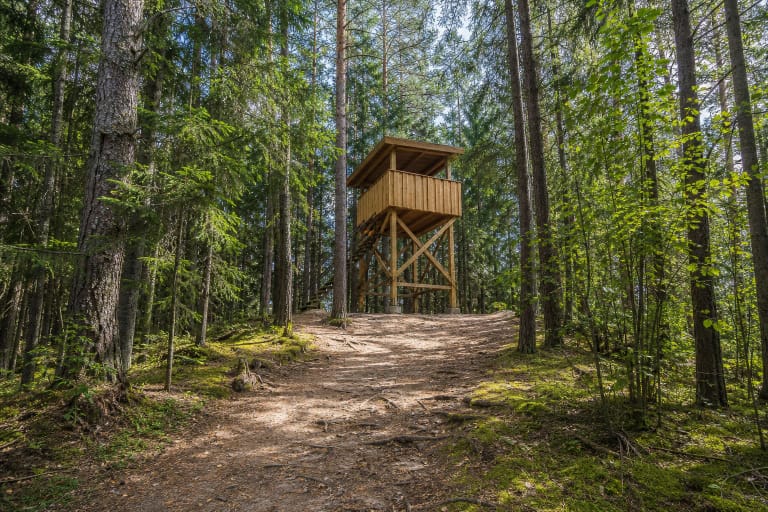
The 4 km circuit begins beside a bunker site and memorial in Rūdšilis Forest
The exact Google listing places the trailhead at 54.98763, 23.466585 in Rūdšilis Forest, south-west of Lekėčiai. On LGGRTC's official plan, the first site, information panel, and circuit start all coincide with the battle and death site of Julijonas Būtėnas and Petras Jurkšaitis. The pin on this page therefore marks the entrance to the route, not the centre of the forest loop or an officially confirmed car park.
LGGRTC presented the 4 km historical route to the public on 19 May 2017. Its official plan brings walkers back to the starting area, making it a practical circuit. Allow 1.5-2 hours to visit every station without rushing. A one-hour walk is possible only at a brisk pace and loses the route's essential content: the relationship between the sites and the account on the trailhead panel.
Most of the route follows forest roads and natural pedestrian sections. Current field accounts mention sand, a ploughed forest strip, and narrower paths leading to the bunker sites. The surface may soften after rain or forestry work, while summer brings bilberries and ticks along the verges. This is not a continuously boarded or compacted nature trail.
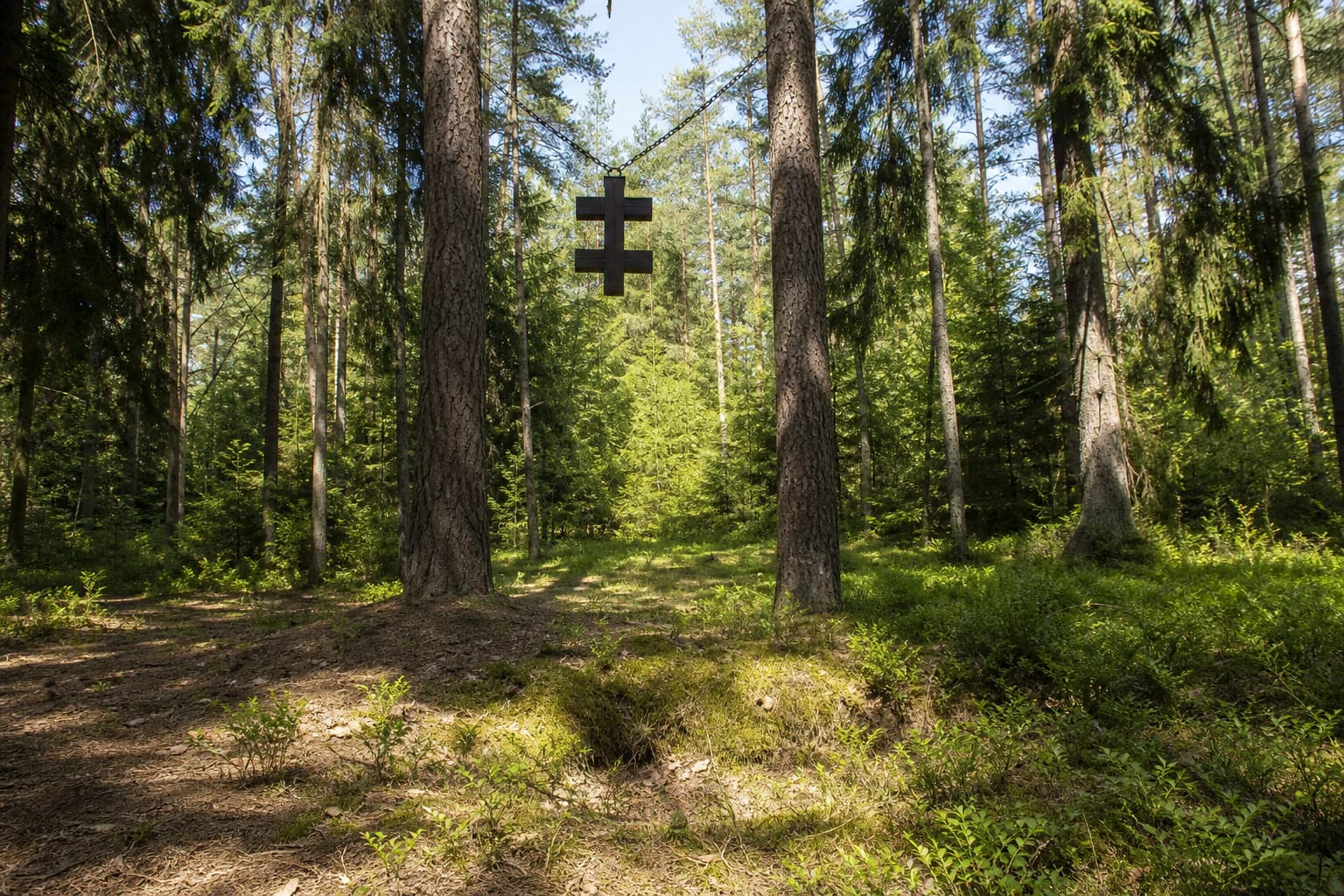
The official plan links four bunker sites, a supporter's cross, and the Būtėnas oak
At the trailhead is the bunker site of the Žalgiris detachment's Šturmas unit, where Julijonas Būtėnas and Petras Jurkšaitis died. Farther around the circuit, the official plan separately marks an unnamed partisan bunker, the bunker of Algimantas Matusas-Našlaitėlis and Aleksandras Povaitis-Riešutas, and that of Kostas Zaranka-Bitė. The route therefore contains four bunker sites, although LGGRTC's short written list names only three in detail.
Between those sites stand a cross to partisan supporter Antanina Naujokaitė-Aleknavičienė and an oak bearing Julijonas Būtėnas's name. They show that the resistance network extended beyond armed fighters. Communications, food, shelter, intelligence, and the daily risks taken by rural households allowed units to survive in the forest. The official account treats the cross and oak as independent stations rather than decorative trail furniture.
The Būtėnas oak stands beside the surroundings of an occupied homestead. Its inclusion on the route plan does not grant access to a private yard or permission to question or photograph residents. Stay on the marked route and, where the boundary is unclear, view the tree from the publicly accessible side.
Authenticity survives in the terrain and location, not in a visitor-ready underground bunker
Cultural Heritage Register code 36876 protects the specific battle and death site of Būtėnas and Jurkšaitis at the start, not the entire 4 km route. A heritage assessment adopted in 2017 recognised it as a historical property of national significance. The record defines an area of 924 square metres, locating the protected object precisely rather than applying the designation to Rūdšilis Forest as a whole.
The register describes a surviving bunker hollow approximately 4 by 3.5 metres across and about 1.6 metres deep, with the former entrance on its south-eastern side. It also records the hideout as partly restored. That does not mean visitors will find a safe, fully rebuilt underground structure open for entry. Its real value lies in the landform, the material character of the place, and its documented connection with the events of 1951.
Recent photographs from the other stations show shallow depressions, metal crosses, concrete direction markers, and the forest floor. Do not cross fences, descend into hollows, or move timber and stones. At a conflict site, even a small alteration to the ground can destroy what the trail asks visitors to read.
On 22 May 1951, the paths of a journalist and the commander of the Šturmas unit ended here
Julijonas Būtėnas was born at Dovydai on 24 March 1915. VLE identifies him as a journalist and participant in resistance to both the Soviet and Nazi occupation regimes. He studied law at Vytautas Magnus University, graduated from military school in 1937, wrote on foreign affairs for the daily XX amžius, was imprisoned by the Nazis, and after the war worked in the information and military activities of the Supreme Committee for the Liberation of Lithuania.
On 19 April 1951, Būtėnas and Jonas Kukauskas parachuted into the Kazlų Rūda forests. Moving through a liaison network, Būtėnas reached Rūdšilis and met Petras Jurkšaitis-Beržas. The heritage record identifies Jurkšaitis as commander of the Šturmas unit in the Žalgiris detachment and says that in 1950 he and his associates prepared a hideout for airborne agents arriving from the West.
The register records this forest site as the place where both men fought and died on 22 May 1951. VLE states concisely that Būtėnas was killed after being betrayed. Accounts differ in their reconstruction of the bunker's final minutes, so the responsible focus here is on the stable facts: the date, the location, the encirclement, and the identities of the two men who died, not an embellished version of disputed final details.
A memorial route opened in 2017 connected dispersed forest sites through one plan
According to LGGRTC, the new route opened to the public on 19 May 2017 during a commemoration for Partisan Honouring, Army and Society Unity Day. One information panel at the start explains the sites and displays the route plan. Its QR code was installed to open a clip from the film Sakalai parskrido about Julijonas Būtėnas's life.
The centre states that 15 direction arrows were installed to help visitors find the stations. The official plan also distinguishes footpaths, the approach usable by vehicles, former bunker symbols, the supporter's cross, and the oak. This matters because a Google pin shows only the trailhead and cannot guide a walker from one forest station to the next.
Do not confuse this 4 km circuit with another, much broader LGGRTC itinerary called Paskutinis Julijono Būtėno žygis, or The Last Journey of Julijonas Būtėnas. That route retraces the journey from the 1951 parachute landing site in the Kazlų Rūda forests to the Rūdšilis bunker and includes additional settlements and historical points. This page covers the exact Google listing and the short forest circuit at Rūdšilis.
There is no ticket, but a 24-hour map label does not mean a lit or continuously maintained trail
On 15 July 2026, the exact Google Maps listing Pažintinis maršrutas Rūdšilio partizanų takais, place ID ChIJR_jjMW3D5kYRRucdHKox3AI, averaged 4.5 out of 5 from 29 reviews and displayed 24-hour access. It met the selection threshold exactly, and both the average and review count will change. LGGRTC lists no admission charge, gate, or fixed visiting schedule for the route.
A 24-hour label for a public forest site is not a promise of lighting, winter clearance, or daily inspection of the arrows. Older field accounts describe weaker waymarking on the final section. Save the official route plan before travelling, carry a charged phone, and on a first visit begin with a generous margin before dusk.
The authoritative sources checked do not confirm a formal car park, toilet, drinking water, or accessibility across the entire circuit. Leave a vehicle only where local signs allow it and where forestry traffic remains unobstructed. Sand, roots, narrow paths, bunker hollows, and ruts from forest work mean the full route cannot be treated as reliably step-free. Carry water, wear closed footwear, use repellent, and leave no waste at the memorial sites.